Old Map of Oxfordshire

Price range: £35.55 through £59.95

An Old Map of Oxfordshire by John Speed

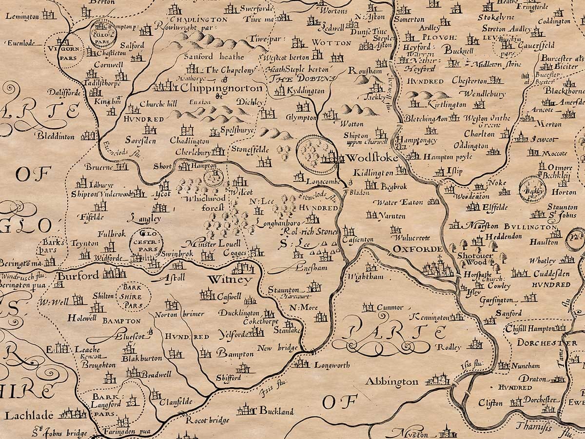
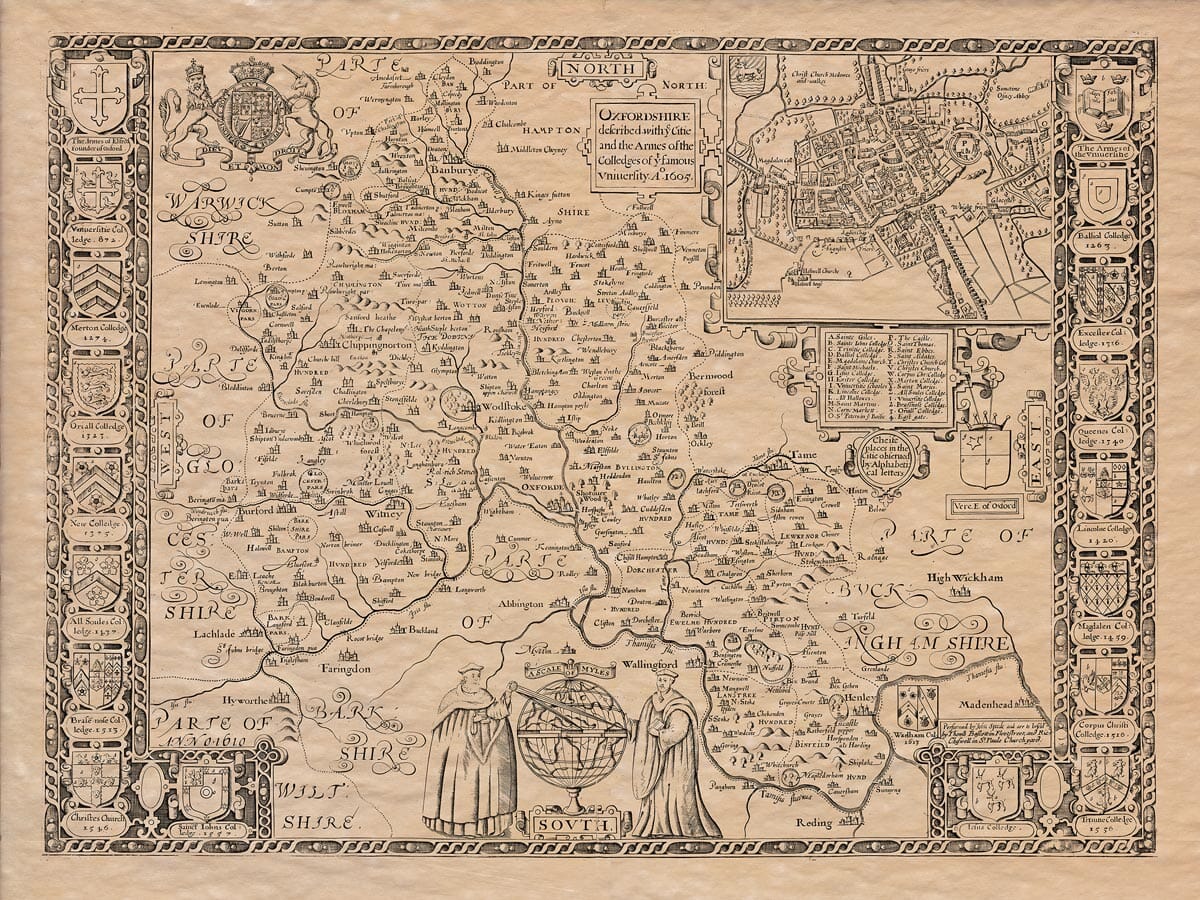
This fabulous old map print is crammed with detail and decoration including the arms of the Oxford colleges of the time and an incredibly detailed town plan of Oxford. Royal forests covered over two-thirds of Oxfordshire. Within the forest its many deer and prospects of good hunting made it very attractive to the Medieval Royalty. The manor of Woodstock was owned by Edward 1V and Henry V11, who both invested considerable amounts of money improving the house and grounds for hunting purposes. Subsequent monarch’s found Woodstock less inviting. By the early 12th century the small market town of Oxford was becoming a thriving commercial centre attracting scholars to occasional classes and lectures. Over the next 100 years a university was created from these small beginnings.

+ Read more

A stunning certified FINE ART PRINT on heavy textured art paper — not a poster

  • Direct from the publisher — no middlemen
  • Printed in-house in Cornwall
  • Free UK delivery — international shipping available
  • Produced to meet — and often exceed — museum-quality standards

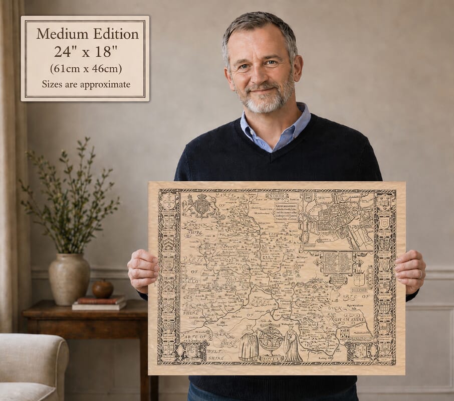
Size

Size

Inspecting Mercator's 1623 old map of Great Britain and Ireland

Fine Art Map Reproductions – Museum-Quality Printing

Unlike most online offerings, our maps are produced entirely in-house, not outsourced to print-on-demand or drop-shipping services. This allows complete control over quality while offering better value. Each map begins with a high-resolution original, carefully enhanced and printed to order using archival papers and pigment inks for exceptional clarity, depth, and longevity. Every piece is personally overseen — no map leaves our workshop unless it is of a quality we would be proud to display ourselves.

Hand hold a magnifying glass over West Cornwall Map

Authentic Old Map Paper & Accurate Colour Reproduction

Paper choice is essential to the authenticity of our maps. We use specially sourced 190gsm paper made in the UK from pure materials and traditionally pressed with natural woollen felts. This process creates a subtle, randomly textured surface that closely resembles an original antique document. Likewise the use of premium quality ink fully saturates the paper, producing remarkable clarity, depth, and historical character. Colour fastness and sharpness will remain good for in excess of 100 years!

Map in Postal Tube

Buy Old Maps Online in the UK Today Trading online since 1999

The Old Map Company of Great Britain offers a vast and carefully curated collection of the very finest expertly reproduced vintage maps. Our range includes works by renowned cartographers such as John Speed and Willem Blaeu, covering Scotland, England, and beyond. Free UK courier delivery is included, with EU, USA, and worldwide shipping available at cost and calculated at checkout. If you need assistance, our team is always happy to help you choose the perfect map.

RECENT REVIEWS

Daz
DazGB
Verified ownerVerified owner
5/5

Speedy delivery A beautiful representation

3 months ago
David H
David H
Verified ownerVerified owner
5/5

Got there in time and loves it! Cheers David [Gift from US to UK]

5 months ago
Ellan C-S
Ellan C-S
Verified ownerVerified owner
5/5

Thanks Lauren. We received it today - it's gorgeous! Thank you, Ellan

5 months ago
Ivano Di Battista
Ivano Di Battista
Verified ownerVerified owner
5/5

Thank you for your prompt service. I have a gallery and framing business in South Wales. I'm so pleased it is printed in the UK

6 months ago
Robert B
Robert B
Verified ownerVerified owner
5/5

My Isles of Scilly map arrived safely and I'm delighted with it!

6 months ago
Andrew T
Andrew T
Reviewer
5/5

The print arrived safely and we're delighted with it - a lovely reminder of our honeymoon 15 years ago.

6 months ago
Hannah J
Hannah J
Verified ownerVerified owner
5/5

I have just received them! I'm sure our clients will be pleased with them and there could be more projects off the back of this one where we can use more. [Interior Designers]

6 months ago
Sean MacManus
Sean MacManus
Verified ownerVerified owner
5/5

I just received my map of Ireland by Ewart today and, as usual, I am delighted by its quality. The crispness and fineness of detail is excellent and the colour reproduction surpasses my expectations. Please relay my thanks to Steve for another fine effort!

7 months ago
John G
John G
Verified ownerVerified owner
5/5

Many thanks, Lauren. Very pleased with the map and the service: would recommend The Old Map Company to anyone interested in Old Maps.

8 months ago
Lois K
Lois K
Verified ownerVerified owner
5/5

Thrilled , Lauren! Thank You

9 months ago
Ed Simpson
Ed Simpson
Verified ownerVerified owner
5/5

Many thanks, the map arrived safely this morning, and I’m really pleased with it. A stunning reproduction, just as I had hoped. I will keep browsing your website, and may yet be tempted by more of your items! Have a great weekend.

9 months ago
Daniel McCade
Daniel McCade
Verified ownerVerified owner
5/5

Just arrived, wonderful map! Thanks very much!

10 months ago
Jonathon R
Jonathon R
Verified ownerVerified owner
5/5

The map – beautiful – arrived safely, very many thanks.

1 year ago
Rasa Terbetiene
Rasa Terbetiene
Verified ownerVerified owner
5/5

Thank you, I have already found the map. It’s wonderfull! Good luck! Rasa

4 years ago
Mina M.
Mina M.
Verified ownerVerified owner
5/5

My apologies for the very late reply. I wanted to reach out to thank you so much for rushing my order. My partner absolutely loved it. I am amazed with the service so that is a five-star from me. I wish you all the best.

4 years ago

Historical Background

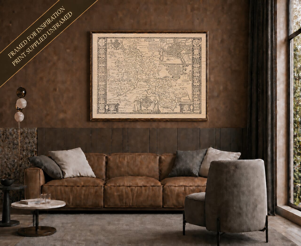
John Speed’s old map of Oxfordshire celebrates the university as well as the county. College arms form decorative borders down both sides, and a detailed plan of Oxford fills the upper right, balanced by two academic figures beside a large globe at the foot of the map.
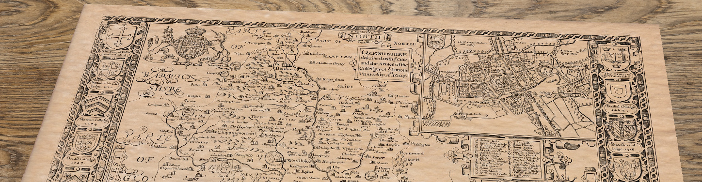
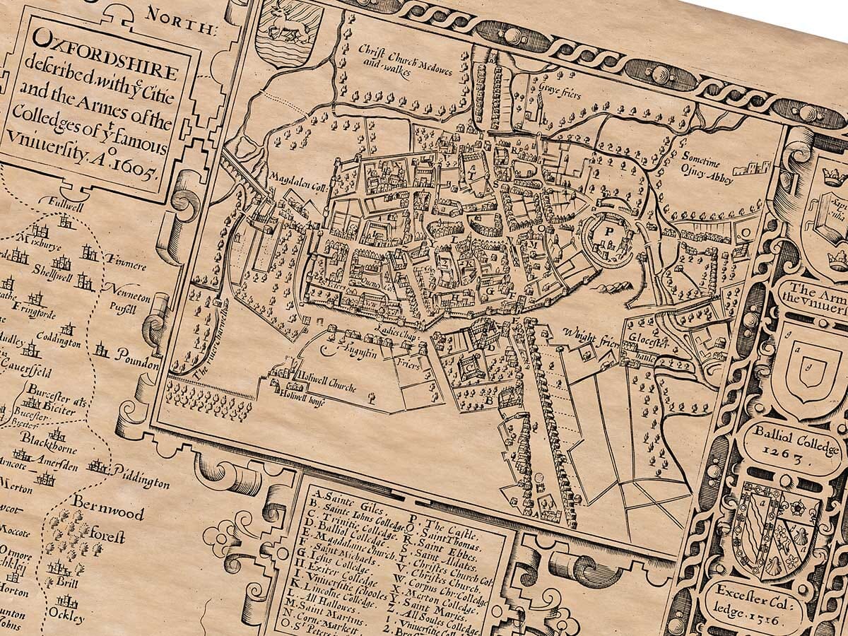
Upper section of Old Map of Oxfordshire, lying at an angle on an antique ash table

Map Details

  • Original title: Oxfordshire described with ye citie and the armes of the colledges of ye famous university
  • Mapmaker: John Speed
  • Dates: 1605 in the title; 1610 also engraved near the lower border; first atlas publication 1611
  • Publisher and edition: The reproduced map carries the later Thomas Bassett and Richard Chiswell imprint, London, associated with the 1676 edition.
  • Source atlas: The Theatre of the Empire of Great Britaine
  • Area shown: Historic Oxfordshire, with a detailed county-town plan

Oxford and its colleges

The town plan distinguishes streets, buildings, waterways and open ground, with a lettered key naming colleges and other places. Christ Church’s meadows and walks are labelled beyond the built-up centre. The college shields around the county map carry names and dates, making them a particularly appealing feature for someone with a connection to Oxford.

From Banbury to Henley

Banbury, Woodstock, Witney, Thame and Henley appear among the county’s rivers, wooded parks and pictorial hills. The Thames helps define the southern landscape. Places such as Abingdon and Wallingford are shown in the surrounding area labelled Berkshire, a useful reminder that county boundaries have changed since the map was made.

Reading the dates on the map

The title includes 1605, while 1610 appears near the lower left. These dates relate to the map’s early production; they are not the publication year of every later impression. The Bassett and Chiswell inscription belongs to a later edition. Keeping those details distinct helps explain the historical layers visible in this print.

A fine art print supplied unframed, with the original map’s warm tones and engraved detail preserved.
You may also like…