Historical Background
Frederick de Wit’s chart presents the eastern Atlantic as it was understood by European navigators during the later seventeenth century. Its long sweep of coastline begins with southern Spain and Portugal, crosses the Strait of Gibraltar and continues down the shores of Morocco and West Africa to the Gambia. Rather than describing the African interior, the chart concentrates upon the coast, islands and sea routes that mattered to mariners.
Map Details
Original title: Barbariae et Guineae Maritimi à Freto Gibraltar ad Fluvium Gambiae cum Insulis Salis Flandricis et Canaricis Apud F. de Wit
Cartographer and publisher: Frederick de Wit
First published: Amsterdam, c.1675
Source publication: Orbis Maritimus ofte Zee Atlas
Area shown: The eastern Atlantic, from the Iberian Peninsula and Strait of Gibraltar to the River Gambia
Atlantic islands: Azores, Madeira, Canary Islands and Cape Verde
Original method: Copper engraving, issued in coloured and uncoloured states
A Chart Drawn for the Atlantic
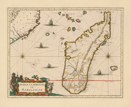
The pattern of radiating rhumb lines immediately identifies this as a sea chart. These lines allowed a navigator to follow a constant compass bearing across the chart, while the carefully drawn headlands, bays, islands and river mouths helped establish a vessel’s position in relation to the coast.
Several compass roses organise this dense network of courses. Longitude and latitude divisions run around the border, and soundings and coastal names are concentrated where they would have been most useful to a seventeenth-century mariner. Decorative sailing ships occupy the open Atlantic, including scenes of ships exchanging cannon fire.
From Gibraltar to the Gambia
At the top left, the coasts of Spain and Portugal frame the entrance to the Strait of Gibraltar. Across the water lies Morocco, followed southwards by the coast around Cape Bojador, the Senegal region, Cape Verde and the mouth of the Gambia.
The outline is recognisable, although the proportions and inland detail reflect the incomplete geographical knowledge available to De Wit. Rivers near Senegal and Gambia receive particular attention, while much of the interior remains uncharted. The contrast shows how European knowledge of West Africa was still shaped principally by maritime contact.
The Atlantic archipelagos were essential landmarks. The Azores and Madeira lie to the west of Iberia and Morocco; the Canary Islands appear off the north-west African coast; and the Cape Verde Islands are plotted farther south and west.
Cartography, Commerce and Colonial Expansion
This chart belongs to a period of intense competition for control of Atlantic shipping and trade. Dutch, English, French, Portuguese and other European vessels travelled these waters in pursuit of commodities, colonial possessions and strategic harbours.
That history also includes the forced transportation of enslaved African people across the Atlantic. The chart does not explain that human cost, but the routes and coastal regions it records formed part of the same expanding maritime system. Seen today, it is both an impressive work of cartography and evidence of the commercial and colonial ambitions that shaped European mapping of Africa.
De Wit’s Decorative Engraving
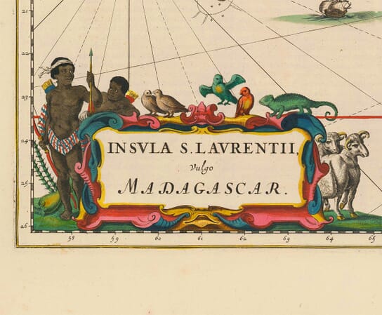
The large cartouche is one of the chart’s commanding features. Figures in European and African dress surround the Latin title, accompanied by animals and trade goods. Its theatrical treatment turns the title into a miniature scene while revealing how European publishers presented distant regions to their customers.
Frederick de Wit was among Amsterdam’s leading mapmakers and publishers. His charts were admired for their clear engraving and decorative finish, and the plates from his maritime atlas continued to be printed in later editions. The vigorous ships, coloured coastlines and intricate web of navigational lines make this one of the most visually engaging charts in the series.







 Verified owner