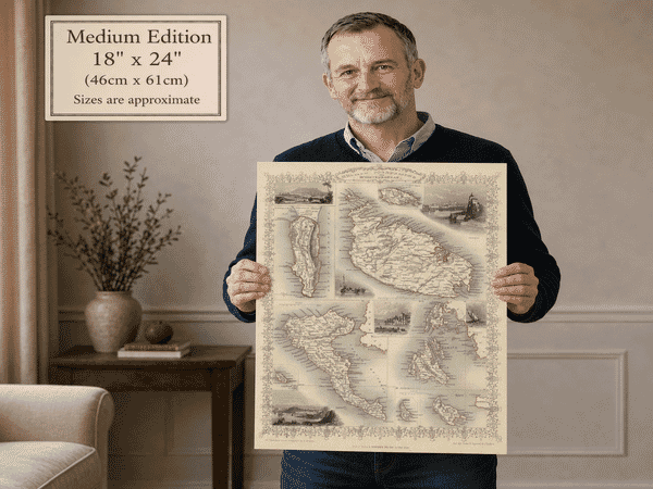
Gibraltar and the Great Siege of 1782
This old map of Gibraltar was published in Edinburgh by John Thomson in 1817. It originally formed one of several detailed insets surrounding Thomson’s larger Chart of the Mediterranean Sea, prepared for his New General Atlas.
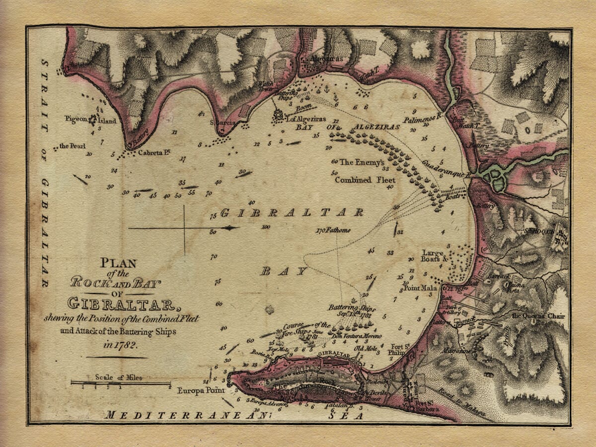
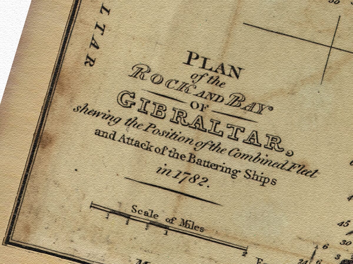
Its engraved title reads Plan of the Rock and Bay of Gibraltar, shewing the Position of the Combined Fleet and Attack of the Battering Ships in 1782. Samuel John Neele, whose London engraving workshop produced many maps for British atlases, engraved the complete Mediterranean chart.
Although the plan commemorates events of 1782, the map itself was published thirty-five years later. This distinction is worth preserving: it is an early nineteenth-century atlas map recording a celebrated eighteenth-century siege.
The Great Siege of Gibraltar
The Great Siege began in 1779, after Spain entered the American War of Independence as an ally of France. Spain’s principal European objective was to recover Gibraltar, which had been held by Britain since the early eighteenth century.
The British garrison was commanded by General George Augustus Eliott. For several years, Gibraltar endured blockade, bombardment and shortages while Spanish and French forces gathered around the bay and across the isthmus.
The crisis came in September 1782. A large combined attack was planned using land batteries, warships and ten specially constructed floating batteries. These heavily armed vessels were reinforced against cannon fire and fitted with water systems intended to extinguish incendiary shot.
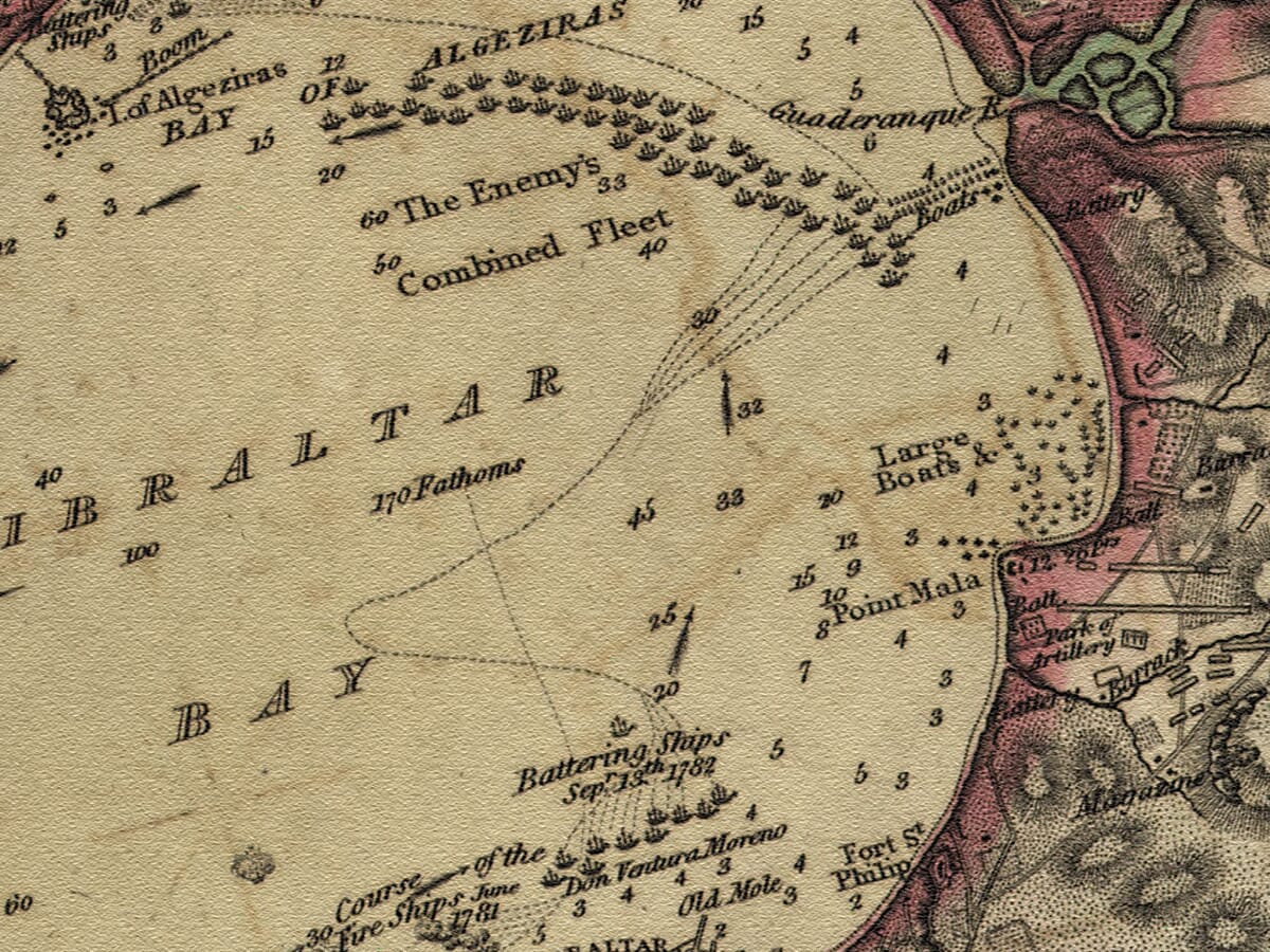
On 13 September, the floating batteries moved into position close to the Rock. Their placement is recorded across the centre of Thomson’s plan, together with the lines of the combined fleet farther inside the Bay of Gibraltar.
British gunners responded with heated cannonballs. The red-hot shot lodged in the timberwork of the floating batteries and eventually started fires that their protective systems could not contain. Several vessels burned or exploded, while others were abandoned. British boats later entered the bay to rescue survivors.
The failure of this carefully prepared assault proved decisive. Gibraltar remained in British hands, and the siege continued until the end of hostilities in 1783.
Reading the Battle Plan
The map covers the Bay of Gibraltar from the Rock and Europa Point northwards towards Algeciras. The Spanish coast, rivers, anchorages and shore batteries are shown around the upper and right-hand edges.
Gibraltar occupies the lower part of the engraving. Its fortifications, harbour, batteries and steep terrain are represented in fine detail. Closely engraved hachures give shape to the Rock and the surrounding hills.
Numerous depth soundings cross the bay, reflecting the plan’s origins within a larger maritime chart. These figures would have helped a reader understand the navigable water, coastal shallows and positions available to ships.
The attacking battering ships appear in a line offshore, while the enemy’s combined fleet is arranged farther north. Dotted courses and annotations record movements during the attack. Large boats, shore batteries and naval formations turn the map into a visual account of the battle rather than a conventional geographical survey.
Algeciras, Palmones, the Guadarranque River, Point Mala and Europa Point can all be identified. The Strait of Gibraltar lies to the west and the Mediterranean Sea to the south, emphasising the strategic position of the Rock at the entrance to the Mediterranean.
A Map of Gibraltar’s Defences
Thomson’s plan brings together topography, hydrography and military history. It shows why Gibraltar was so difficult to capture: the steep Rock, fortified shoreline and commanding position gave its defenders a considerable advantage, despite the strength of the opposing forces.
The restrained hand colouring distinguishes the coast and fortified areas without obscuring the engraved detail. Ships, batteries, soundings and relief remain clear across the composition.
For anyone connected with Gibraltar, maritime history or the eighteenth-century siege, this fine art print preserves an absorbing record of the attack of 1782 and the geography that shaped its outcome.
Map Details
- Original title: Plan of the Rock and Bay of Gibraltar, shewing the Position of the Combined Fleet and Attack of the Battering Ships in 1782
- Cartographer and publisher: John Thomson
- Engraver: Samuel John Neele
- Published: Edinburgh, 1817
- Atlas: Thomson’s New General Atlas
- Original source: Inset from Chart of the Mediterranean Sea
- Historical event: Great Siege of Gibraltar, 1779–1783
- Attack depicted: 13 September 1782
- Principal places: Gibraltar, Algeciras, Europa Point, Point Mala, Palmones and the Guadarranque River
- Features: Fortifications, shore batteries, ships, fleet positions, depth soundings and relief
- Format: Hand-coloured engraved map





 Verified owner