Explore old maps of North America, South America and the Caribbean, reproduced from historic atlases, sea charts and early geographical surveys.
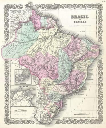
This collection brings together old maps of North America, South America and the Caribbean, reproduced from historic atlases, sea charts and geographical surveys. The maps range from continental views of the Americas to more detailed representations of Canada, California, Mexico, Brazil, Cuba, Jamaica, Cape Horn and the Strait of Magellan. They record changing coastlines, place names, territorial claims, maritime routes and the developing European understanding of the continents.
Cartographers represented in the collection include John Speed, Joan Blaeu and Johann Baptist Homann, whose maps reflect different periods, sources and conventions of geographical publishing.
Mapping the Americas Across the Centuries
A Geography Gradually Redrawn
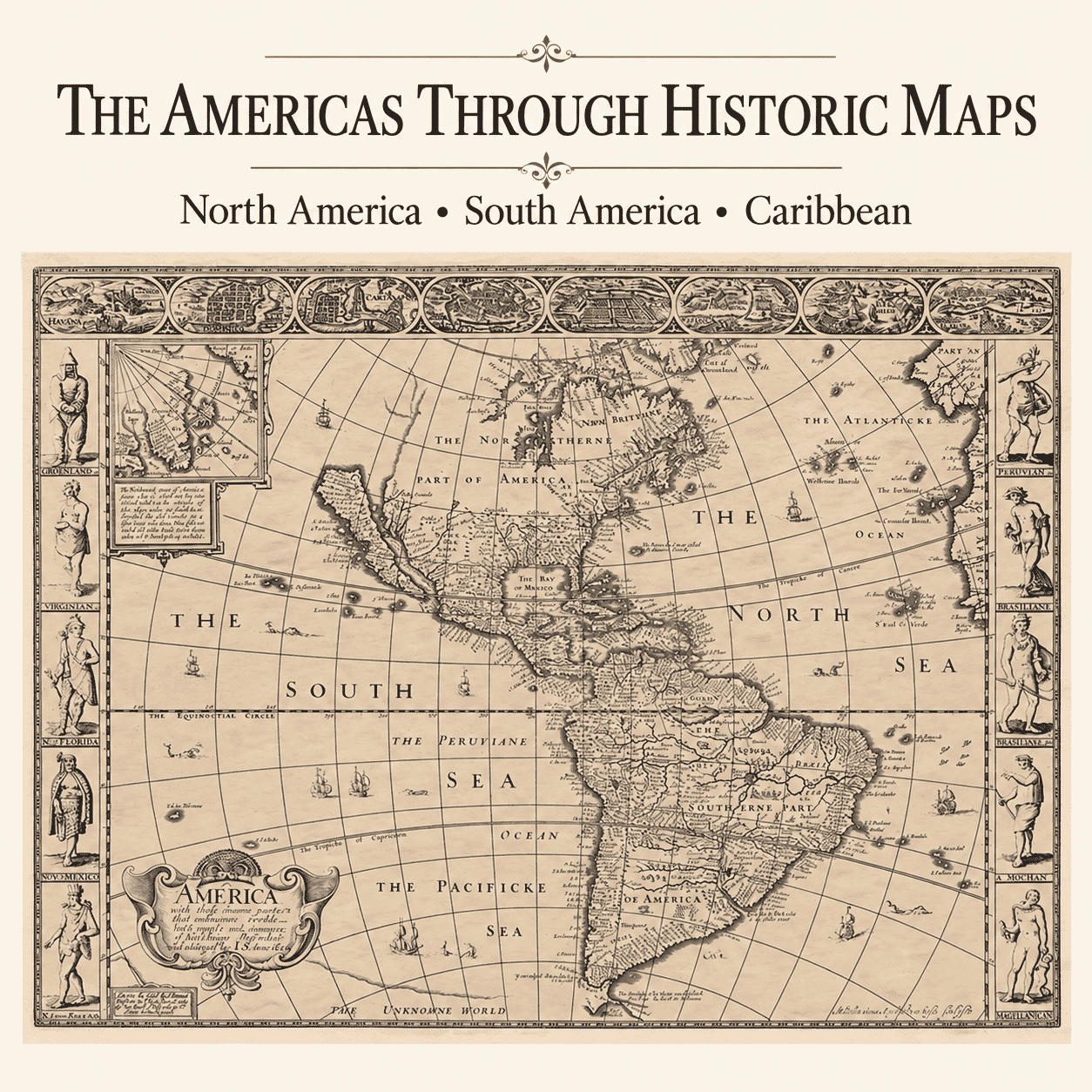
European maps of the Americas changed dramatically as voyages and surveys supplied new information. Coastlines often became recognisable before inland regions were understood, and older ideas could survive long after contrary evidence emerged. The famous depiction of California as an island is one example of an error repeated through numerous editions and now valued as part of cartographic history.
North, South and the Caribbean
The collection spans an immense area, from Canada and the northern Atlantic to Cape Horn and the Strait of Magellan. Maps of Mexico, Brazil and other countries sit alongside charts of Cuba, Jamaica and the wider Caribbean. Continental views provide historical sweep, while regional and island maps reveal the dense network of ports, settlements and sea routes that shaped exploration and commerce.
Maps and Colonial Viewpoints
These works were largely produced for European audiences and reflect the priorities, claims and language of their makers. Indigenous homelands may be simplified, renamed or interpreted through colonial sources. That limitation is important to recognise. The maps remain valuable historical evidence precisely because they show how geography and power were represented in a particular time and place.
Maps for Regional and Family History
Regional, national and island maps can place a family connection, historic settlement or maritime route within its wider geographical setting. Older spellings, former boundaries and changing place names may provide useful context, although the maps should be read as records of their own period rather than as precise evidence of ancestry, ownership or Indigenous territorial boundaries.
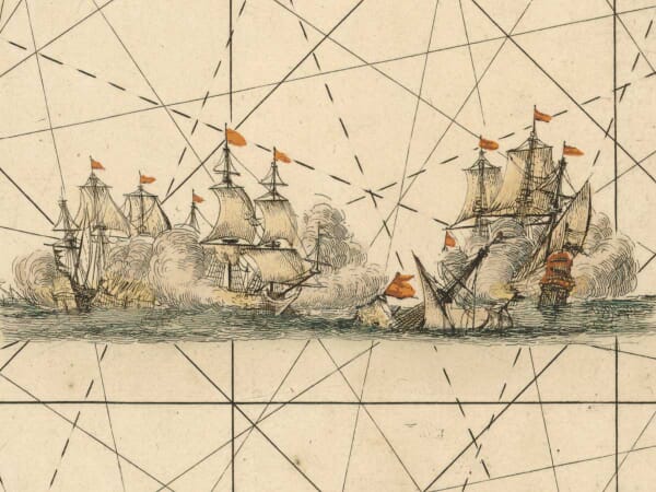
Their cartouches, ships, engraved coastlines and figured decoration also reveal how publishers presented distant places to readers who might never encounter those landscapes directly.