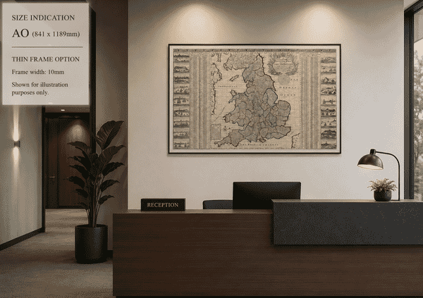
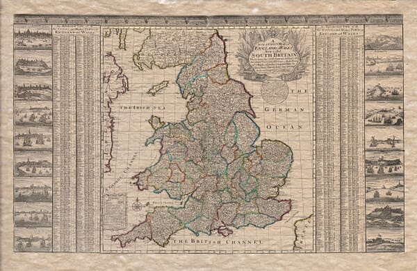
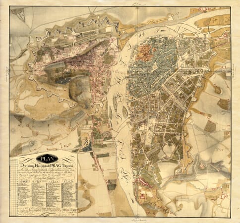
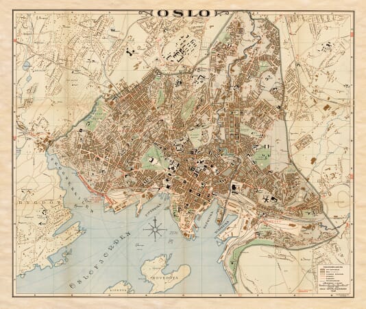
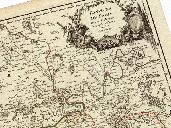
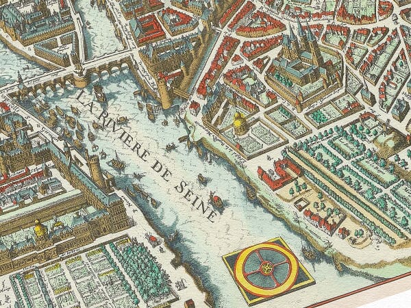
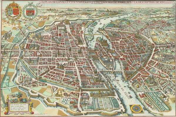
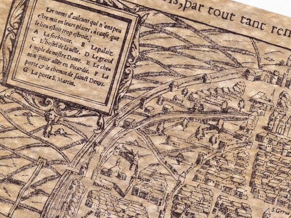
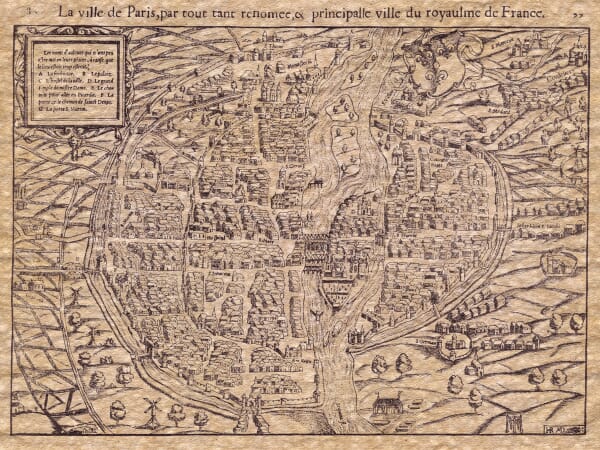
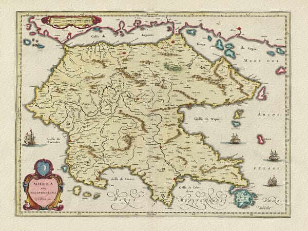
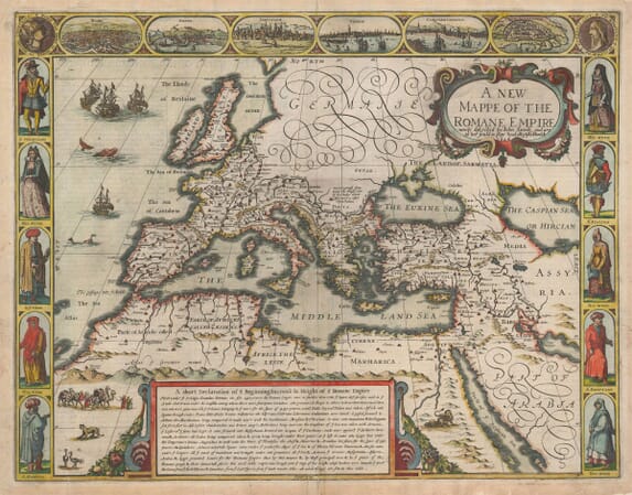
Discover our collection of old maps of Europe, including countries, regions, islands and cities from across the continent. The range covers France, Italy, Spain, Germany, the Mediterranean, the Balkans, Scandinavia, Eastern Europe and many other destinations.
From richly decorated early maps to detailed nineteenth-century surveys, each work preserves historic borders, changing place names and the artistry of European cartography. Our fine art editions are printed individually in Cornwall using archival pigment inks on heavy textured art paper.