
Description
Historical Background
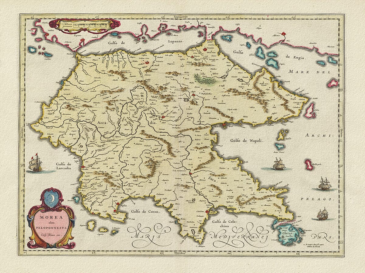
The title Morea olim Peloponnesus brings the early modern name Morea together with the classical Peloponnesus. This map carries the imprint Guilj. Blaeu exc. and belongs to the seventeenth-century Amsterdam Blaeu atlas tradition. The Bibliothèque nationale de France catalogues a matching design in the 1640 atlas; the supplied artwork does not establish the date of this particular impression.
Map Details
- Original title: Morea olim Peloponnesus
- Mapmaking house: Blaeu, Amsterdam
- Imprint visible on the map: Guilj. Blaeu exc.
- Date: Seventeenth century; a matching design is catalogued in the Blaeu atlas of 1640
- Exact impression: Not established from the product image
- Area shown: The Peloponnese, neighbouring mainland shores and surrounding islands
- Orientation: North towards the top, labelled Septentrio
- Visible features: Pictorial relief, rivers, settlements, sailing ships, decorative title and scale cartouches
Morea and Its Older Names
The Latin word olim means “formerly”. The title therefore presents Morea as the region once called Peloponnesus, connecting a contemporary geographical name with the classical world familiar to educated atlas readers.
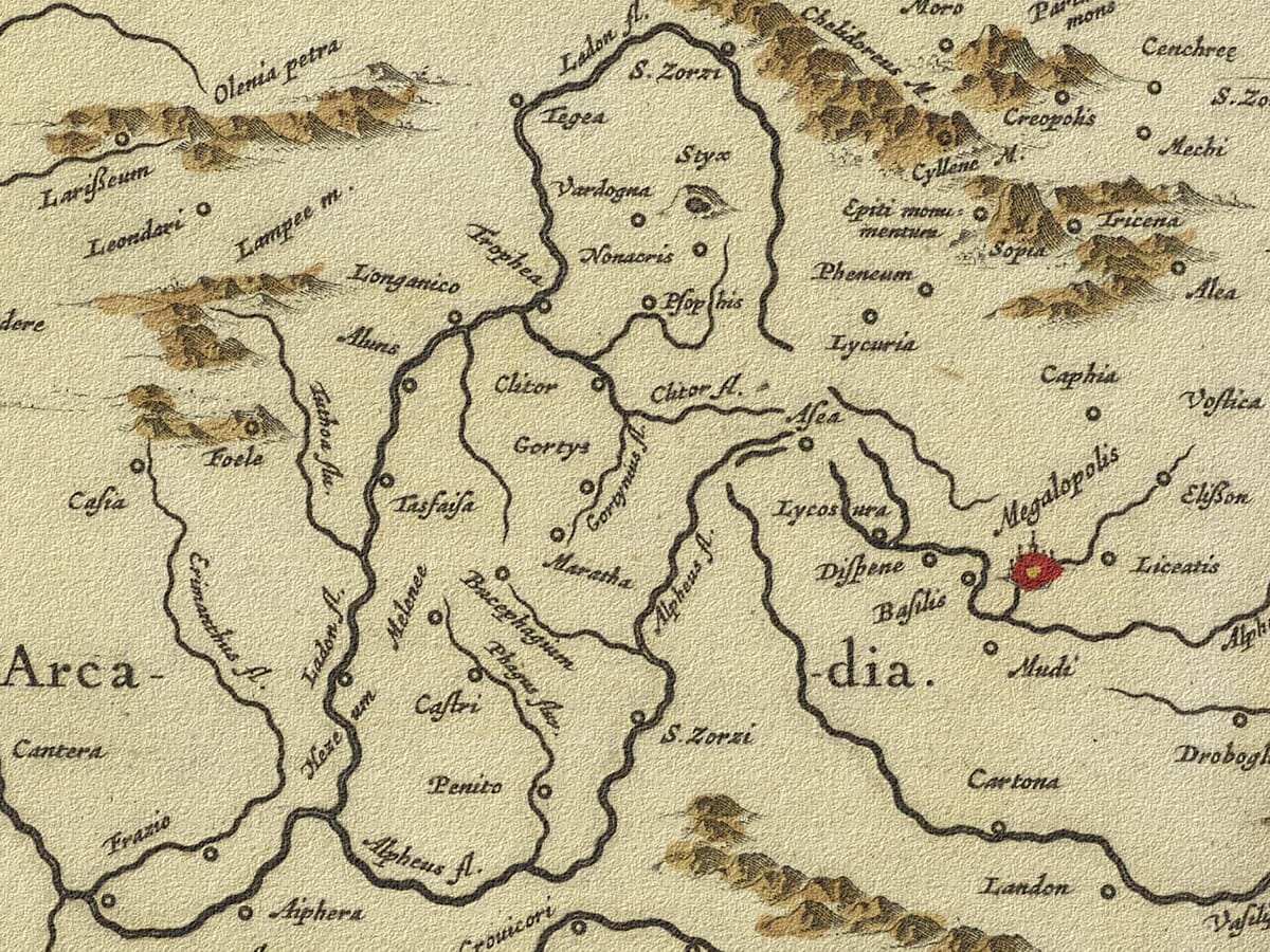
Across the mountainous interior, Arca dia identifies Arcadia. The name is split by the engraved landscape, making the lettering part of the composition rather than a label placed over an empty administrative area. Rivers wind between groups of small hills and settlements, giving the peninsula a strongly textured appearance.
Gulfs, Islands and Maritime Names
Along the northern shore, Golfo de Lepanto marks the gulf now generally called the Gulf of Corinth. On the eastern side, Golfo de Napoli refers to the gulf around Nafplio rather than Naples in Italy. These names reflect the historical vocabulary used around the eastern Mediterranean.
At the south-eastern corner, the island labelled Cerigo is modern Kythira. Its inclusion, together with smaller offshore islands and the mainland coast to the north, places the Peloponnese within a wider network of maritime approaches.
Ships and the Crescent Cartouche
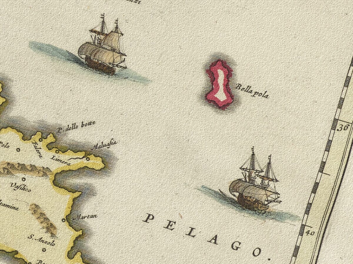
Several sailing ships occupy the open sea, while the title sits inside a coloured ornamental cartouche at the lower left. A crescent above the title is a conspicuous detail of the design. A separate scale panel balances it at the upper left.
The coloured coastline provides a clear boundary around the land without concealing the fine engraving within it. Ships and ornament occupy spaces where the cartographer had little geographical detail to add, making the whole sheet suitable for display as well as consultation.