Joan Blaeu’s Map of Historic Surrey
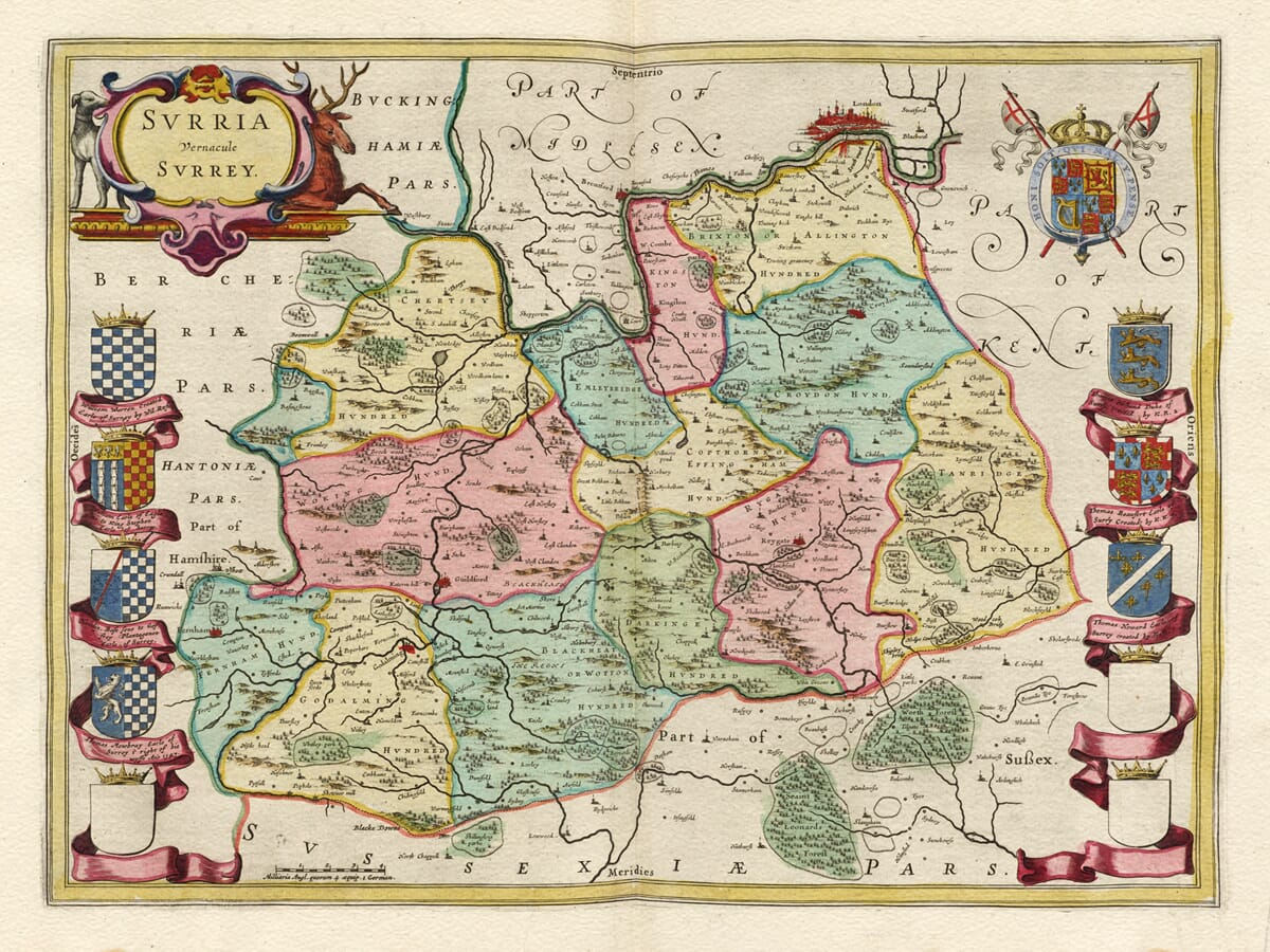
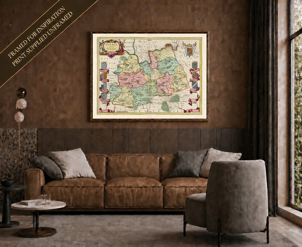
Joan Blaeu’s map of Surrey, entitled Surria Vernacule Surrey, was first published in Amsterdam in 1645. It formed part of the fourth volume of his Theatrum Orbis Terrarum, sive Atlas Novus, which brought together an extensive collection of maps of England and Wales.
The wording of the title identifies Surrey in both Latin and its familiar English form. Although the existing product page attributes the engraving to William Blaeu, William had died in 1638. The Surrey map was produced during the period in which his son Joan directed and expanded the family publishing house.
Under Joan Blaeu, the Amsterdam workshop became renowned for its substantial atlases, fine copperplate engraving and elaborate decorative design. These maps were intended for prosperous collectors across Europe and were valued as much for their appearance as for their geographical information.
Blaeu’s Sources for Surrey
Blaeu did not carry out a new survey of the county. Like many maps in his English series, the geography of Surrey was based principally upon earlier English cartography, especially the work of John Speed and the surveying tradition established by Christopher Saxton.
Blaeu’s workshop re-engraved and refined this inherited material, surrounding it with ornamental cartouches and an impressive display of heraldry. The resulting map has its own distinctive character while retaining much of the geographical structure of its English predecessors.
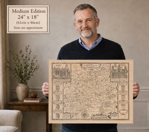
For comparison, our old map of Surrey by John Speed shows the earlier county map upon which Blaeu’s version was largely based.
The first Blaeu edition appeared in 1645, but the copperplate continued to be used in later atlas editions. Surviving original maps may therefore carry Latin, French, Dutch, German or Spanish text on the reverse. The plate was subsequently included in Blaeu’s celebrated Atlas Maior during the 1660s.
Surrey Beside London
Historic Surrey lay immediately south of London. The River Thames formed much of its northern boundary, with Kent to the east, Sussex to the south and Hampshire and Berkshire to the west.
The county shown by Blaeu was substantially larger than the modern administrative county. Areas now incorporated into Greater London—including Croydon, Kingston, Richmond, Southwark and other southern districts—formed part of historic Surrey. The City of London itself lay outside the county, but its dense settlement is included at the upper edge of the map to provide geographical context.
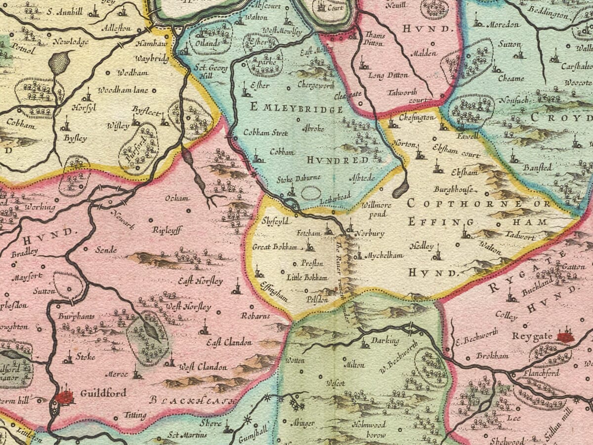
Guildford occupies an important central position. Other recognisable places include Farnham, Godalming, Dorking, Reigate, Leatherhead, Epsom, Kingston, Richmond, Chertsey, Woking and Croydon. Many settlements that are now surrounded by suburban development appear as small, separate communities divided by fields, commons and woodland.
Place names are accompanied by conventional church and building symbols. Their historic spellings sometimes differ from those used today, adding to the interest of exploring familiar Surrey locations through seventeenth-century eyes.
Rivers, Downs and Woodland
The River Thames dominates the northern edge of the map. The Wey flows northwards through Guildford before meeting the Thames near Weybridge, while the Mole passes through the central part of the county towards its confluence near Hampton Court.
In 1645 the Wey had not yet been converted into the navigable waterway familiar from later history. The Wey Navigation opened in 1653, connecting Guildford more effectively with the Thames and London. Blaeu’s map therefore captures the river before this important development in Surrey’s transport and commercial life.
The chalk ridge of the North Downs crosses the county from east to west. Farther south, the landscape approaches the wooded Weald, while heathland and common land characterise parts of western Surrey. Blaeu represents these variations through groups of trees and pictorial hills rather than scientifically measured contours.
Roads are not systematically shown, and distances should not be judged by modern survey standards. Nevertheless, the rivers, settlements and broad arrangement of the landscape make this a compelling historic county map.
Surrey’s Relationship with the Capital
Surrey’s proximity to London strongly influenced its economy. Farms, orchards, gardens and estates supplied the growing capital with food, timber and other produce. The Thames and established routes through Kingston, Southwark, Guildford and Farnham carried goods and travellers between London and southern England.
Wealthy merchants, courtiers and officials increasingly maintained houses or estates in Surrey while retaining connections with the capital. Royal residences at Richmond and neighbouring Hampton Court reinforced the importance of the Thames corridor.
When Blaeu’s map appeared, England was experiencing the First Civil War. Surrey generally remained under Parliamentarian influence, and its roads and river crossings were strategically important because they controlled approaches to London. The engraving was not intended as a military map, however, and records none of the temporary movements of troops or local defences.
Heraldry and Decorative Detail
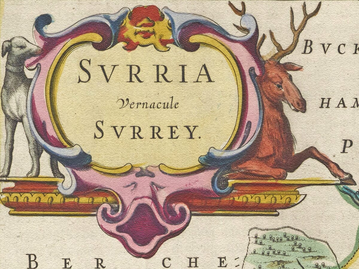
The title appears within an ornamental cartouche accompanied by a stag and hunting dog, imagery well suited to a county historically associated with royal parks, woodland and hunting.
The royal arms occupy a separate cartouche, while seven completed family coats of arms and three blank shields form an extensive heraldic display. Blank shields occur on several of Blaeu’s English county maps and may indicate positions for which the intended arms were never engraved.
These decorative features transform the map from a geographical document into an artwork designed for display and study. Original examples were printed in black ink from a copperplate, with colour subsequently applied to selected impressions.
Blaeu’s map preserves Surrey before railways, modern roads and the outward growth of London transformed much of the historic county. It allows modern viewers to rediscover familiar suburbs and towns as individual communities within a predominantly rural seventeenth-century landscape.





 Verified owner