Joan Blaeu’s Map of Historic Somerset
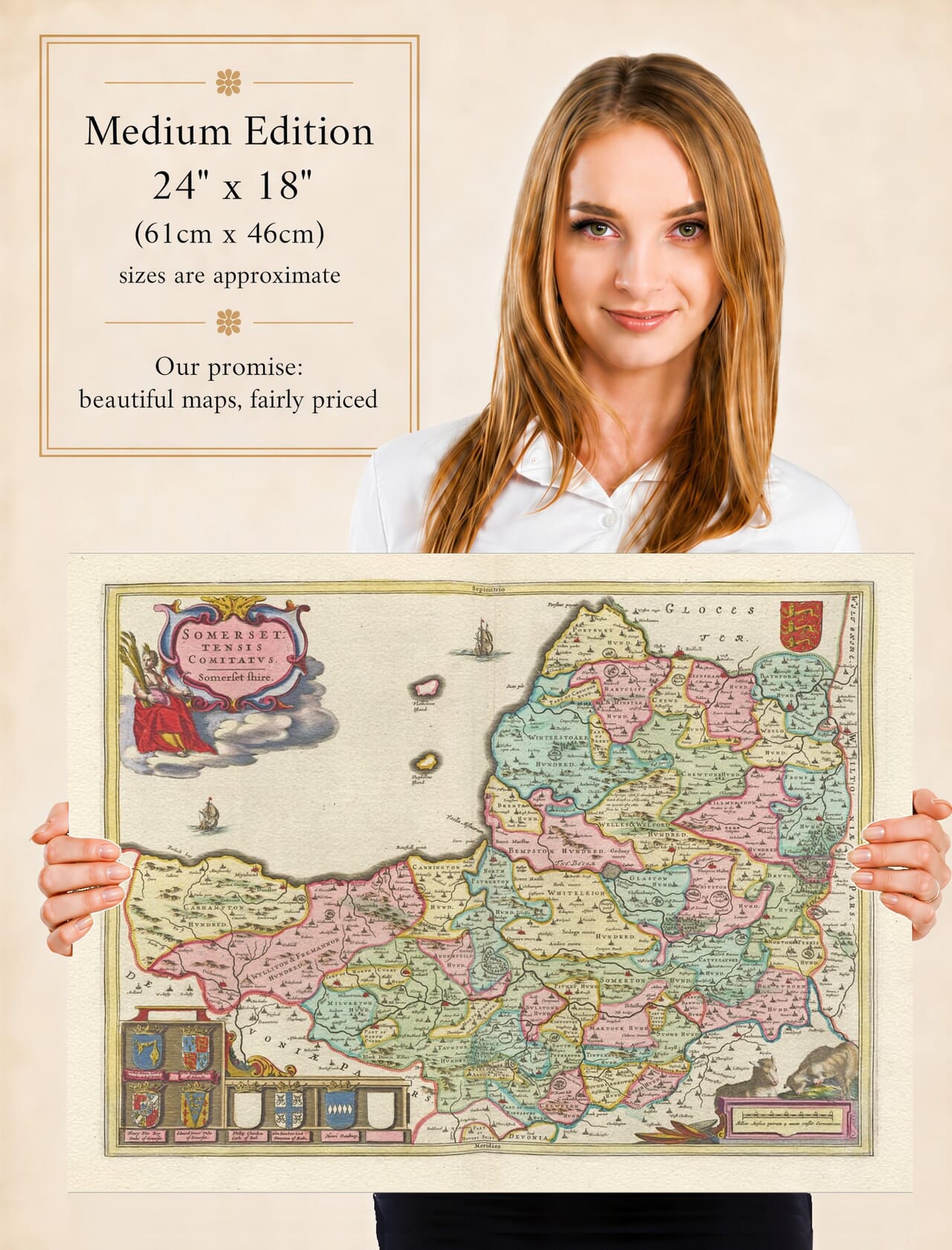
Joan Blaeu’s map of Somerset, entitled Somersettensis Comitatus – Somerset Shire, was first published in Amsterdam in 1645. It appeared in the fourth volume of his Theatrum Orbis Terrarum, sive Atlas Novus, which brought together an extensive collection of maps of England and Wales.
Although the current product description attributes the engraving to William Blaeu, William had died in 1638. The Somerset map was published while his son Joan Blaeu was directing the family’s Amsterdam workshop and should therefore be attributed to Joan.
The copperplate continued to be used in later editions and was eventually incorporated into Blaeu’s monumental Atlas Maior during the 1660s. Surviving original impressions may consequently have Latin, French, Dutch, German or Spanish text printed on the reverse.
From the Bristol Channel to the Southern Hills
Historic Somerset extended from the Bristol Channel coast inland to the borders of Devon, Dorset, Wiltshire and Gloucestershire. Its landscape combined broad marshy levels, fertile valleys, wooded estates, limestone uplands and the higher country of Exmoor.
Blaeu’s map gives particular prominence to the county’s rivers. The River Parrett crosses the central lowlands before reaching Bridgwater Bay, while the Avon flows through Bath towards Bristol. The rivers Tone, Brue, Yeo and their tributaries help define the surrounding settlements and landscape.
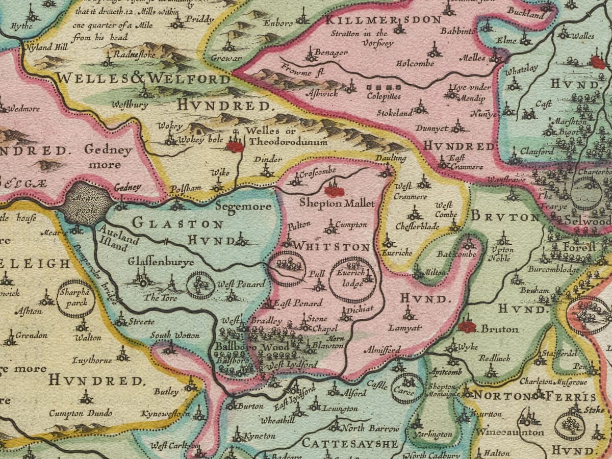
Bath, Wells and Taunton are among the principal places shown. Other recognisable towns include Bridgwater, Glastonbury, Frome, Shepton Mallet, Ilminster, Crewkerne, Yeovil, Chard, Minehead and Watchet. Numerous smaller villages appear through conventional church and building symbols, often accompanied by historic spellings.
Bristol can also be seen at the northeastern edge of the engraving. Although it possessed a separate civic and administrative identity, its geographical and commercial relationship with northern Somerset made it essential context for understanding the county.
Hills, Levels and Rural Somerset
Somerset’s contrasting landscapes are conveyed pictorially rather than through modern measured contours. The Mendip Hills rise north of Wells, while the Quantocks and the higher ground towards Exmoor shape the western part of the county. Groups of engraved trees suggest woodland, and shaded hill symbols provide a general impression of relief.
The Somerset Levels appear as an extensive low-lying country crossed by rivers and drainage channels. Centuries of embanking, drainage and reclamation had already altered parts of this landscape by Blaeu’s time, but the comprehensive systems and pumping arrangements of later periods still lay far in the future.
Agriculture was fundamental to Somerset’s economy. Pasture, livestock, dairying, orchards and arable farming supported its towns and villages, while wool and cloth production contributed to the prosperity of several communities. The sheep incorporated into the map’s decoration provide a fitting emblem of this rural economy.
Coastal towns and river ports connected Somerset with South Wales, Bristol and the wider Bristol Channel. Two sailing ships engraved offshore reinforce this maritime setting, while also balancing the map’s elaborate landward ornament.
The map was not intended to function like a modern road atlas. Roads are not systematically represented, distances are approximate and settlements are distinguished by conventional pictorial signs. Its value lies in its combination of inherited geographical information, historic place names and seventeenth-century artistic presentation.
Somerset in the Civil War
The year 1645 was exceptionally significant in Somerset. Much of southwest England had become a Royalist stronghold during the First English Civil War, while Taunton remained an important Parliamentarian position and endured repeated siege.
Following Parliament’s decisive victory at Naseby in June 1645, Sir Thomas Fairfax led the New Model Army into the West Country. On 10 July his forces defeated the Royalist army commanded by Lord Goring at the Battle of Langport.
The Royalist defeat opened the route towards Bridgwater, which was subsequently besieged and captured by Fairfax’s army. Other fortified positions, including Nunney Castle, were also taken as Parliament gained control of the county.
Blaeu’s engraving does not document these military events. It was conceived as a geographical and decorative county map rather than an account of the war. Nevertheless, Langport, Taunton, Bridgwater and the river crossings shown upon it became strategically important during the very year of its first publication.
The Blaeu Workshop and Earlier Mapping
Joan Blaeu did not personally survey Somerset. Like the other maps in his English county series, its geographical information was based principally upon earlier English cartography, including the surveying tradition of Christopher Saxton and the county maps published by John Speed.
Blaeu’s Amsterdam workshop refined and re-engraved this material, surrounding it with the elaborate decoration expected by the prosperous international audience for his atlases. Fine lettering, carefully balanced symbols and generous use of ornament transformed the inherited geography into a distinctly Blaeu composition.
Cartouches, Ships and Heraldry
The title is enclosed within an ornate figure cartouche, while a separate decorative cartouche contains the scale of English miles. The English arms give the composition an official and ceremonial quality.
A panel of eight heraldic shields includes six family coats of arms and two deliberately blank shields. Such displays connected the county with noble titles, lineage and landownership while adding considerable visual interest.
Three sheep refer to Somerset’s agricultural landscape, and the two sailing ships acknowledge its long Bristol Channel coastline. Together, these features make the Somerset plate a particularly decorative example of Blaeu’s English county cartography.
Blaeu’s map preserves a compelling image of Somerset before railways, industrial expansion and extensive modern development altered its towns and transport routes. It remains both a valuable record of the historic county and a beautifully composed work of Dutch Golden Age mapmaking.





 Verified owner