Henricus Hondius’s Map of the Lower Rhine, c.1630
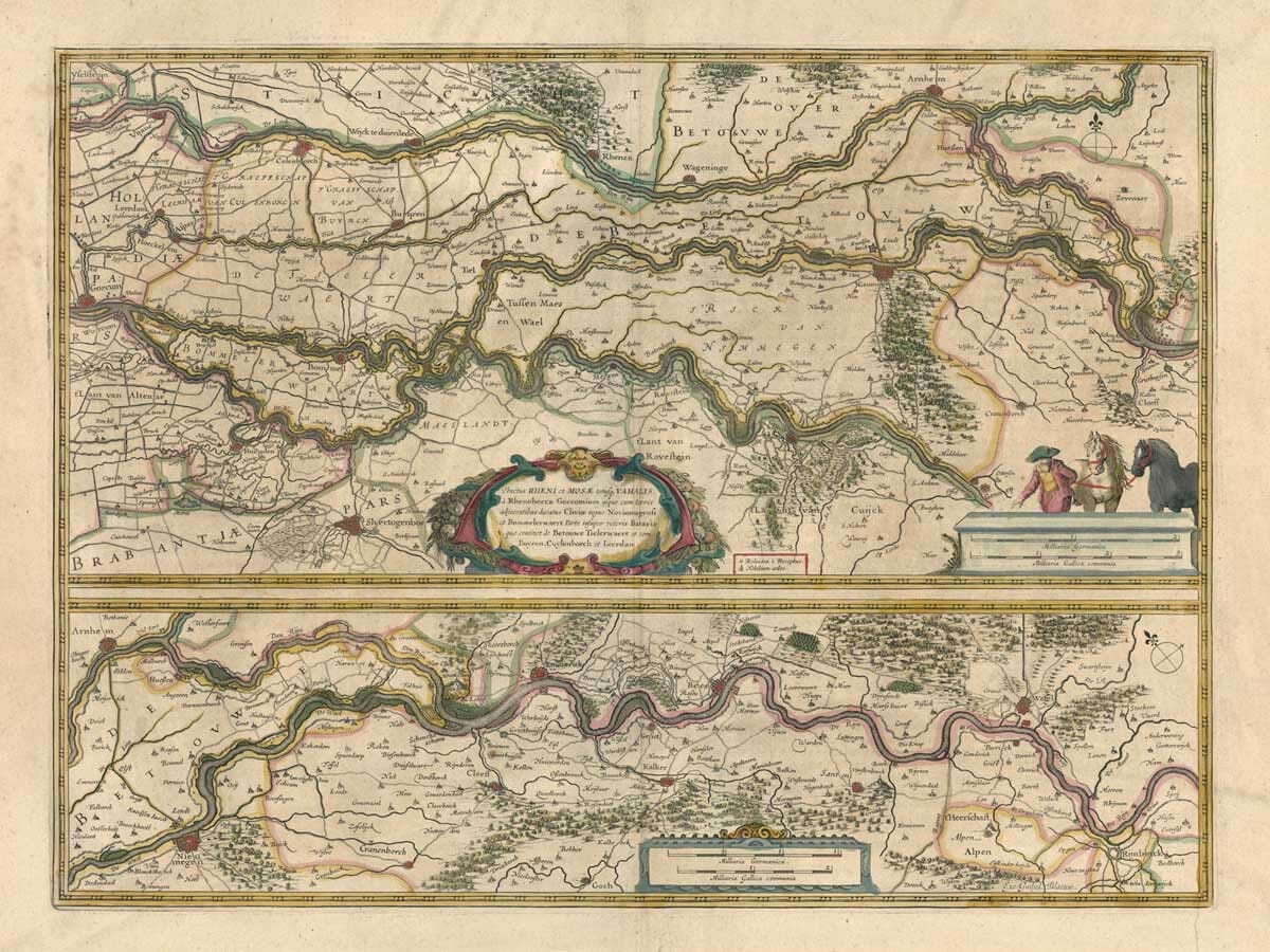
This finely engraved map, commonly known by its Latin title Descriptio fluminum Rheni, Vahalis et Mosae, shows the lower courses of the Rhine, the Waal and the Meuse through the Low Countries and towards the German border. Produced in Amsterdam by Henricus Hondius around 1630, it belongs to the great period of Dutch atlas publishing, when maps of rivers, provinces and trade routes were in strong demand both for practical use and for display.
Map Details
Original title: Descriptio fluminum Rheni, Vahalis et Mosae
Publisher: Henricus Hondius
Date: c.1630
Published in: Amsterdam
Area shown: The lower Rhine, Waal and Meuse river system through the Low Countries and towards Wesel
Subject: River geography, towns, fortified places and waterways
Technique: Copperplate engraving
Notable feature: A detailed focus on the lower Rhine system rather than the whole river from source to sea
A River Map Rather Than a Political Map
What makes this map unusual is that it is organised around the river system itself. Rather than presenting a single nation or province, it follows the waterways that shaped movement, trade and settlement in the region. The Rhine was one of Europe’s great commercial arteries, and by the time this map was published its lower course was vital to the prosperity of the Dutch Republic.
The map is therefore best understood as a geographical study of connected rivers. The Rhine, the Waal and the Meuse are treated together because their channels, branches and neighbouring settlements formed an interdependent network. That river structure is the true subject of the sheet.
The Lower Rhine and the Low Countries
The lower Rhine was of immense importance in the seventeenth century. Goods moving inland from the coast and outward from the German hinterland passed through this watery corridor, while military control of bridges, crossings and fortified towns was equally significant.
The map shows this strategic landscape with remarkable clarity. Instead of a broad continental sweep, the emphasis is on the navigable and inhabited world of the rivers themselves: settlements lining the banks, crossings, junctions and the close relationship between land and water. It is precisely this concentration that gives the map much of its appeal.
Towns, Waterways and River Branches
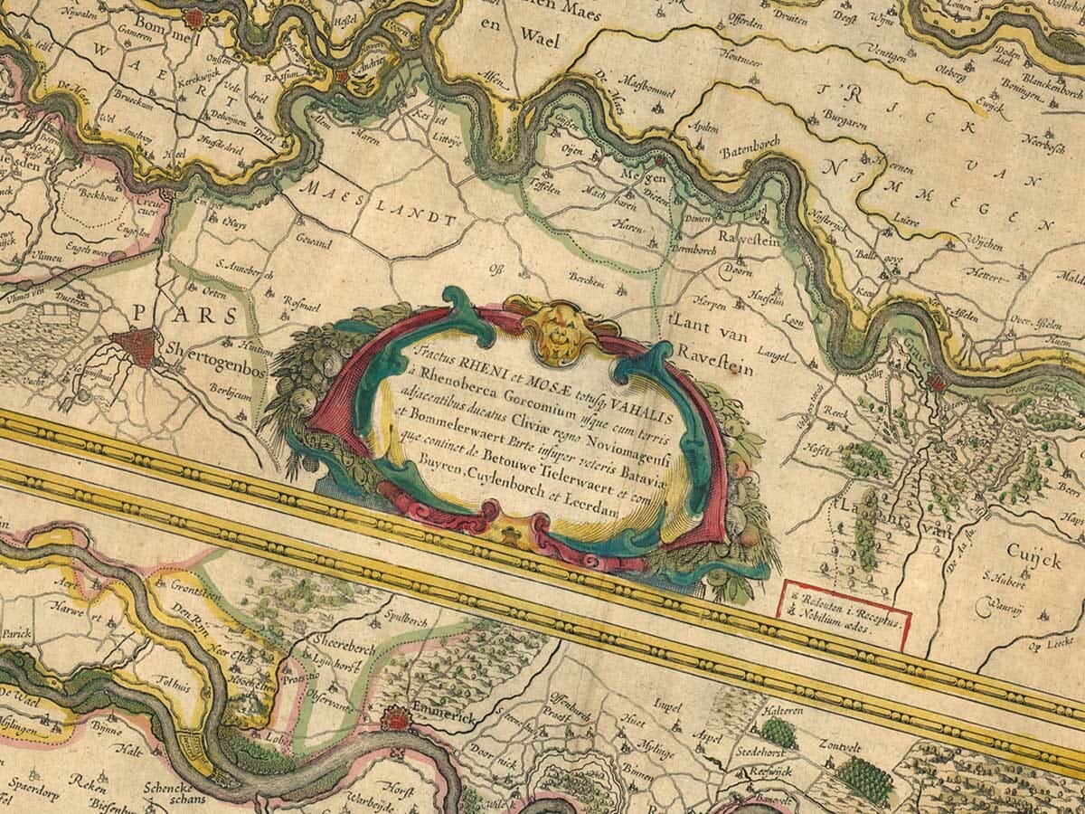
A close look reveals a dense pattern of places strung along the river courses. The region around the branching waterways is especially interesting, as the engraving carefully records how the rivers run near one another and divide across the landscape.
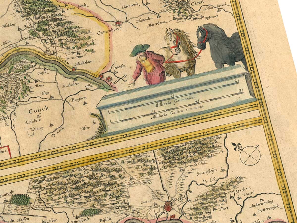
Wesel is among the most recognisable places towards the eastern side of the area shown, while the Dutch river country farther west is filled with towns and smaller settlements whose fortunes were closely tied to waterborne trade. For many buyers, the pleasure of the map lies in tracing these historic places and seeing the lower Rhine as a connected river world rather than as a set of modern national borders.
Henricus Hondius and Dutch Cartography
Henricus Hondius was part of one of the most important publishing families in European cartography. Working in Amsterdam during the Dutch Golden Age, he helped sustain and expand a mapmaking tradition associated with careful engraving, clear geographical presentation and strong commercial appeal.
This River Rhine map fits that tradition well. It is practical in subject, elegant in execution and clearly designed for a readership interested in geography, travel and the structure of European waterways. Its appeal today lies not only in the beauty of the engraving but also in the insight it offers into how rivers shaped the mapmaking imagination of the seventeenth century.
A Historic View of the Rhine Corridor
Modern viewers often think of the Rhine as a single continuous river running from Switzerland to the North Sea. This map offers a different perspective. It invites us to focus on the lower section where the river system spreads, branches and becomes inseparable from the surrounding communities of the Low Countries.
That makes it more than a decorative antique print. It is a historical record of one of Europe’s most important water networks, engraved at a time when commerce, communication and defence all depended heavily on the rivers it depicts.





 Verified owner












