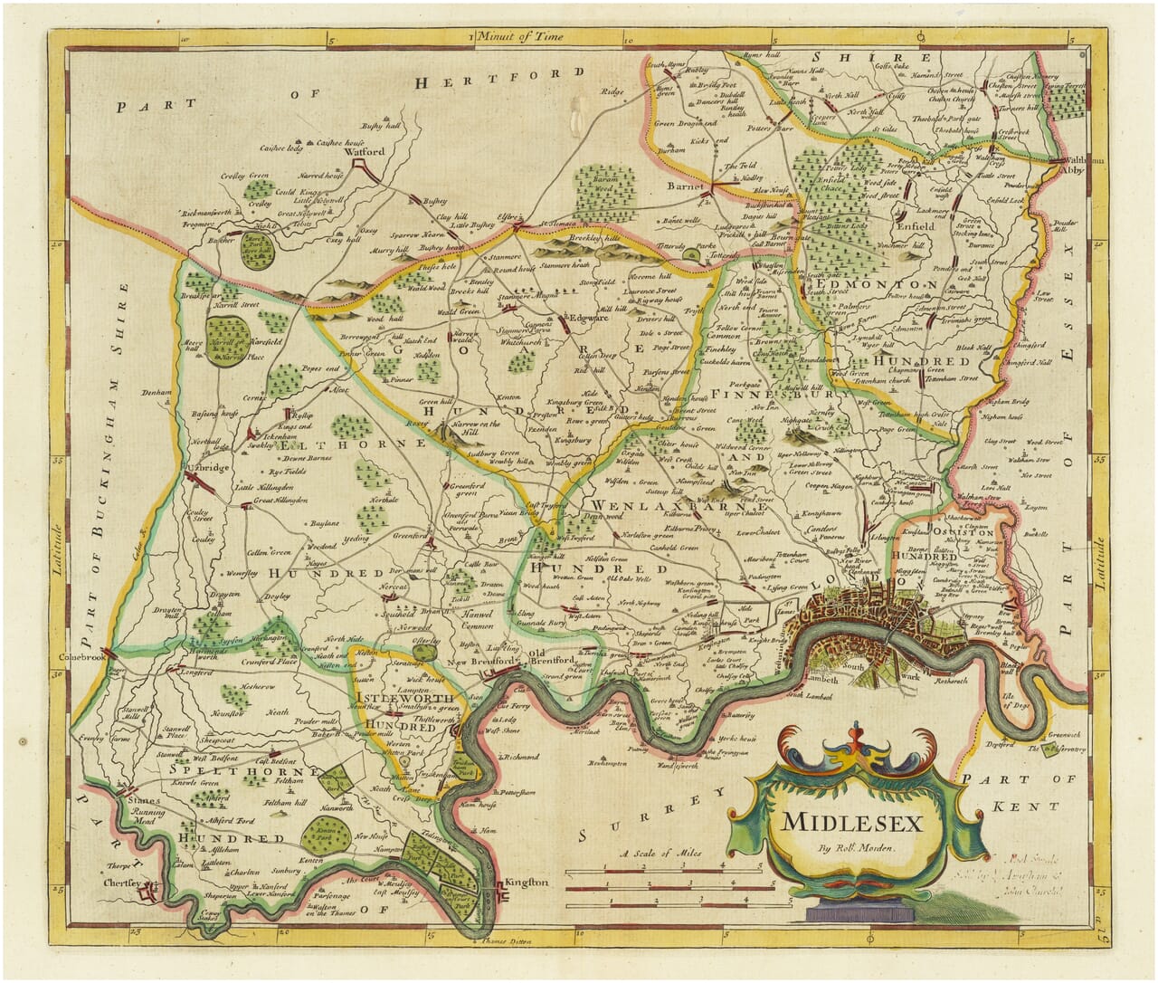
Robert Morden's engraved map of Middlesex, first published in 1695
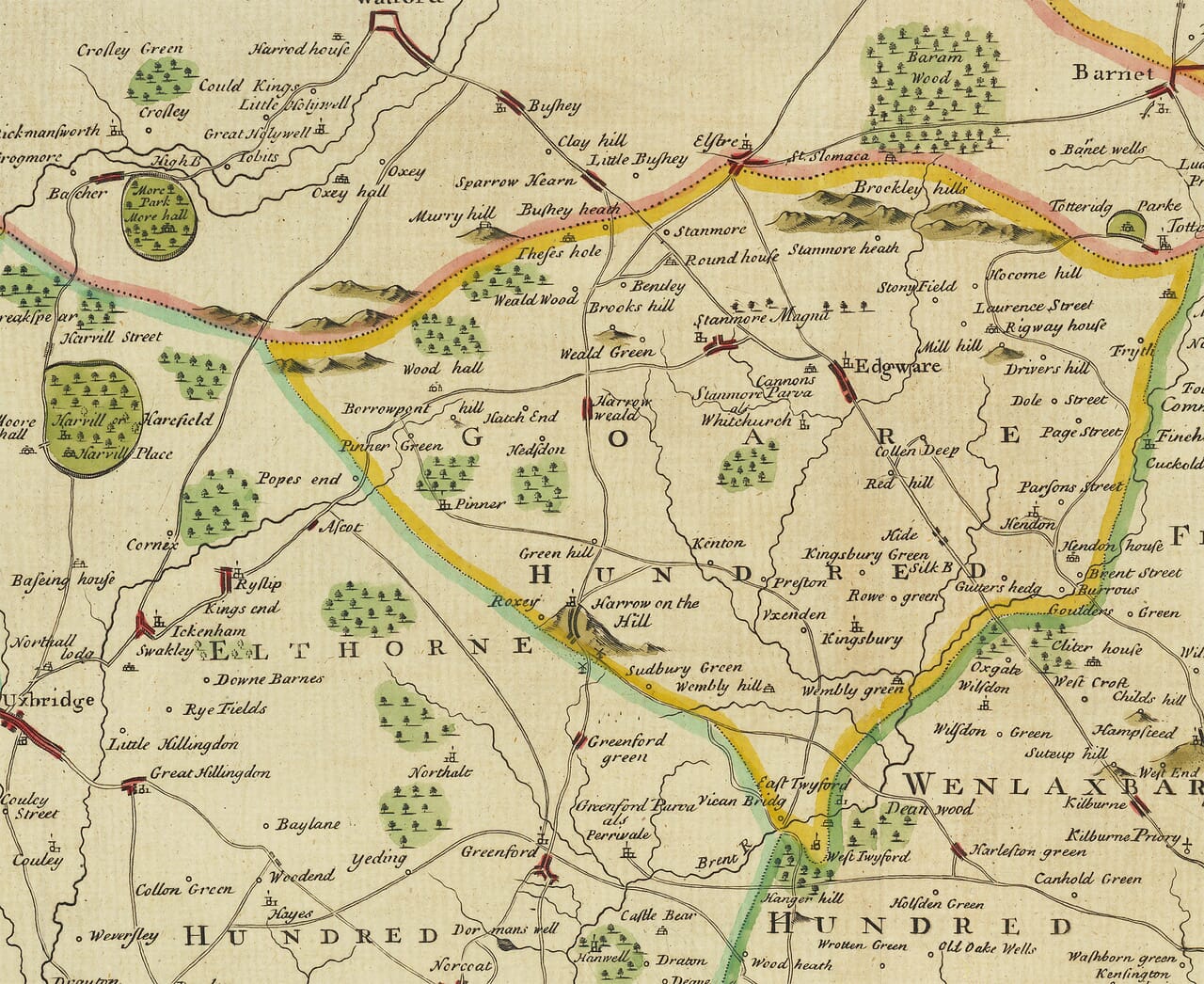
Robert Morden's engraved map of Middlesex, first published in 1695 Enlarged detail of Robert Morden's 1695 map of Middlesex

Old Map of Middlesex by Robert Morden, 1695

Price range: £35.55 through £59.95

Middlesex by Robert Morden, first published 1695

Perhaps no map in this group demonstrates change more dramatically than Middlesex. The London of the 1690s occupies only a corner of an overwhelmingly rural county, and its tightly packed streets contrast with villages, commons, fields and wooded ground elsewhere. This museum-quality giclée reproduction retains the antique map’s original lettering and ornament. Produced on textured fine-art paper with archival pigment inks; supplied unframed.

+ Read more

Size

Size

UK delivery just £4.95 per order · International delivery available.

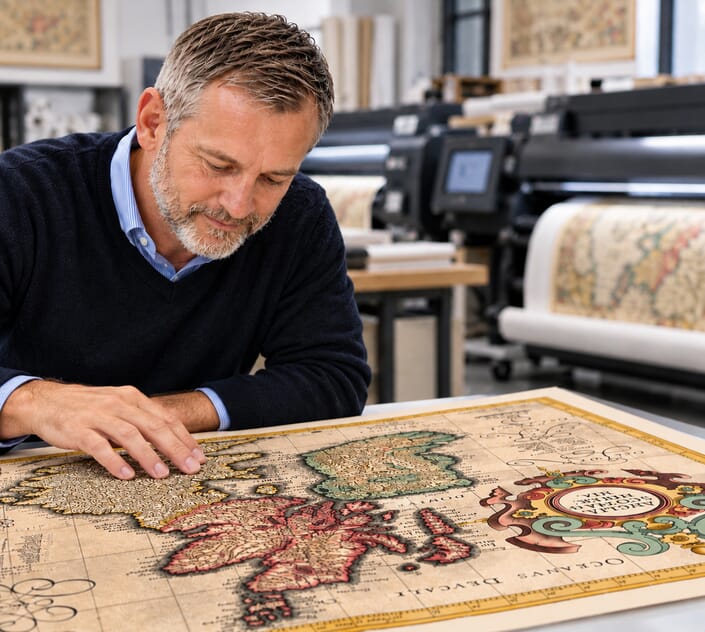
Inspecting Mercator's 1623 old map of Great Britain and Ireland

Fine Art Map Reproductions – Museum-Quality Printing

Unlike most online offerings, our maps are produced entirely in-house, not outsourced to print-on-demand or drop-shipping services. This allows complete control over quality while offering better value. Each map begins with a high-resolution original, carefully enhanced and printed to order using archival papers and pigment inks for exceptional clarity, depth, and longevity. Every piece is personally overseen — no map leaves our workshop unless it is of a quality we would be proud to display ourselves.

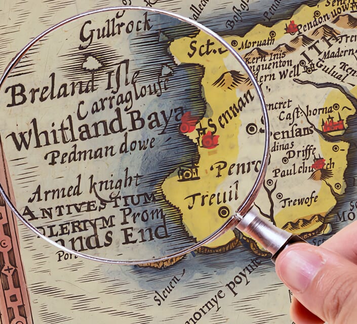
Hand hold a magnifying glass over West Cornwall Map

Authentic Old Map Paper & Accurate Colour Reproduction

Paper choice is essential to the authenticity of our maps. We use specially sourced 190gsm paper made in the UK from pure materials and traditionally pressed with natural woollen felts. This process creates a subtle, randomly textured surface that closely resembles an original antique document. Likewise the use of premium quality ink fully saturates the paper, producing remarkable clarity, depth, and historical character. Colour fastness and sharpness will remain good for in excess of 100 years!

Map in Postal Tube

Buy Old Maps Online in the UK Today Trading online since 1999

The Old Map Company of Great Britain offers a vast and carefully curated collection of the very finest expertly reproduced vintage maps. Our range includes works by renowned cartographers such as John Speed and Willem Blaeu, covering Scotland, England, and beyond. UK delivery is just £4.95 per order, with EU, USA, and worldwide shipping available at cost and calculated at checkout. If you need assistance, our team is always happy to help you choose the perfect map.

RECENT REVIEWS

Daz
DazGB
Verified ownerVerified owner
5/5

Speedy delivery A beautiful representation

4 months ago
David H
David H
Verified ownerVerified owner
5/5

Got there in time and loves it! Cheers David [Gift from US to UK]

6 months ago
Ellan C-S
Ellan C-S
Verified ownerVerified owner
5/5

Thanks Lauren. We received it today - it's gorgeous! Thank you, Ellan

6 months ago
Ivano Di Battista
Ivano Di Battista
Verified ownerVerified owner
5/5

Thank you for your prompt service. I have a gallery and framing business in South Wales. I'm so pleased it is printed in the UK

6 months ago
Robert B
Robert B
Verified ownerVerified owner
5/5

My Isles of Scilly map arrived safely and I'm delighted with it!

6 months ago
Andrew T
Andrew T
Reviewer
5/5

The print arrived safely and we're delighted with it - a lovely reminder of our honeymoon 15 years ago.

7 months ago
Hannah J
Hannah J
Verified ownerVerified owner
5/5

I have just received them! I'm sure our clients will be pleased with them and there could be more projects off the back of this one where we can use more. [Interior Designers]

7 months ago
Sean MacManus
Sean MacManus
Verified ownerVerified owner
5/5

I just received my map of Ireland by Ewart today and, as usual, I am delighted by its quality. The crispness and fineness of detail is excellent and the colour reproduction surpasses my expectations. Please relay my thanks to Steve for another fine effort!

7 months ago
John G
John G
Verified ownerVerified owner
5/5

Many thanks, Lauren. Very pleased with the map and the service: would recommend The Old Map Company to anyone interested in Old Maps.

9 months ago
Lois K
Lois K
Verified ownerVerified owner
5/5

Thrilled , Lauren! Thank You

9 months ago
Ed Simpson
Ed Simpson
Verified ownerVerified owner
5/5

Many thanks, the map arrived safely this morning, and I’m really pleased with it. A stunning reproduction, just as I had hoped. I will keep browsing your website, and may yet be tempted by more of your items! Have a great weekend.

9 months ago
Daniel McCade
Daniel McCade
Verified ownerVerified owner
5/5

Just arrived, wonderful map! Thanks very much!

10 months ago
Jonathon R
Jonathon R
Verified ownerVerified owner
5/5

The map – beautiful – arrived safely, very many thanks.

1 year ago
Rasa Terbetiene
Rasa Terbetiene
Verified ownerVerified owner
5/5

Thank you, I have already found the map. It’s wonderfull! Good luck! Rasa

4 years ago
Mina M.
Mina M.
Verified ownerVerified owner
5/5

My apologies for the very late reply. I wanted to reach out to thank you so much for rushing my order. My partner absolutely loved it. I am amazed with the service so that is a five-star from me. I wish you all the best.

4 years ago

About the map

Perhaps no map in this group demonstrates change more dramatically than Middlesex. The London of the 1690s occupies only a corner of an overwhelmingly rural county, and its tightly packed streets contrast with villages, commons, fields and wooded ground elsewhere.

Map Details

  • Original title: Middlesex
  • Cartographer: Robert Morden (c.1650–1703)
  • First published: 1695, in Edmund Gibson’s edition of William Camden’s Britannia
  • Area: Middlesex
  • Places to locate: London, Westminster, Brentford, Harrow and Enfield

What makes this engraving distinctive?

  • A compact but remarkably intricate engraved plan of London appears beside the Thames at the south-eastern edge of the county.
  • The coloured boundaries divide the county into historic hundreds, with names including Edmonton, Elthorne and Spelthorne.
  • The top border is marked in Minutes of Time; a vividly coloured title cartouche occupies the lower-right corner.

History

The engraving shows the north-western hinterland of the capital before continuous metropolitan development swallowed its villages. Watford lies just beyond the county boundary, while Harrow, Barnet, Enfield and Brentford help the reader orient the northern and western districts. The Thames forms a great curving southern edge. Through the historic hundreds, Morden shows an administrative geography that has almost entirely disappeared from the language of present-day London.

Around the area

Look closely at the miniature London street pattern: it is an unusually rich detail for a county map and draws the eye immediately eastwards along the Thames. Contrast it with the expansive spaces marked as wooded country and commons around Edmonton, Finchley and the western villages. The minutes-of-time border is another distinctive characteristic. It expresses longitude in a way modern readers seldom encounter, relating geographical position to the passage of time. The decorative cartouche at the lower right balances that technical information with bright, curling ornament. Middlesex is thus a revealing document of urban growth, vanished local divisions and the cartographer’s efforts to make measurement intelligible.

Made as a fine-art print: Archival pigment inks on subtly textured paper; supplied unframed and carefully packed. The historic boundaries and spellings reflect the cartographer’s era, not present-day administrative geography.

For the cartographer’s own descriptions of Britain, read our article Robert Morden’s Britain in 1693: The Mapmaker’s Own Words.