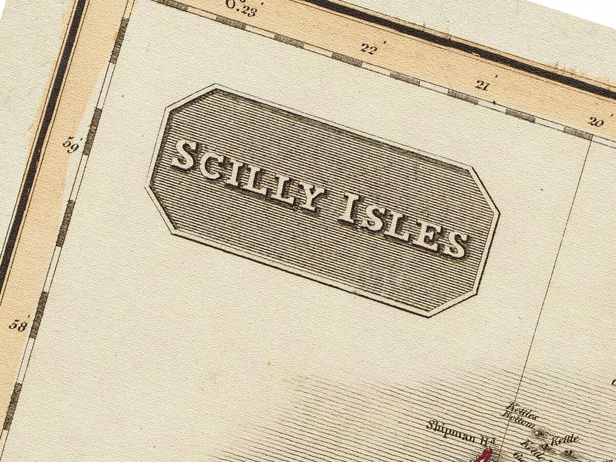
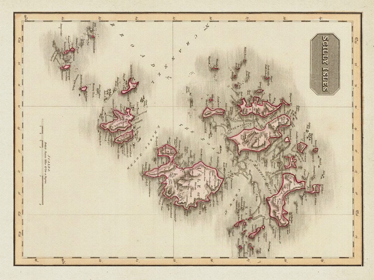
Old map of the Isles of Scilly by John Pinkerton, 1814
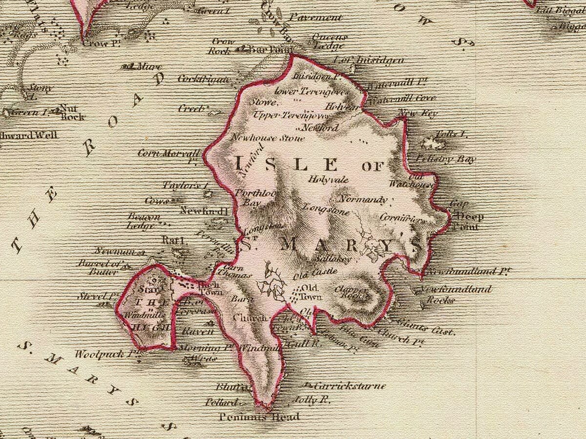
Old map of the Isles of Scilly by John Pinkerton, 1814 Map Isles of Scilly Detail Map Isles of Scilly Detail

Old Map of the Isles of Scilly by John Pinkerton

Price range: £35.55 through £59.95

by John Pinkerton, 1814.

John Pinkerton’s Old Map of the Isles of Scilly, 1814 This beautifully detailed map of the Isles of Scilly was published in 1814 as part of John Pinkerton’s Modern Atlas. It shows the islands individually named, together with the surrounding rocks, shoals and channels that made these waters both fascinating and hazardous to navigate. St Mary’s, Tresco, St Martin’s, Bryher and St Agnes are clearly shown, surrounded by many smaller islands, rocks and maritime features. Of the several Isles of Scilly maps in our collection, this is our preferred edition for its combination of detail, clarity and decorative appeal.
+ read more

A stunning certified FINE ART PRINT on heavy textured art paper — not a poster

  • Direct from the publisher — no middlemen
  • Printed in-house in Cornwall
  • Free UK delivery — international shipping available
  • Produced to meet — and often exceed — museum-quality standards

SELECT SIZE

Inspecting Vintage Map Reproduction

Fine Art Map Reproductions – Museum-Quality Printing

Unlike most online offerings, our maps are produced entirely in-house, not outsourced to print-on-demand or drop-shipping services. This allows complete control over quality while offering better value. Each map begins with a high-resolution original, carefully enhanced and printed to order using archival papers and pigment inks for exceptional clarity, depth, and longevity. Every piece is personally overseen — no map leaves our workshop unless it is of a quality we would be proud to display ourselves.

Hand hold a magnifying glass over West Cornwall Map

Authentic Old Map Paper & Accurate Colour Reproduction

Paper choice is essential to the authenticity of our maps. We use specially sourced 190gsm paper made in the UK from pure materials and traditionally pressed with natural woollen felts. This process creates a subtle, randomly textured surface that closely resembles an original antique document. Likewise the use of premium quality ink fully saturates the paper, producing remarkable clarity, depth, and historical character. Colour fastness and sharpness will remain good for in excess of 100 years!

Map in Postal Tube
Buy Old Maps Online in the UK Today Trading online since 1999

The Old Map Company of Great Britain offers a vast and carefully curated collection of the very finest expertly reproduced vintage maps. Our range includes works by renowned cartographers such as John Speed and Willem Blaeu, covering Scotland, England, and beyond. Free UK courier delivery is included, with EU, USA, and worldwide shipping available at cost and calculated at checkout. If you need assistance, our team is always happy to help you choose the perfect map.

RECENT REVIEWS

Daz
DazGB
Verified ownerVerified owner
5/5

Speedy delivery A beautiful representation

2 months ago
David H
David H
Verified ownerVerified owner
5/5

Got there in time and loves it! Cheers David [Gift from US to UK]

4 months ago
Ellan C-S
Ellan C-S
Verified ownerVerified owner
5/5

Thanks Lauren. We received it today - it's gorgeous! Thank you, Ellan

4 months ago
Ivano Di Battista
Ivano Di Battista
Verified ownerVerified owner
5/5

Thank you for your prompt service. I have a gallery and framing business in South Wales. I'm so pleased it is printed in the UK

4 months ago
Robert B
Robert B
Verified ownerVerified owner
5/5

My Isles of Scilly map arrived safely and I'm delighted with it!

5 months ago
Andrew T
Andrew T
Reviewer
5/5

The print arrived safely and we're delighted with it - a lovely reminder of our honeymoon 15 years ago.

5 months ago
Hannah J
Hannah J
Verified ownerVerified owner
5/5

I have just received them! I'm sure our clients will be pleased with them and there could be more projects off the back of this one where we can use more. [Interior Designers]

5 months ago
Sean MacManus
Sean MacManus
Verified ownerVerified owner
5/5

I just received my map of Ireland by Ewart today and, as usual, I am delighted by its quality. The crispness and fineness of detail is excellent and the colour reproduction surpasses my expectations. Please relay my thanks to Steve for another fine effort!

5 months ago
John G
John G
Verified ownerVerified owner
5/5

Many thanks, Lauren. Very pleased with the map and the service: would recommend The Old Map Company to anyone interested in Old Maps.

7 months ago
Lois K
Lois K
Verified ownerVerified owner
5/5

Thrilled , Lauren! Thank You

7 months ago
Ed Simpson
Ed Simpson
Verified ownerVerified owner
5/5

Many thanks, the map arrived safely this morning, and I’m really pleased with it. A stunning reproduction, just as I had hoped. I will keep browsing your website, and may yet be tempted by more of your items! Have a great weekend.

7 months ago
Daniel McCade
Daniel McCade
Verified ownerVerified owner
5/5

Just arrived, wonderful map! Thanks very much!

8 months ago
Jonathon R
Jonathon R
Verified ownerVerified owner
5/5

The map – beautiful – arrived safely, very many thanks.

1 year ago
Rasa Terbetiene
Rasa Terbetiene
Verified ownerVerified owner
5/5

Thank you, I have already found the map. It’s wonderfull! Good luck! Rasa

4 years ago
Mina M.
Mina M.
Verified ownerVerified owner
5/5

My apologies for the very late reply. I wanted to reach out to thank you so much for rushing my order. My partner absolutely loved it. I am amazed with the service so that is a five-star from me. I wish you all the best.

4 years ago
John Pinkerton’s Map of the Isles of Scilly, 1814 sles of Scilly, 1814This detailed early nineteenth-century map of the Isles of Scilly formed part of a larger plate devoted to the “Remote British Isles” in John Pinkerton’s Modern Atlas. The complete engraved sheet brought together maps of the Scilly Isles, the Shetland Islands, and Jersey and Guernsey. The plate was published in London on 1 June 1814. It was drawn under the direction of John Pinkerton by L. Hebert and engraved by Samuel John Neele, whose address at 352 Strand appears on the original sheet. Map Details Original atlas title: Remote British Isles: Jersey and Guernsey, Scilly Isles and Shetland Islands Atlas: Pinkerton’s Modern Atlas Directed by: John Pinkerton Drawn by: L. Hebert Engraver: Samuel John Neele Published: London, 1 June 1814 Publishers: Cadell & Davies; Longman, Hurst, Rees, Orme & Brown Scilly map scale: approximately 1:57,000 Technique: Copperplate engraving with original hand colouring The Scilly Isles Panel The Isles of Scilly occupy their own substantial section of Pinkerton’s larger Remote British Isles plate. The map concentrates closely on the archipelago rather than treating the islands merely as a small offshore inset to Cornwall. St Mary’s, Tresco, St Martin’s, Bryher and St Agnes can all be identified, together with numerous smaller islands and rocks. The surrounding sea is covered with names and navigational detail, reflecting the complexity of the waters around the archipelago. For anyone familiar with Scilly, much of the interest lies in tracing recognisable islands and coastal features while seeing them through the eyes of an early nineteenth-century mapmaker. A Landscape Shaped by the Sea The Isles of Scilly lie far out into the Atlantic beyond the western tip of Cornwall. Their beauty is matched by a long maritime history shaped by exposed rocks, shoals, narrow passages and changing weather. Pinkerton’s map records this relationship between land and sea particularly well. The islands do not appear as isolated shapes surrounded by empty water. Instead, rocks, channels and maritime hazards form an important part of the engraved landscape. That density of information is one reason this edition remains especially satisfying as a detailed map of the islands. John Pinkerton and the Modern Atlas John Pinkerton was a Scottish antiquarian, historian and geographer whose Modern Atlas brought together maps drawn from what its title described as the “latest and best authorities”. For this plate Pinkerton directed the work rather than engraving it personally. L. Hebert prepared the drawing and Samuel John Neele engraved the finished copperplate. This division of labour was typical of major atlas production. The name of the atlas author or publisher could become the familiar name attached to a map, while skilled draughtsmen and engravers were responsible for turning geographical information into the finished printed sheet. The Remote British Isles The original plate is particularly interesting because Pinkerton grouped the Isles of Scilly with other island communities lying away from the main British mainland. Alongside Scilly appear the Shetland Islands in the far north and the Channel Islands of Jersey and Guernsey in the south. The result is an unusual atlas sheet devoted not to a single county or country, but to geographically separated island groups. Our reproduction concentrates on the Isles of Scilly section, allowing the detail of Pinkerton’s engraving to be appreciated at a much more useful display size. The Isles of Scilly in 1814 Pinkerton’s map predates many later navigational improvements around the islands. Bishop Rock Lighthouse, for example, did not become operational until the middle of the nineteenth century. The map therefore records Scilly at a period when mariners still depended heavily upon charts, local knowledge, visual landmarks and careful navigation through waters notorious for reefs and submerged hazards. Today its role is quite different. What began as geographical information has become an evocative historical record of an island landscape that remains instantly recognisable more than two centuries later.

You may also like…

×
Product added to cart
No products in the cart.