The Border Shire of Hereford in the Golden Age of European Cartography
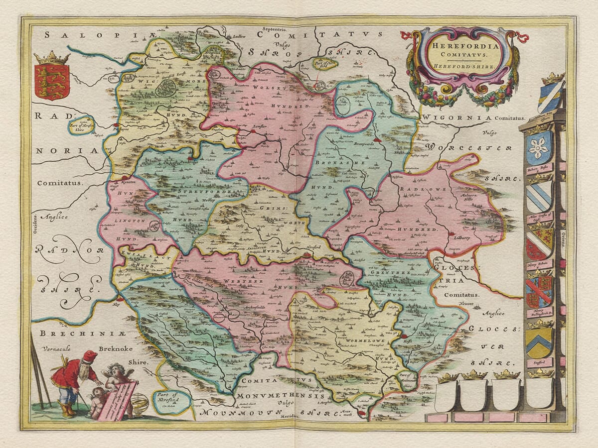
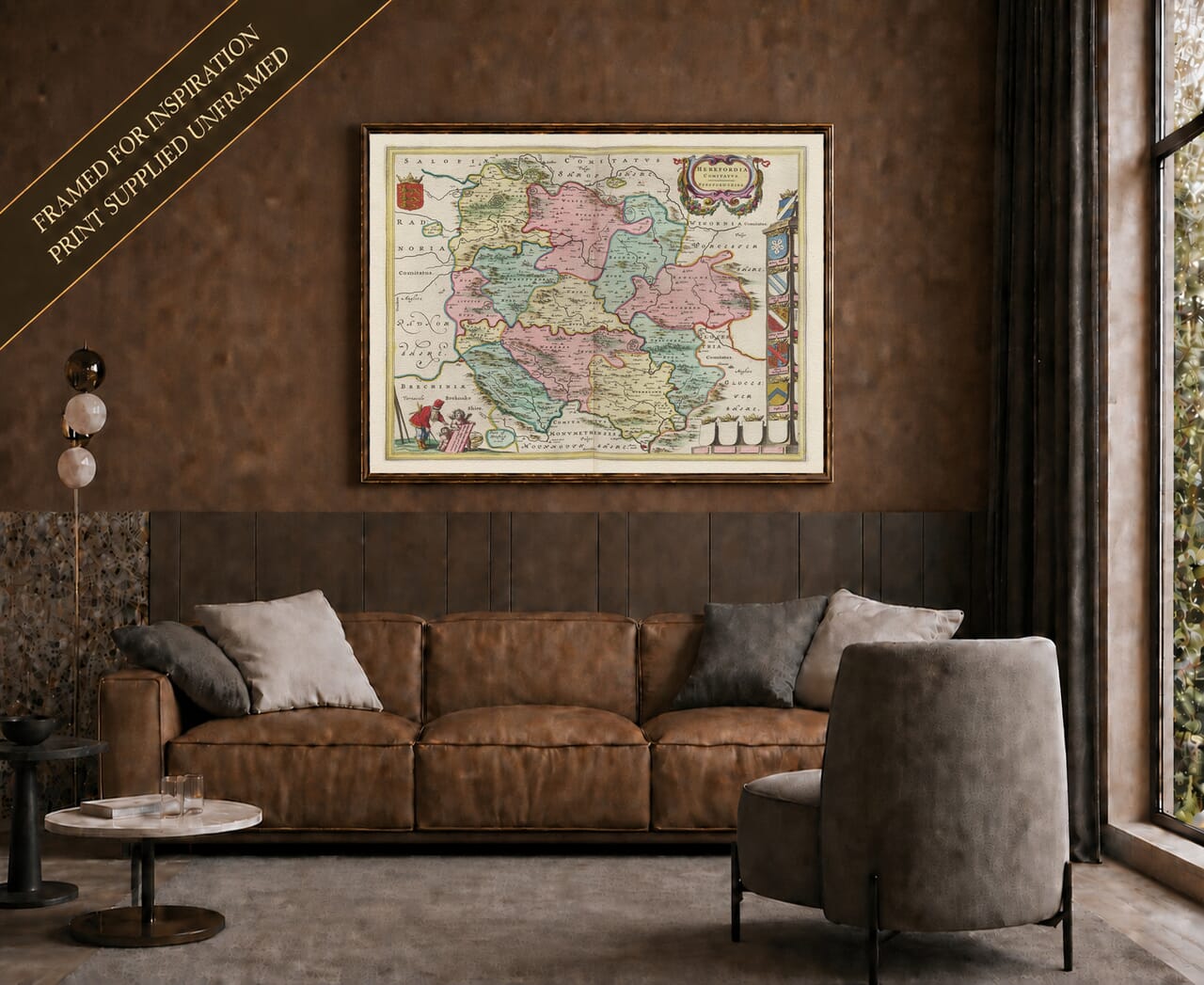
This magnificent 1645 map of Herefordshire stands as an extraordinary monument to the golden age of European cartography, created during a period of intense commercial, intellectual, and artistic competition between the elite printing houses of Amsterdam. Engraved and published by Joan Blaeu for his legendary Atlas Novus, this document represents the absolute pinnacle of copperplate engraving and luxury publishing. While England was internally fractured by the operational chaos and strategic positioning of the First English Civil War—with Herefordshire operating as a heavily contested frontier zone that saw Hereford itself change hands multiple times between Royalist and Parliamentarian forces—continental masters like Blaeu were gathering, refining, and printing highly sophisticated records of the British landscape. These premium maps were far more than simple geographic guides; they were high-status luxury assets commissioned for the private libraries of European monarchs, merchant princes, and the landed gentry who collected fine art as an explicit symbol of worldly authority.
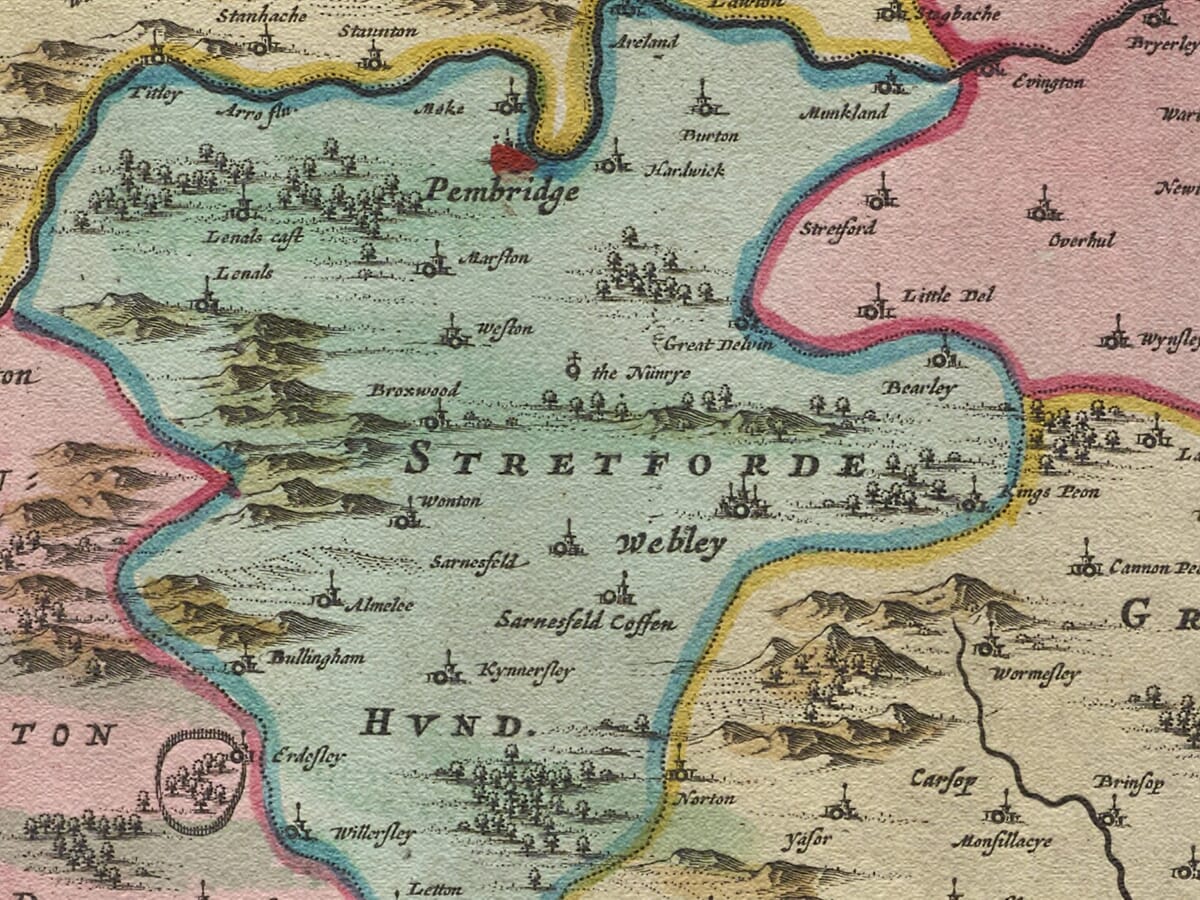
Blaeu’s depiction of Herefordshire brilliantly captures the undulating, landlocked topography that defines this historic border county. Stretching from the dramatic granite ridges of the Malvern Hills in the east to the wild heights of the Black Mountains along the Welsh border in the west, the county’s physical layout is presented with breathtaking clarity. By utilizing advanced copperplate techniques, Blaeu’s studio achieved a precision of linework and depth of visual contrast that allowed for an immense density of local nomenclature without cluttering the paper canvas. Every individual church spire, gated manor estate, cider orchard, and traditional watermill is rendered with its own geographic dignity, preserving a pristine historical record of a Jacobean landscape operating on the absolute cusp of modern agricultural expansion and regional development.
The Ancient Hundreds and the Heritage of the Archenfield Borderlands
A defining feature of Blaeu’s Herefordshire survey is its careful tracking of the county’s ancient administrative divisions, known traditionally as the Hundreds. From Wigmore and Wolphy in the north to Wormelow and the historic semi-autonomous liberty of Archenfield in the south, these ancient boundaries are recorded with great care, allowing modern viewers to understand how the county’s defensive, taxation, and judicial systems were organized centuries ago. The text characters mapping the interior landscapes reveal an agrarian society deeply anchored to its ancient open-field farming systems, wealthy wool-producing pastures, and unique border manor jurisdictions.
The map forms a striking visual landscape around the fertile central plain, famously described even in the Stuart era as rich in ‘the four Ws’—wheat, wool, wood, and water. Blaeu represents the rolling hills and valleys using delicate stylized hill profiles, creating a beautiful tactile texture across the paper canvas. This rich soil was essential to Herefordshire’s wealth, hosting premium livestock, early fruit orchards, and dense timber reserves. Shoppers searching for ancestral roots will find immense satisfaction in identifying the historic market towns and boroughs of the interior, including Leominster, Ross-on-Wye, Ledbury, Bromyard, and Kington. The spelling variations used by Blaeu’s Dutch engravers offer a fascinating blend of local Marcher phonetic pronunciations and classical Latin cartographic style, turning the exploration of smaller hamlets into a rewarding journey of historical deduction.
Strategic Castles, Winding River Networks, and Frontier Strongholds
Given its historical reality as a frontier march, the military and river infrastructure of Herefordshire receives magnificent emphasis on this print. Blaeu’s engravers decorated the interior with numerous fortified symbols, highlighting the county’s absolute reliance on defensive strongholds and natural river barriers to guard against cross-border incursions. The intricate lines of the watercourses track the vital river valleys that shaped Western English history.
The undisputed administrative and architectural heart of the map is the historic city of Hereford. Blaeu’s rendering pays magnificent tribute to the ancient walled borough, showcasing the grand cathedral structure and the strategic river crossings over the River Wye that made it a prize of immense tactical value during the 1640s conflicts. Moving through the landscape, the map traces the spectacular, looping path of the River Wye and its major tributaries, the River Lugg and the River Arrow. Along these banks sit the imposing silhouettes of historic border bastions, including the ruins or active garrisons of Wigmore Castle, Goodrich Castle, and Brampton Bryan Castle—the latter enduring a legendary siege during the Civil War. These waterways and adjacent valley roads served as the primary trade veins that allowed Herefordshire’s premium wool, timber, and cider to flow down toward the wider markets of the Bristol Channel shires.
The Artistic Anatomy and Heraldic Splendour of the Blaeu Studio
What completely elevates this Joan Blaeu print from a regional geographic survey into a stunning work of gallery art is the magnificent arrangement of decorative and heraldic elements that frame the map. The upper portion of the canvas is adorned with beautifully rendered, high-contrast heraldic crests representing the premium noble titles connected directly to the land. The royal arms of the House of Stuart sit proudly at the top, balanced by the exquisite armorial shields of the historic Earldoms of Hereford and the local aristocratic dynasties that held sway over the Marcher estates. These armorial features were meticulously researched by the Amsterdam workshop to ensure absolute accuracy, serving as both a mark of historical validation and a brilliant marketing masterstroke to secure wealthy British patronage.
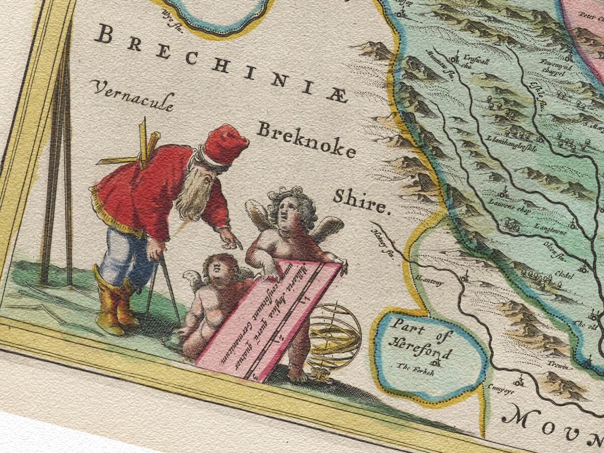
The lower margins are anchored by a highly sophisticated neoclassical title cartouche. This architectural frame is flanked by beautifully drawn figures that personify the rural wealth, orchard abundance, and border heritage of the Herefordshire people. Shepherds tending to the county’s famous ‘Ryeland’ sheep stand alongside symbols of agricultural harvest, visually celebrating the economic balance of the county. The scale of miles is nestled within its own dedicated plinth, complete with playful cherubs utilizing brass dividers and surveying chains to ground the artwork in the scientific precision of the age. By keeping all text elements separate from the background graphic layer, this print retains its status as a clean, searchable historical document while delivering the deep visual contrast of a traditional copperplate impression.





 Verified owner