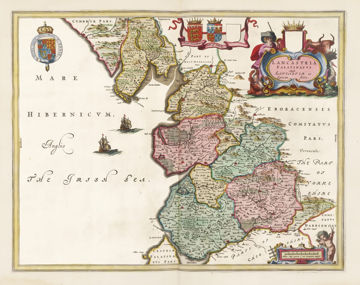
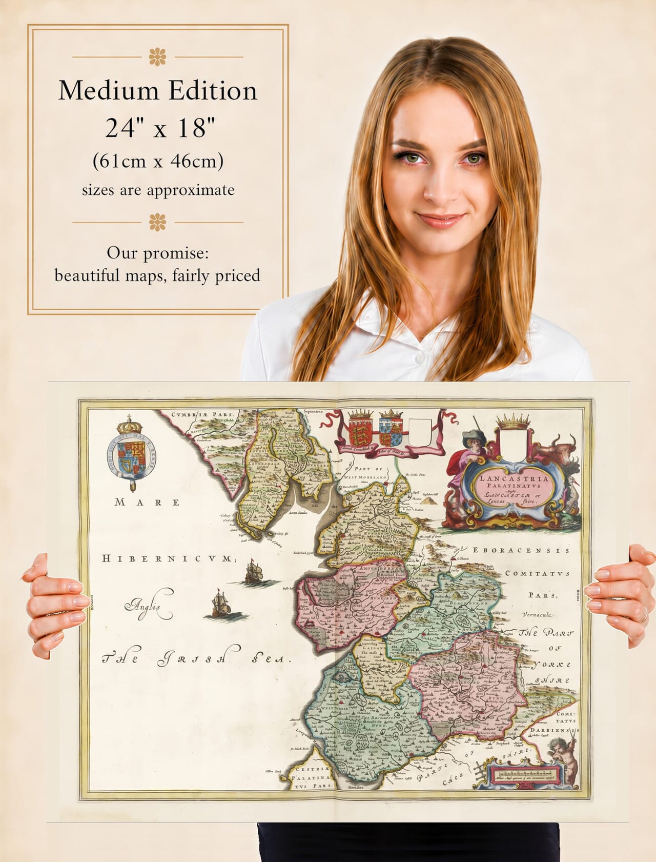
Joan Blaeu’s map of Lancashire was first published in Amsterdam in 1645 as part of the fourth volume of his Theatrum Orbis Terrarum, sive Atlas Novus. This volume brought together a comprehensive collection of maps of England and Wales and formed an important stage in the development of Blaeu’s celebrated atlases.
The map’s engraved title is Lancastria Palatinatus Anglis Lancaster et Lancas Shire. This may be translated approximately as “The Palatinate of Lancaster, called by the English Lancaster and Lancashire.” The wording acknowledges Lancashire’s distinctive status as a county palatine rather than simply identifying it as another English shire.
The Blaeu Workshop in Amsterdam
Joan Blaeu inherited the family mapmaking and publishing business following the death of his father, Willem Blaeu, in 1638. Under Joan’s direction, the Amsterdam workshop became internationally renowned for the quality of its engraving, printing, colouring and decorative design.
Blaeu did not conduct a new survey of Lancashire. Like many maps in his English county series, its geographical information was derived largely from earlier English cartography, particularly the county maps of John Speed and the surveying tradition established by Christopher Saxton. Blaeu’s workshop refined and re-engraved this inherited information, surrounding it with the elaborate decoration expected by the international buyers of prestigious seventeenth-century atlases.
The first edition appeared in 1645, although the same copperplate was used in later editions. Surviving original examples may consequently have Latin, French, Dutch or German text printed on the reverse and may be dated several years later. The map was eventually included in Blaeu’s much larger Atlas Maior, first issued in the 1660s.
Lancashire Before the Industrial Revolution
The Lancashire shown by Blaeu is the historic county, whose boundaries differed considerably from those familiar today. It extended from the southern settlements around the Mersey and Manchester northwards through Preston and Lancaster to Morecambe Bay. It also included Furness and other territory north of the sands that is now administered as part of Cumbria.
Modern Merseyside and much of Greater Manchester therefore appear within the Lancashire depicted on the map. Liverpool and Manchester are both recorded, but neither yet dominates the surrounding landscape. Their later growth into internationally important centres of trade, manufacturing and industry still lay far in the future.
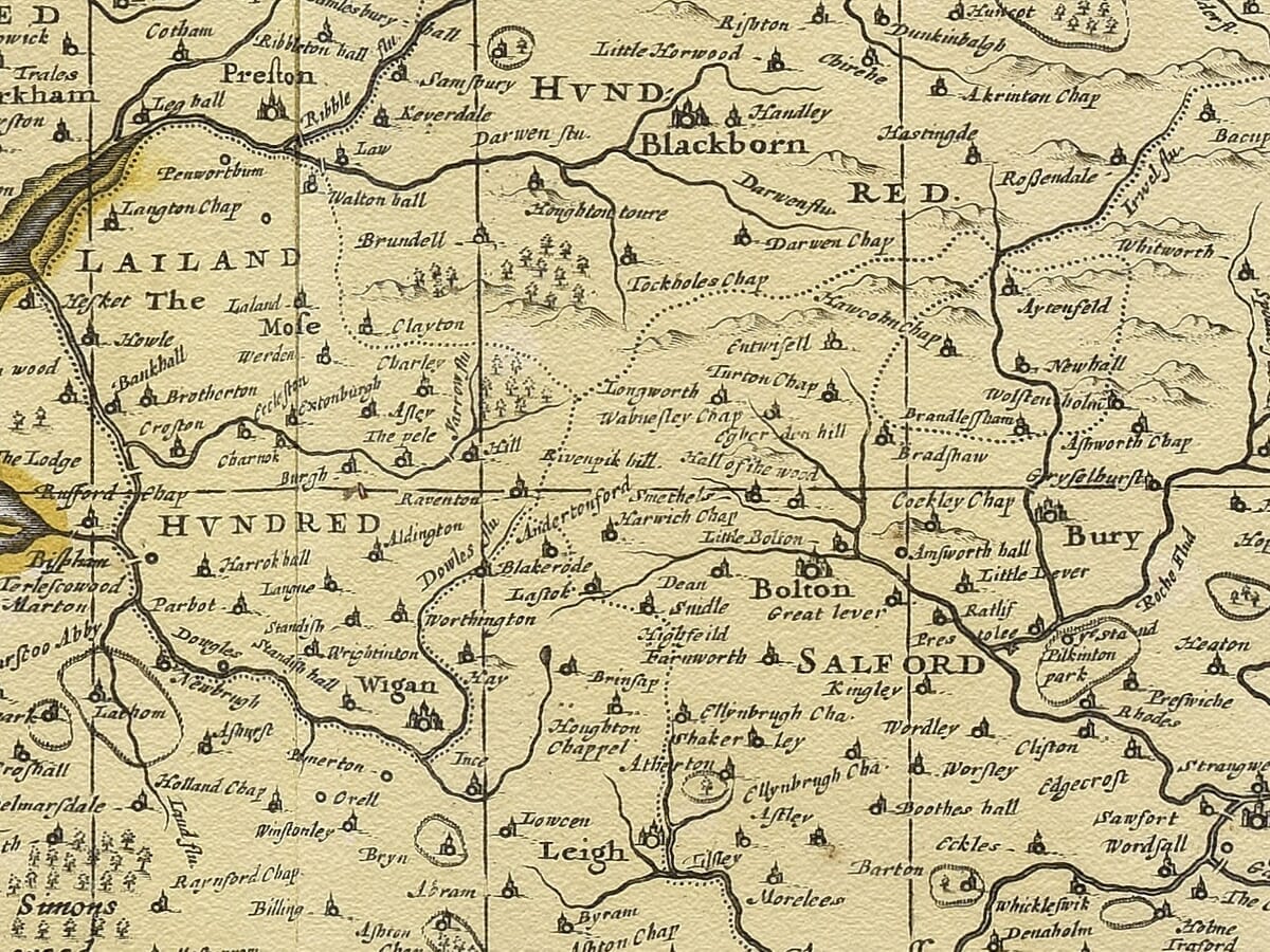
Lancaster appears as the county town, while Preston, Wigan, Bolton, Blackburn, Rochdale and numerous smaller settlements can also be located. Rivers including the Mersey, Ribble, Wyre and Lune help structure the county, while Morecambe Bay and the irregular Irish Sea coastline provide some of its most distinctive geographical features.
The map should not be interpreted as a modern measured survey. Settlements are shown through conventional symbols, while hills and woodland are represented pictorially. Roads are not systematically recorded, and relative distances and landforms do not always conform to modern mapping. Nevertheless, it provides an absorbing record of how Lancashire was understood and presented during the middle of the seventeenth century.
Why Lancashire Was a County Palatine
Lancashire’s palatine status originated in the Middle Ages. Edward III elevated Lancashire to a county palatine in the fourteenth century, granting the Duke of Lancaster extensive administrative and judicial authority within the county. The title and its associated estates later became connected permanently with the Crown.
The word Palatinatus in Blaeu’s title was therefore significant. It identified Lancashire as a territory with a special constitutional history and institutions operating in the name of the Duke of Lancaster. The historic County Palatine encompassed a much wider region than the present administrative county, stretching from areas now associated with South Lakeland to Merseyside, Manchester and Warrington.
When Blaeu’s map appeared in 1645, England was in the final stages of the First Civil War. Lancashire had experienced serious conflict between Royalist and Parliamentarian forces, but this is not a military map and it does not attempt to document campaigns or fortifications. Instead, it presents an enduring image of the county’s towns, rivers, coast and historic identity.
Cartouches, Heraldry and Maritime Decoration
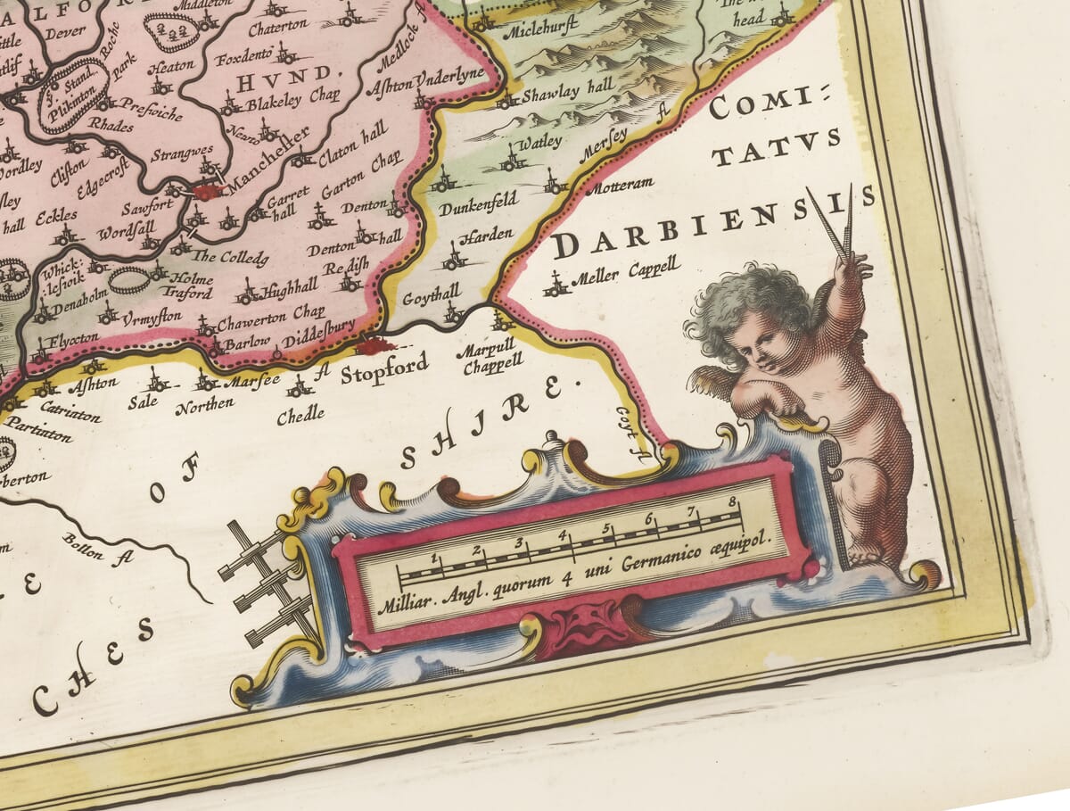
The geographical engraving is complemented by carefully arranged decoration. The title appears within a rural cartouche showing a farmer with animals, an appropriate reference to the predominantly agricultural economy of seventeenth-century Lancashire. A separate scale cartouche is attended by putti.
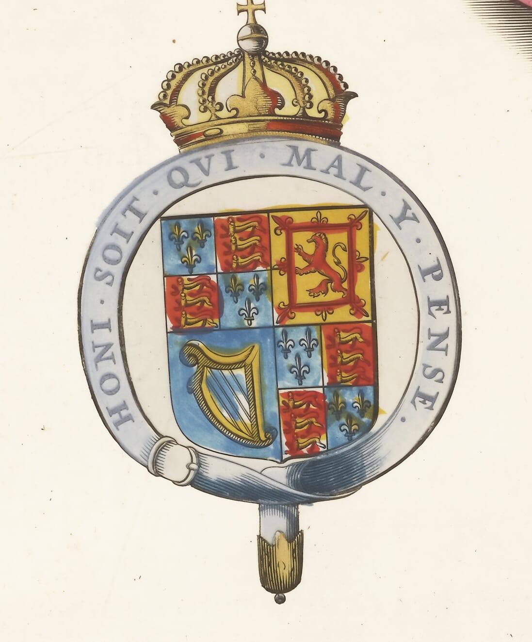
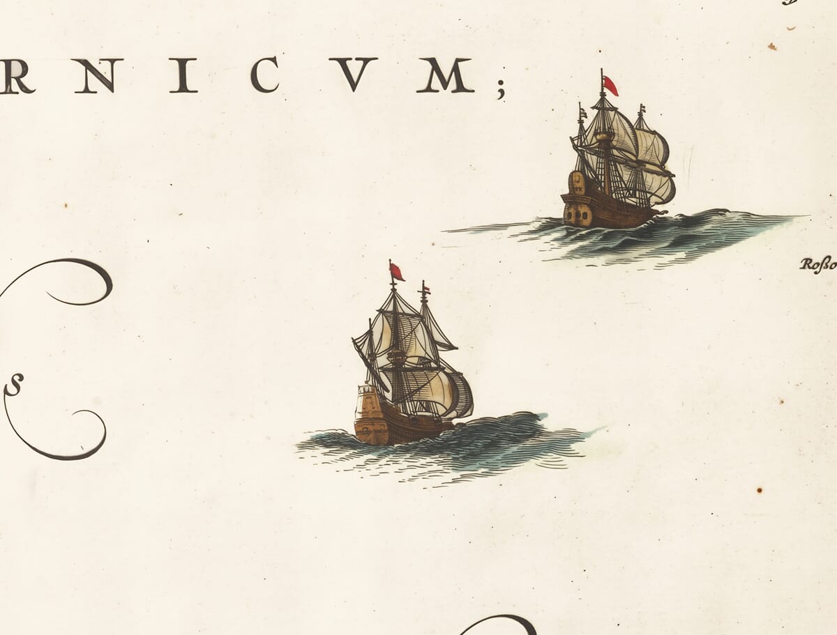
The Royal Arms and two additional coats of arms give the composition a ceremonial character, while two sailing ships animate the waters of the Irish Sea. These ships should be understood principally as decorative features, although they also acknowledge Lancashire’s western coastline and maritime connections.
Original examples were printed from the copperplate in black ink, with colour added separately to some copies. The appearance of surviving maps can therefore vary according to their edition and colouring. More information about this process can be found in our article on the colouring of old maps.
Blaeu’s map captures Lancashire before canals, railways and industrial cities reshaped the county. It is both a valuable historical record and a fine example of the decorative cartography produced in Amsterdam during the Dutch Golden Age.





 Verified owner












