This collection brings together old maps of Wales at national, regional and historic-county scales.
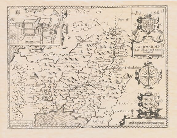
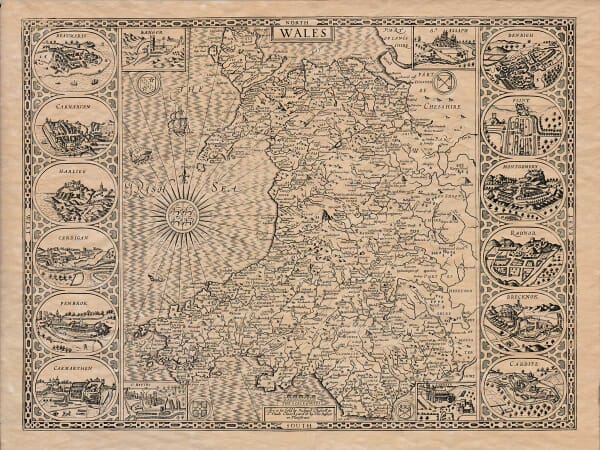
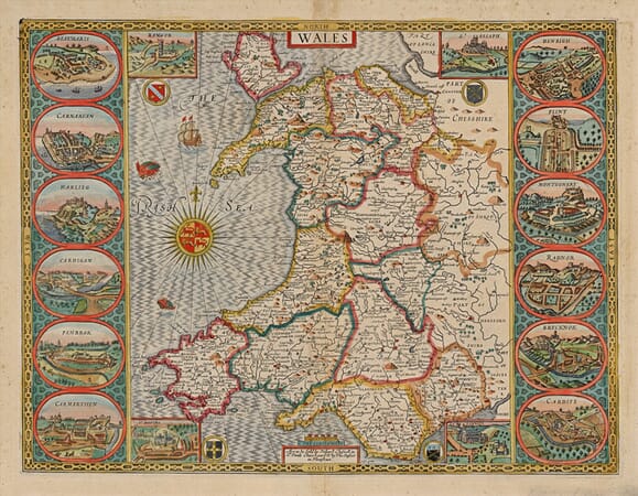
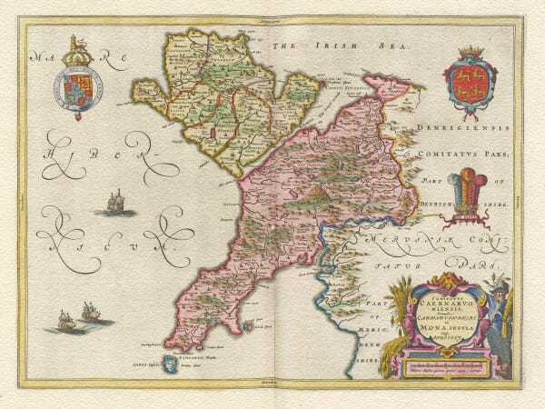
It includes maps by John Speed, Joan Blaeu and later cartographers, recording Welsh towns, villages, rivers, mountains, coastlines and former county boundaries. From Anglesey and Caernarvonshire to Cardiganshire, Glamorgan and Pembrokeshire, the maps preserve earlier place names and show how the Welsh landscape was represented across several centuries.
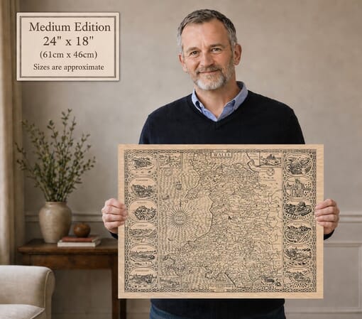
Each map is reproduced from a historic original, retaining the engraved detail, colour and individual character of the source.
A Country Recorded County by County
Mountains, Rivers and Coast
The physical character of Wales gives its old maps an immediate identity. Mountain groups crowd the interior, rivers provide natural routes through valleys and the coastline unfolds around broad bays, headlands and islands. Early cartographers represented this terrain through engraved symbols rather than modern contours, yet they conveyed a strong impression of a country shaped by land and water.
The Historic Counties of Wales
County maps bring the viewer closer to the communities within that landscape. Anglesey, Caernarvonshire, Cardiganshire, Glamorgan, Pembrokeshire and the other historic counties appear with former boundaries, towns, villages, estates and castles. These divisions remain significant in local and family history even where modern administration now uses different areas.
Speed, Blaeu and Changing Cartographic Styles
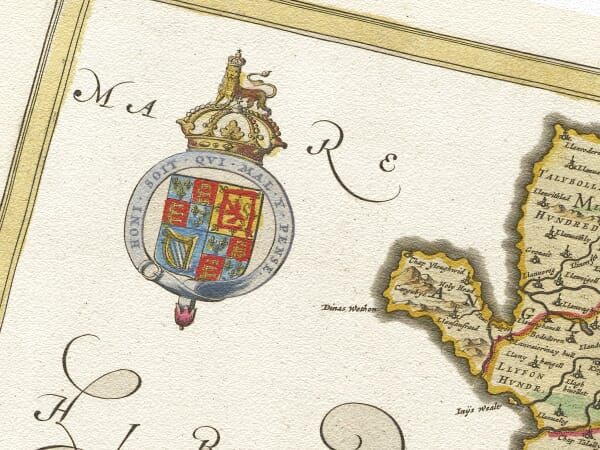
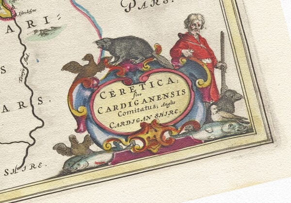
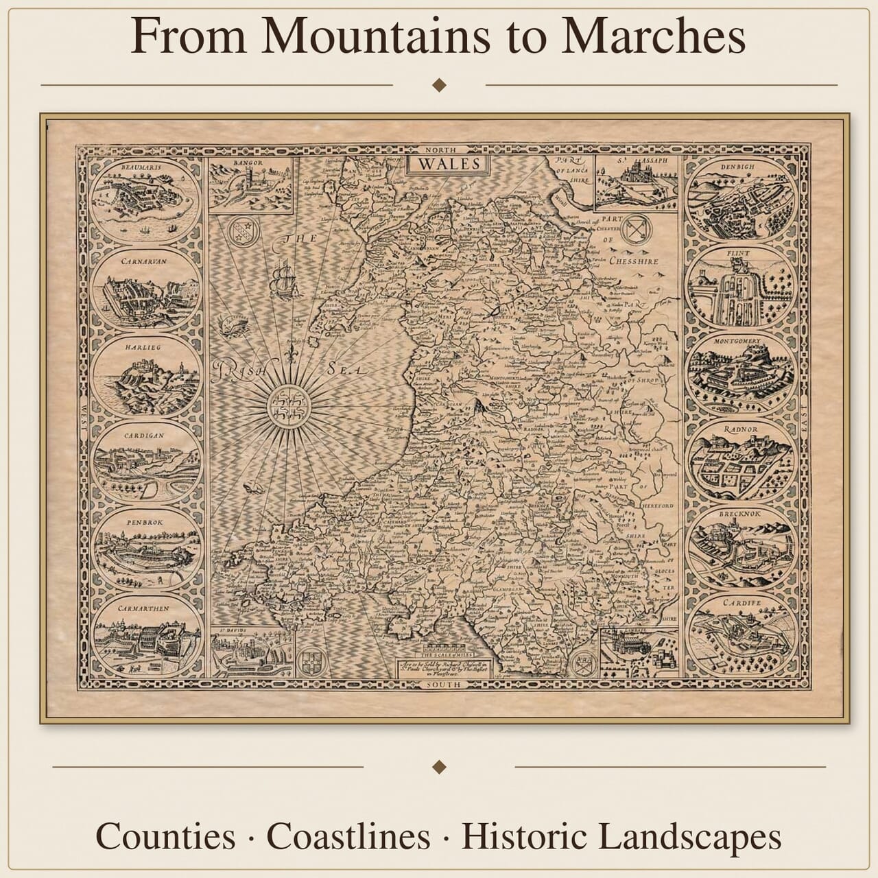
John Speed’s Welsh county maps combine geographical information with coats of arms, decorative engraving and inset plans of important towns. Joan Blaeu’s maps present another seventeenth-century treatment, using coloured boundaries, detailed settlement networks and elaborate cartouches. Later maps place increasing emphasis on roads, measured positions and the practical information produced by more systematic surveying.
Maps for Welsh Local and Family History
Historic county maps can place a settlement, estate, family connection or local tradition within its earlier geographical setting. Place names may appear in older Welsh or English forms, and spellings can vary according to the mapmaker’s sources and the conventions of the publisher. Some communities remain readily recognisable, while others have changed name, expanded or disappeared from later maps.
These maps are most useful as geographical context rather than proof of residence, ownership or ancestry. Read alongside parish registers, census records and other documentary sources, they can help reconstruct the landscape in which Welsh families and communities lived.