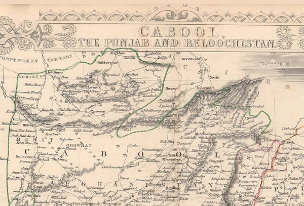
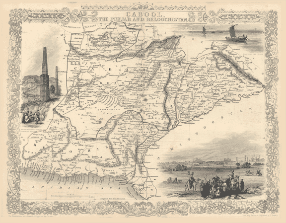
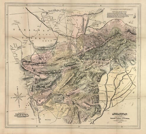
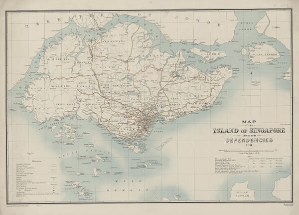
Historic maps of Asia, Australia and the Pacific record a geography assembled over centuries from regional knowledge, maritime charts, diplomatic reports and European voyages. This collection includes maps of India, China, Japan, Persia and South-East Asia, together with Australia, New Zealand, New Guinea and island groups across the Pacific.
Coastlines and sea routes were often mapped before inland regions were understood in European publishing centres. Changing place names, incomplete shorelines and uncertain boundaries show how geographical information was gathered, copied and revised as surveys and voyages supplied new evidence.
Mapping Asia, Australia and the Pacific
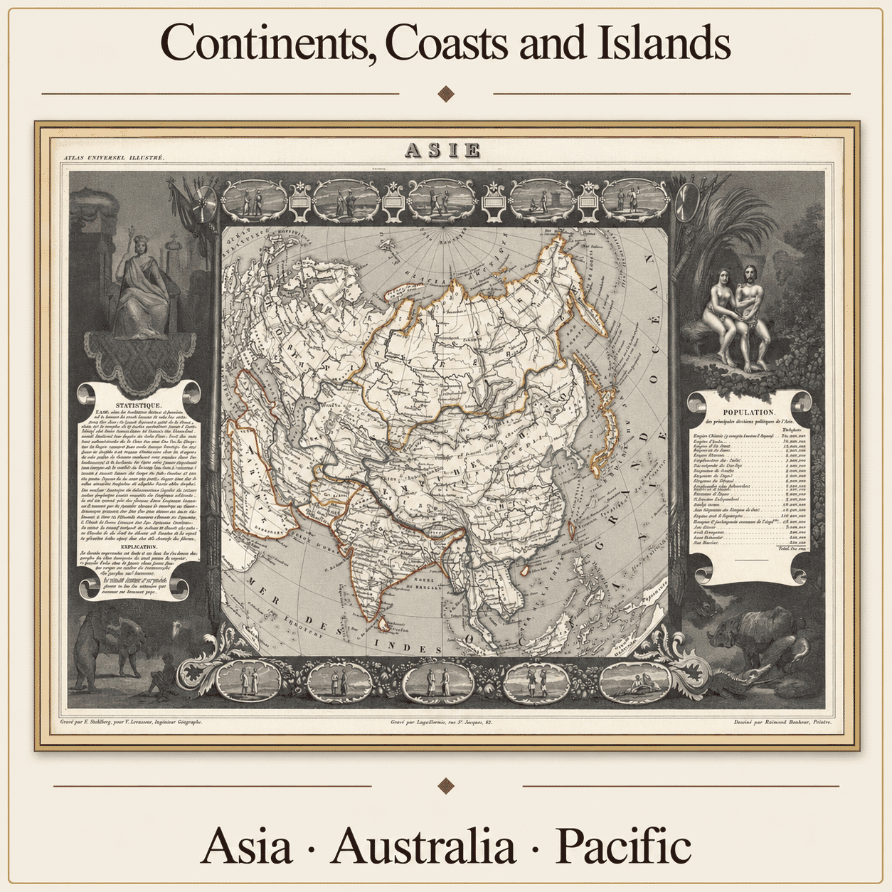
The maps in this collection cover an immense geographical area, from the Ottoman territories, Persia and the Indian subcontinent to China, Japan, Australia, New Zealand and the islands of the Pacific. Some present whole continents, while others concentrate on trading regions, ports, sea passages or individual island groups.
A Geography Assembled in Stages
European mapmakers depended on information obtained from many different sources. Established Asian geographical knowledge sat alongside merchants’ reports, naval charts, diplomatic accounts and the observations of travellers. Publishers frequently combined recent discoveries with details copied from maps produced decades earlier.
Australia provides some of the clearest evidence of this gradual process. Its coastlines changed considerably between editions as Dutch voyages, Abel Tasman’s expeditions and later British and French surveys supplied new information. New Zealand, New Guinea and numerous Pacific islands were also repositioned or redrawn as navigation became more systematic.
Ports, Trade and Maritime Routes
Many maps give more attention to coasts, harbours and navigable waters than to inland geography. This reflects the priorities of the merchants, trading companies and naval powers that commissioned, purchased and used them. The East Indies were particularly important because of European competition for spices and other valuable commodities.
These maps also record the expansion of colonial power. Their boundaries, terminology and choice of detail were shaped by the political and commercial interests of their publishers. They should therefore be read as historical evidence rather than neutral geographical descriptions.
Changing Names and Boundaries
Older maps preserve names and political divisions that may be unfamiliar today. Persia, Tartary, the East Indies and other broad geographical terms could cover areas that are now divided among numerous modern countries. The placement of boundaries was not always consistent, particularly where reliable surveys were unavailable or European knowledge remained limited.
Reading the Decorative Detail
Engraved cartouches, ships, costume figures, statistical panels and allegorical scenes provide additional evidence about the audience for whom a map was made. These elements were not merely decoration: they helped publishers organise information and communicate contemporary European ideas about distant peoples, territories and resources.