Tycho Brahe planetary-distance diagram with nested circles, Latin labels and pastel zodiac compartments
Tycho Brahe planetary-distance diagram with nested circles, Latin labels and pastel zodiac compartments Old Star Map 9 detail 2

Antique Astronomy Chart – Planetary Paths and Distances

Price range: £29.95 through £59.95

Antique astronomy chart by Andreas Cellarius, illustrating planetary paths and distances according to Tycho Brahe; first published in 1660.

Nested circles and sweeping Latin lettering fill a pale central field, surrounded by pastel zodiac compartments and winged figures. This is a historical diagram of planetary courses and distances, rather than a comparison of the planets’ physical sizes.

Reproduced as a giclée fine art print and supplied unframed. The exact source edition is unconfirmed.

Its quieter palette and fine lettering suit a book-lined study, with plenty of intriguing detail for a science enthusiast to return to.

+ Read more

A stunning certified FINE ART PRINT on heavy textured art paper — not a poster

  • Direct from the publisher — no middlemen
  • Printed in-house in Cornwall
  • Free UK delivery — international shipping available
  • Produced to meet — and often exceed — museum-quality standards

Size

Size

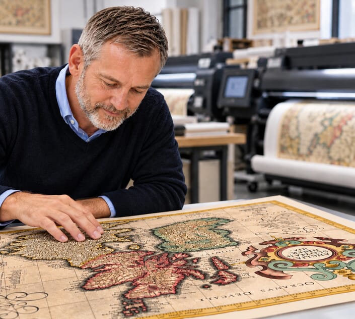
Inspecting Mercator's 1623 old map of Great Britain and Ireland

Fine Art Map Reproductions – Museum-Quality Printing

Unlike most online offerings, our maps are produced entirely in-house, not outsourced to print-on-demand or drop-shipping services. This allows complete control over quality while offering better value. Each map begins with a high-resolution original, carefully enhanced and printed to order using archival papers and pigment inks for exceptional clarity, depth, and longevity. Every piece is personally overseen — no map leaves our workshop unless it is of a quality we would be proud to display ourselves.

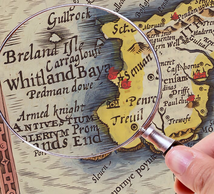
Hand hold a magnifying glass over West Cornwall Map

Authentic Old Map Paper & Accurate Colour Reproduction

Paper choice is essential to the authenticity of our maps. We use specially sourced 190gsm paper made in the UK from pure materials and traditionally pressed with natural woollen felts. This process creates a subtle, randomly textured surface that closely resembles an original antique document. Likewise the use of premium quality ink fully saturates the paper, producing remarkable clarity, depth, and historical character. Colour fastness and sharpness will remain good for in excess of 100 years!

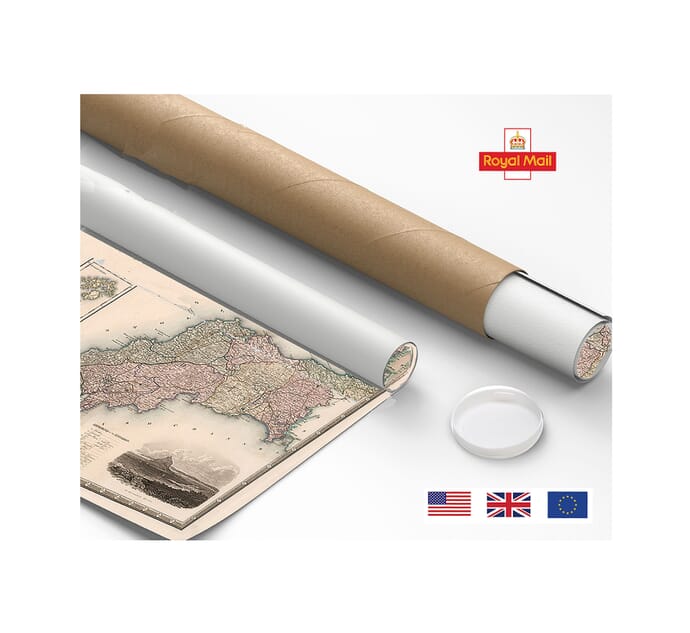
Map in Postal Tube

Buy Old Maps Online in the UK Today Trading online since 1999

The Old Map Company of Great Britain offers a vast and carefully curated collection of the very finest expertly reproduced vintage maps. Our range includes works by renowned cartographers such as John Speed and Willem Blaeu, covering Scotland, England, and beyond. Free UK courier delivery is included, with EU, USA, and worldwide shipping available at cost and calculated at checkout. If you need assistance, our team is always happy to help you choose the perfect map.

RECENT REVIEWS

Daz
DazGB
Verified ownerVerified owner

5/5

Speedy delivery A beautiful representation

3 months ago
David H
David H
Verified ownerVerified owner
5/5

Got there in time and loves it! Cheers David [Gift from US to UK]

5 months ago
Ellan C-S
Ellan C-S
Verified ownerVerified owner
5/5

Thanks Lauren. We received it today - it's gorgeous! Thank you, Ellan

5 months ago
Ivano Di Battista
Ivano Di Battista
Verified ownerVerified owner
5/5

Thank you for your prompt service. I have a gallery and framing business in South Wales. I'm so pleased it is printed in the UK

6 months ago
Robert B
Robert B
Verified ownerVerified owner
5/5

My Isles of Scilly map arrived safely and I'm delighted with it!

6 months ago
Andrew T
Andrew T
Reviewer
5/5

The print arrived safely and we're delighted with it - a lovely reminder of our honeymoon 15 years ago.

6 months ago
Hannah J
Hannah J
Verified ownerVerified owner
5/5

I have just received them! I'm sure our clients will be pleased with them and there could be more projects off the back of this one where we can use more. [Interior Designers]

6 months ago
Sean MacManus
Sean MacManus
Verified ownerVerified owner
5/5

I just received my map of Ireland by Ewart today and, as usual, I am delighted by its quality. The crispness and fineness of detail is excellent and the colour reproduction surpasses my expectations. Please relay my thanks to Steve for another fine effort!

7 months ago
John G
John G
Verified ownerVerified owner
5/5

Many thanks, Lauren. Very pleased with the map and the service: would recommend The Old Map Company to anyone interested in Old Maps.

8 months ago
Lois K
Lois K
Verified ownerVerified owner
5/5

Thrilled , Lauren! Thank You

9 months ago
Ed Simpson
Ed Simpson
Verified ownerVerified owner
5/5

Many thanks, the map arrived safely this morning, and I’m really pleased with it. A stunning reproduction, just as I had hoped. I will keep browsing your website, and may yet be tempted by more of your items! Have a great weekend.

9 months ago
Daniel McCade
Daniel McCade
Verified ownerVerified owner
5/5

Just arrived, wonderful map! Thanks very much!

10 months ago
Jonathon R
Jonathon R
Verified ownerVerified owner
5/5

The map – beautiful – arrived safely, very many thanks.

1 year ago
Rasa Terbetiene
Rasa Terbetiene
Verified ownerVerified owner
5/5

Thank you, I have already found the map. It’s wonderfull! Good luck! Rasa

4 years ago
Mina M.
Mina M.
Verified ownerVerified owner
5/5

My apologies for the very late reply. I wanted to reach out to thank you so much for rushing my order. My partner absolutely loved it. I am amazed with the service so that is a five-star from me. I wish you all the best.

4 years ago

Historical Background

Fine circles and curved Latin lettering give this antique astronomy chart a different character from Cellarius’s more vividly illustrated planetary systems. The title names Tycho Brahe and describes the courses and distances of the planets. Johannes van Loon engraved the plate for Harmonia Macrocosmica, first published in 1660. Its subject is the arrangement and extent of planetary paths in a historical model, not the relative physical sizes of the celestial bodies.

Map Details

  • Original title: Tychonis Brahe Calculus, Planetarum Cursus et Altitudines ob Oculos Ponens
  • Chartmaker: Andreas Cellarius
  • Engraver: Johannes van Loon
  • Source atlas: Harmonia Macrocosmica
  • First published: Amsterdam, 1660, by Johannes Janssonius
  • Edition reproduced: Exact issue unconfirmed
  • Subject: Planetary courses and distances according to Tycho Brahe
  • Original format: Engraved atlas plate with colour

A diagram built around different distances

The largest circles spread almost to the edge of the sheet, while a close cluster of smaller circles occupies the middle. The result is deliberately uneven: much of the composition is open space, with the densest geometry concentrated around the centre. Labels for Saturn and Jupiter are written in large, widely spaced letters across the broader fields. Finer inscriptions describe the boundaries and relationships of the paths. This change in lettering scale helps the eye separate the overall arrangement from its detailed explanation.

A vertical line divides the diagram into upper and lower portions, and text on either side distinguishes northern and southern parts of the planetary scheme. The repeated circles are not merely ornamental rings. Their offset positions and carefully labelled limits are the working language of the diagram. Reading the plate from its centre outward reveals how the small inner arrangement sits within the much larger outer fields.

The importance of the title

The Latin word altitudines can easily lead a modern reader towards the idea of height. In this astronomical caption it concerns the planets’ distances. That meaning, together with cursus, or courses, explains why this sheet should not be described as a picture comparing planet sizes. Cellarius devoted a separate plate to the magnitudes of celestial bodies. Here, the combination of paths, distances and an engraved scale makes a different argument.

Below the central circles is a short horizontal scale relating the drawing to terrestrial measurement. It belongs to the historical construction represented on the sheet. It should not be used to infer accurate modern planetary distances from a reproduction, particularly when the image has been resized for printing. Its presence is still significant: the original diagram seeks to make the relationships measurable, rather than presenting the heavens only as a symbolic picture.

Brahe’s arrangement of the heavens

Brahe’s system kept Earth stationary and placed the Sun in motion around it, while allowing the other planets to travel around the Sun. That combination explains why a Tychonic chart can contain Sun-centred planetary paths without becoming a fully Copernican image. The nested and overlapping geometry belongs to the effort to describe those relationships within a coherent scheme. Cellarius’s treatment is a historical record of the model, not a modern orbital chart.

The attribution also needs care. Brahe is the astronomer whose system is being represented; Cellarius is the author associated with the atlas; van Loon is the engraver of this plate. Those roles explain different parts of the work’s production. Naming all three avoids giving the impression that this is a sheet personally drawn and published by Brahe.

Pastel zodiac and ornamental border

The outer zodiac is divided into softly coloured sections. Small figures of the twins, crab, lion and other signs accompany their names, while the narrow border inside carries fine divisions. At the upper corners, two elaborate scroll-shaped panels divide the title. Small winged figures appear beside the panels and around the lower corners, set against blue areas that contrast with the largely uncoloured diagram.

This restraint is part of the print’s appeal. The eye moves from the small coloured figures to the sweeping letters, then into the central cluster of circles. Much of the engraved information is allowed to remain clear on a pale background. The exact atlas issue reproduced has not been verified, so 1660 identifies the first publication of the source work rather than dating the particular coloured example. The modern fine art print retains the source image’s fold and paper character as well as its unusually spacious astronomical design.