Old Map Uists and Barra
Old Map Uists and Barra Uists and Barra Map Detail Uists and Barra Detail 2

Uists and Barra

Price range: £35.55 through £59.95

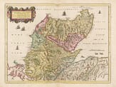
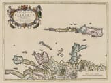
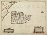
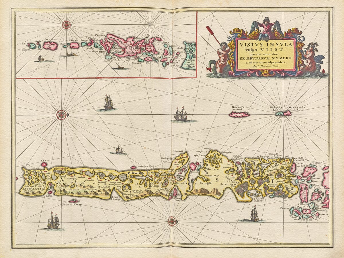
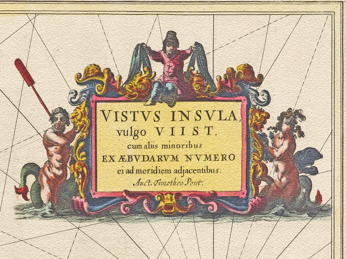
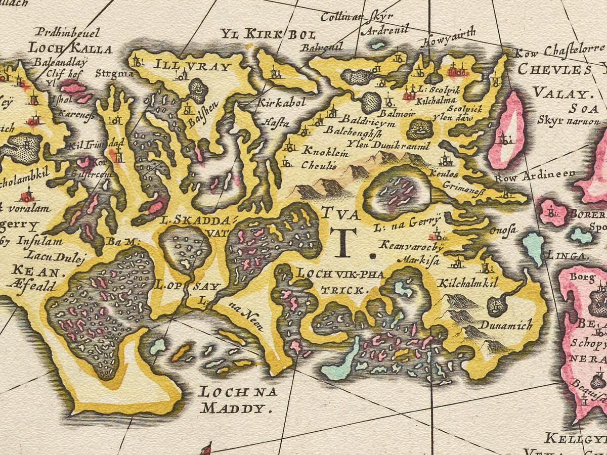
Uists and Barra map engraved and published by William Blaeu Circa 1645

A beautifully executed work depicting these two special islands in the Outer Hebrides. Featuring fine sailing ships from the period the artist has cleverly filled the expansive sea area with fine lines emanating from compass points with a most gratifying result that would not look amiss in any design work old or new.

  • Stunning giclée fine art print on authentically aged heavy textured paper
  • 12 Colour printing technology  •  Guaranteed to pass or exceed museum quality standards
  • Bespoke framing service   •  Free UK Courier Delivery with tracking

Available in two sizes: Large: 24″ x 31″ (61 x 78.7cms)   Medium: 18″ x 24″ (45.5 x 61cms) 

Additional information

Dimensions N/A
Size

, ,

You may also like…

  • Northern Scotland Map from 1600'sNorthern Scotland MapSelect options This product has multiple variants. The options may be chosen on the product page

    A Northern Scotland Map

    Price range: £35.55 through £59.95
  • A Kingdom of Scotland Map 1654Select options This product has multiple variants. The options may be chosen on the product page

    A Kingdom of Scotland Map 1654

    Price range: £35.55 through £59.95
  • Detail from an old map of ScotlandOld Map of Scotland c.1610Select options This product has multiple variants. The options may be chosen on the product page

    An Old Scottish Map

    Price range: £35.55 through £59.95
  • Hebrides MapOld Hebrides MapSelect options This product has multiple variants. The options may be chosen on the product page

    Hebrides

    Price range: £35.55 through £59.95
×
Product added to cart

No products in the cart.