Additional information
| Dimensions | N/A |
|---|---|
| Size |

Price range: £35.55 through £59.95
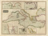
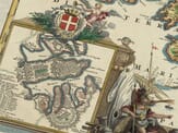
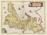
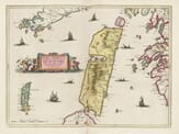
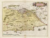
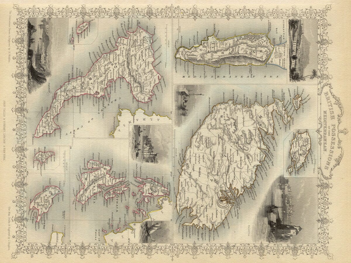
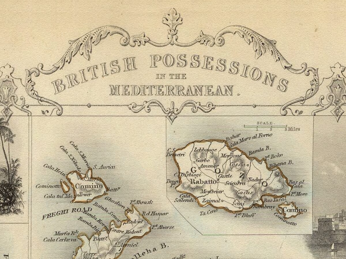
Mediterranean Islands Map
A most attractive map drawn by J Rapkin and entitled the British Possessions in the Mediterranean. It was published in the mid-eighteen hundreds by John Tallis with numerous illustartions engraved by H. Winkles. Featured islands include Gozo, Malta, Gibraltar, Corfu, Paxos, Zante and Thessaloniki all retaining perfect detail.
Available in three sizes: Large: 24″ x 31″ (78.7 x 61cms) Medium: 18″ x 24″ (45.5 x 61cms) Small: 19.5″ x 14″ (49.5 x 35.5cms)
| Dimensions | N/A |
|---|---|
| Size |