Clydesdale
Clydesdale Lower Annandale Lower Annandale

Lower Annandale

Price range: £35.55 through £59.95

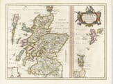
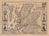
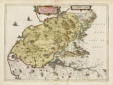
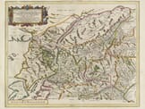
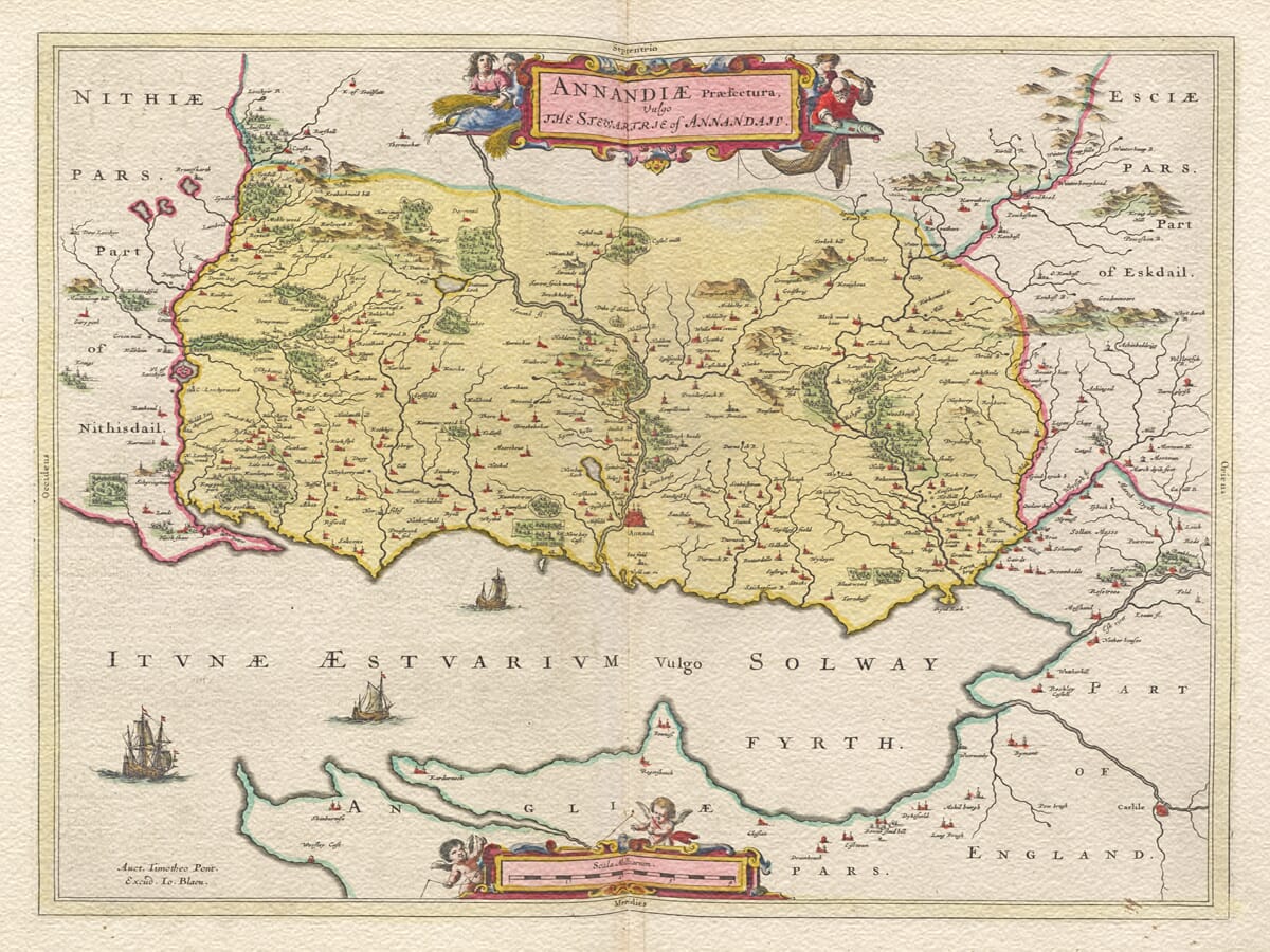
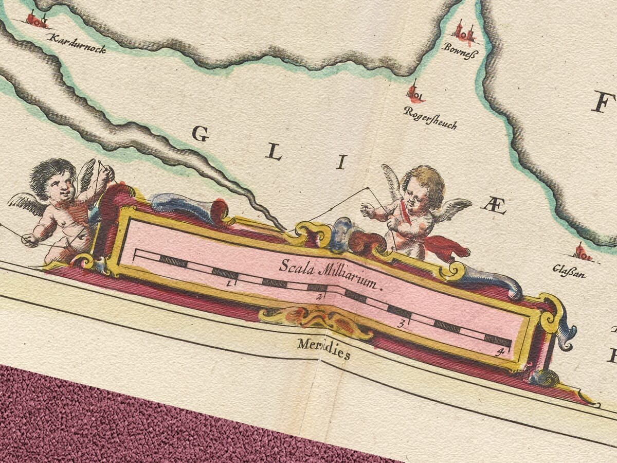
Lower Annandale engraved and published by William Blaeu Circa 1645

From Blaeu’s Atlas Novus published in various editions from 1635 – 1645 and celebrated as one of the finest examples of cartography from the period. An extraordinary total of some twenty thousand Scottish place names are featured within the various maps forming this collection. The maps were compiled from an original survey by one Timothy Pont in the late fifteenth century, subsequently revised by Robert Gordon..

  • Stunning giclée fine art print on authentically aged heavy textured paper
  • 12 Colour printing technology  •  Guaranteed to pass or exceed museum quality standards
  • Bespoke framing service   •  Free UK Courier Delivery with tracking

Available in two sizes: Large: 24″ x 31″ (61 x 78.7cms)   Medium: 18″ x 24″ (45.5 x 61cms) 

Additional information

Dimensions N/A
Size

, ,

You may also like…

  • Scotland Bleau DetailAltSelect options This product has multiple variants. The options may be chosen on the product page

    A 1645 Map of Scotland

    Price range: £35.55 through £59.95
  • Detail from an old map of ScotlandOld Map of Scotland c.1610Select options This product has multiple variants. The options may be chosen on the product page

    An Old Scottish Map

    Price range: £35.55 through £59.95
  • Golloway detail from old mapOld Map of GollowaySelect options This product has multiple variants. The options may be chosen on the product page

    Golloway

    Price range: £35.55 through £59.95
×
Product added to cart

No products in the cart.