Old Map of Crete
Old Map of Crete old-map-crete-detail

Crete Greek Islands

Price range: £35.55 through £59.95

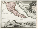
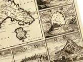
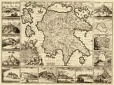
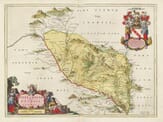
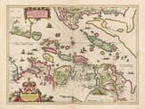
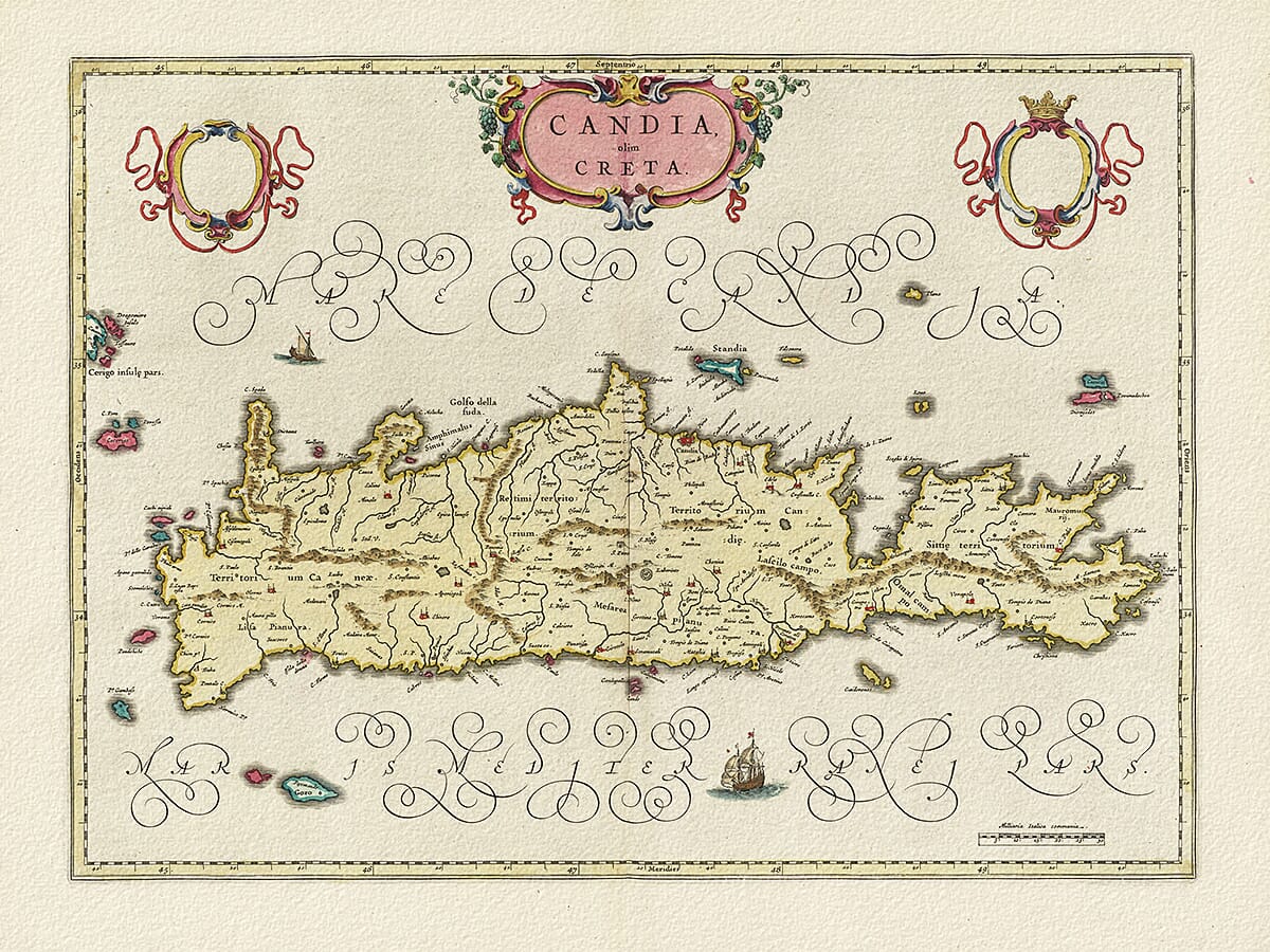
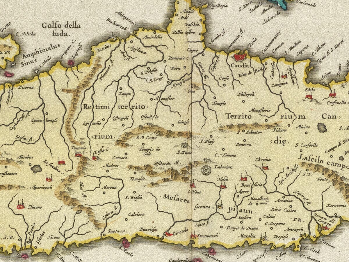
Old Map of Crete Engraved and published by William Blaeu Circa 1645

A beautiful example of Willem Blaeu’s cartography. Greece’s largest island is uniquely brought to life with the addition of colour. Originally published in “Blaeu’s Theatrum Orbis Terrarum, sive Atlas novus. Pars Tertia” (1640) it includes Latin scripture throughout, an attractive title cartouche and ships around the island reflecting the vibrant bustle of the surrounding Mediterranean sea.

  • Stunning giclée fine art print on authentically aged heavy textured paper
  • 12 Colour printing technology  •  Guaranteed to pass or exceed museum quality standards
  • Bespoke framing service   •  Free UK Courier Delivery with tracking

Available in three sizes: Large: 24″ x 31″ (61 x 78.7cms)   Medium: 18″ x 24″ (45.5 x 61cms)  Small: 19.5″ x 14″ (49.5 x 35.5cms)

SKU: N/A Categories: , Tag:

Additional information

Dimensions N/A
Size

, ,

You may also like…

  • Old Map of SantoriniSelect options This product has multiple variants. The options may be chosen on the product page

    Santorini

    Price range: £35.55 through £59.95
  • Detail from an old map of CorfuOld Corfu MapSelect options This product has multiple variants. The options may be chosen on the product page

    Corfu – Greece

    Price range: £35.55 through £59.95
  • Detail from an old map of GreeceOld Map of GreeceSelect options This product has multiple variants. The options may be chosen on the product page

    Greece

    Price range: £35.55 through £59.95
  • Old Greek Town PlansOld GreeceSelect options This product has multiple variants. The options may be chosen on the product page

    Greece an early map

    Price range: £35.55 through £59.95
×
Product added to cart

No products in the cart.