Additional information
| Dimensions | N/A |
|---|---|
| Size |
Price range: £35.55 through £59.95
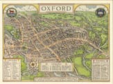
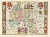
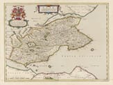
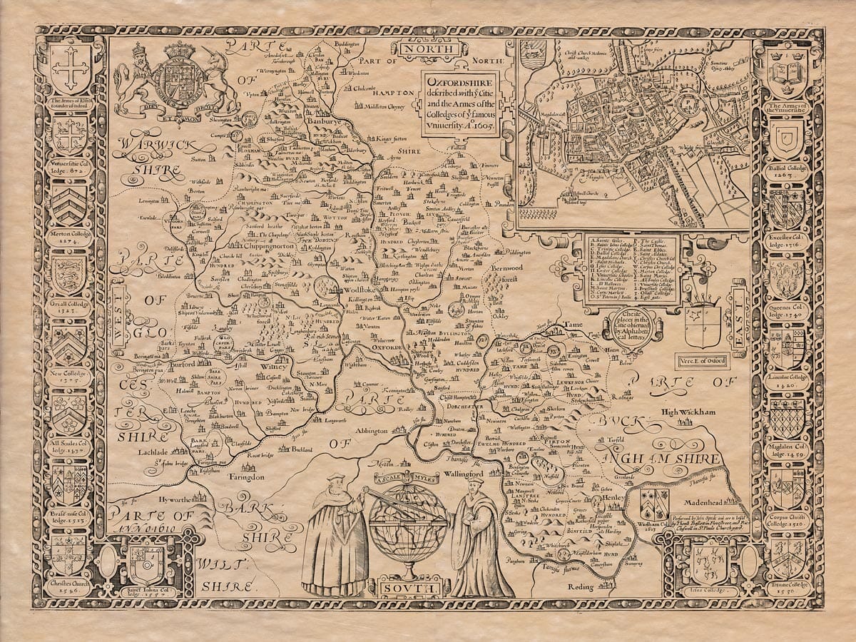
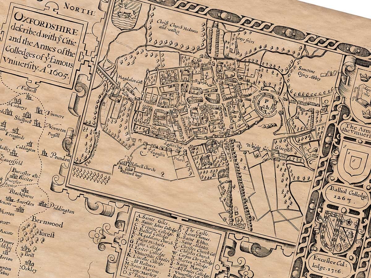
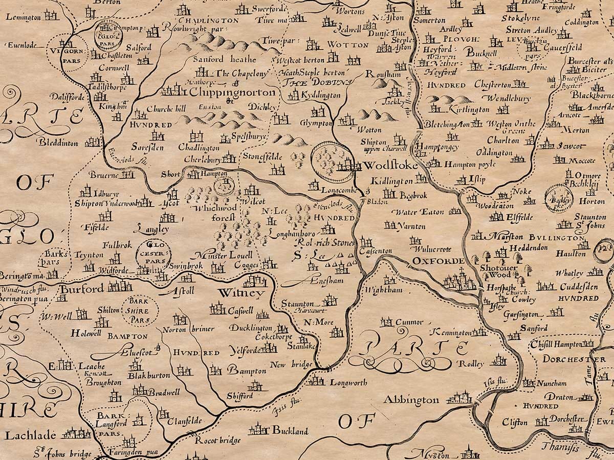
An Old Map of Oxfordshire by John Speed
This fabulous old map print is crammed with detail and decoration including the arms of the Oxford colleges of the time and an incredibly detailed town plan of Oxford. Royal forests covered over two-thirds of Oxfordshire. Within the forest its many deer and prospects of good hunting made it very attractive to the Medieval Royalty. The manor of Woodstock was owned by Edward 1V and Henry V11, who both invested considerable amounts of money improving the house and grounds for hunting purposes. Subsequent monarch’s found Woodstock less inviting. By the early 12th century the small market town of Oxford was becoming a thriving commercial centre attracting scholars to occasional classes and lectures. Over the next 100 years a university was created from these small beginnings.
Available in three sizes: Large: 24″ x 31″ (78.7 x 61cms) Medium: 18″ x 24″ (45.5 x 61cms) Small: 19.5″ x 14″ (49.5 x 35.5cms)
| Dimensions | N/A |
|---|---|
| Size |