Description
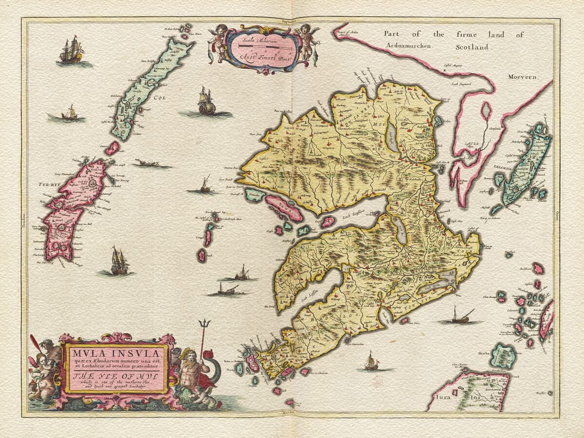
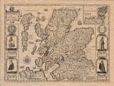
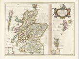
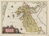
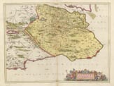
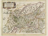
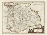
The 1645 map of the Isle of Mull, engraved and published by Willem Blaeu, is a remarkable example of 17th-century cartography. Part of Blaeu’s Scotia Regnum series, this map showcases the intricate artistry and geographical knowledge of the period.
️ Detailed Description of the Map
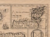
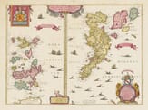
Orientation and Layout: The map is oriented with north to the top, featuring the Isle of Mull prominently in the center. Surrounding the island are numerous smaller isles, reflecting the intricate geography of the Inner Hebrides.
Topography and Hydrography:
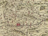
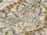
Mull’s rugged coastline is depicted with precision, including notable peninsulas and inlets. The surrounding seas are illustrated with stylized waves and sea monsters, common in Blaeu’s works, adding a mythical dimension to the maritime landscape.
Cartouches and Heraldry:
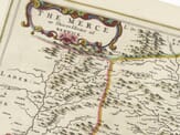
A decorative title cartouche adorns the upper part of the map, embellished with floral motifs and scrollwork. The cartouche includes the Latin title and Blaeu’s imprint. Additionally, coats of arms representing Scottish nobility or regions may be featured, underscoring the map’s noble patronage and the cartographic tradition of heraldic inclusion.
Decorative Elements: Sailing ships navigate the surrounding waters, and compass roses are placed to indicate direction. These elements not only serve a navigational purpose but also enhance the map’s aesthetic appeal.
Cartographic Sources: The map is based on earlier surveys by Timothy Pont, a Scottish cartographer, and later augmented by Robert Gordon of Straloch. Their contributions reflect the evolving understanding of Scotland’s geography during the Renaissance.
Significance
This map is not merely a geographical tool but a work of art that encapsulates the Renaissance’s blend of science, art, and exploration. Its detailed portrayal of the Isle of Mull offers insights into the cartographic practices of the 17th century and serves as a historical document reflecting the era’s understanding of the Scottish landscape.

