Mediterranean Islands Map
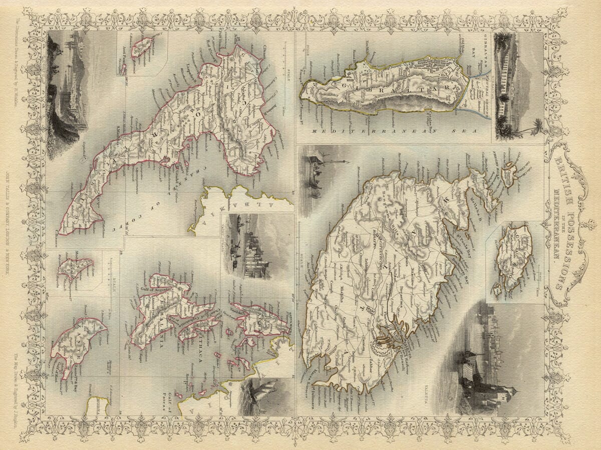
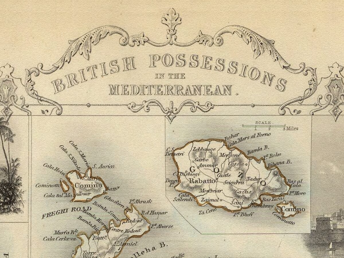
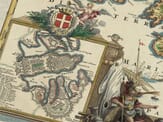
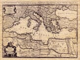
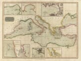
A most attractive map drawn by J Rapkin and entitled the British Possessions in the Mediterranean. It was published in the mid-eighteen hundreds by John Tallis with numerous illustartions engraved by H. Winkles. Featured islands include Gozo, Malta, Gibraltar, Corfu, Paxos, Zante and Thessaloniki all retaining perfect detail.
12 Colour printing technology • Guaranteed to pass or exceed museum quality standards
Bespoke framing service • Free UK Courier Delivery with tracking
Available in three sizes: Large: 24″ x 31″(78.7 x 61cms) Medium: 18″ x 24″(45.5 x 61cms) Small: 19.5″ x 14″ (49.5 x 35.5cms)
Very impressed . . . exceeded my expectations. My son would now like one for Christmas!
Julia Ballester
Very pleased with the quality of the map and it even arrived before it was supposed too.
Nikki
Amazed to find the church where we married on a 400 year old map. Bought as a 1st anniversary gift.
K.H. Middlewhich
I am absolutely delighted with the my antique map. It is so interesting. I would now like to purchase another Map for my sister as a Christmas present.