Description
Emanuel Bowen: A Distinguished 18th-Century Mapmaker
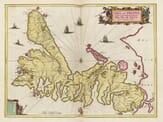
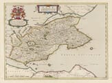
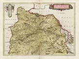
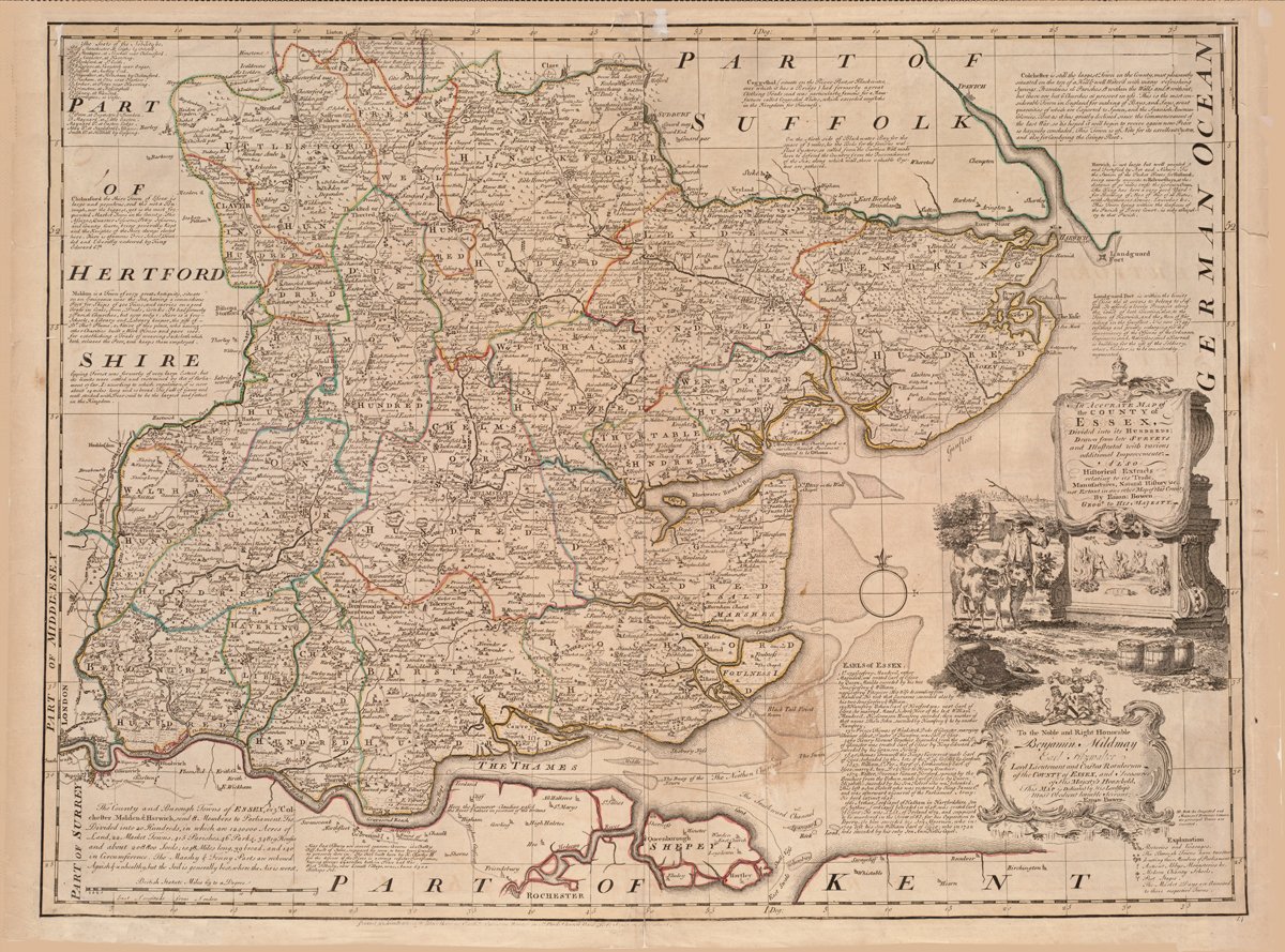
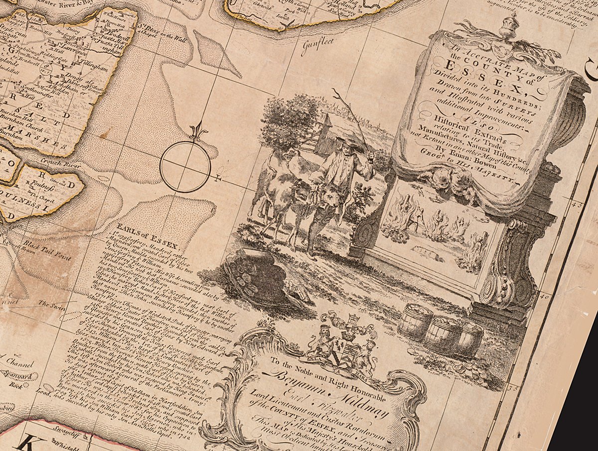
Emanuel Bowen (c. 1694 – 1767) was one of the most respected and prolific British mapmakers of the 18th century. Born in Wales, Bowen rose to prominence in London, where he worked as an engraver, geographer, and publisher. His detailed and decorative maps became widely known for their accuracy and rich annotations, combining both geographical and historical information.
Bowen held prestigious titles, serving as Royal Geographer to King George II of Great Britain and also to Louis XV of France—an unusual honor that reflected his wide-reaching influence. He trained under the Dutch cartographic tradition, which emphasized fine engraving and scholarly content. His works often included extensive textual commentary on the regions depicted, offering insights into local history, trade, and natural resources.
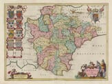
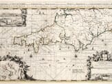
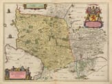
Some of Bowen’s most notable contributions include The Complete System of Geography (1747) and The Large English Atlas (co-created with Thomas Kitchin), which featured detailed county maps of England and Wales. His maps were engraved with great care and often featured elaborate cartouches, coats of arms, and dedications.
Despite his success and royal patronage, Bowen struggled financially later in life. He died in relative poverty in 1767, but his legacy continued through his son, Thomas Bowen, who also became a mapmaker.
Today, Emanuel Bowen is remembered as a master engraver and an important figure in British cartography. His maps are highly valued by collectors and historians alike for their craftsmanship and historical detail.