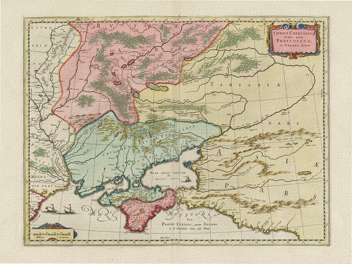
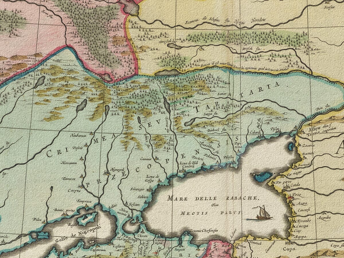
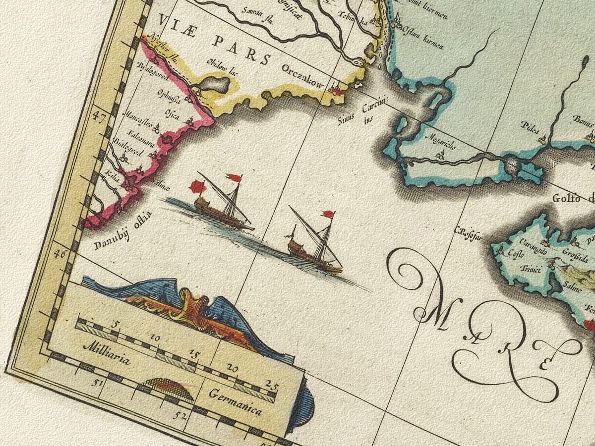
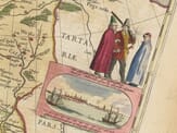
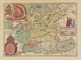
Old Map of Crimea Engraved and published by William Blaeu Circa 1634
A fine example of one of the 17th century’s most renowned and acclaimed cartographers, Willem Blaeu. The map depicts modern day Ukraine, the Crimea and southern Rusiia (including Moscow and Smolensk). We believe the drawing first appeared in Blaeu’s 1634 German edition of the Atlas Appendix – notably his first international atlas. The beautiful use of colour really lifts this map off the paper making it sure to be a feature of any room.
Stunning giclée fine art print on authentically aged heavy textured paper
12 Colour printing technology • Guaranteed to pass or exceed museum quality standards
Bespoke framing service • Free UK Courier Delivery with tracking
Available in three sizes: Large: 24″ x 31″(61 x 78.7cms) Medium: 18″ x 24″(45.5 x 61cms) Small: 19.5″ x 14″ (49.5 x 35.5cms)
Very impressed . . . exceeded my expectations. My son would now like one for Christmas!
Julia Ballester
Very pleased with the quality of the map and it even arrived before it was supposed too.
Nikki
Amazed to find the church where we married on a 400 year old map. Bought as a 1st anniversary gift.
K.H. Middlewhich
I am absolutely delighted with the my antique map. It is so interesting. I would now like to purchase another Map for my sister as a Christmas present.