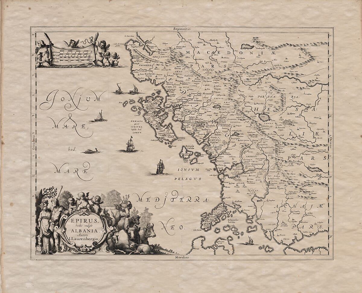
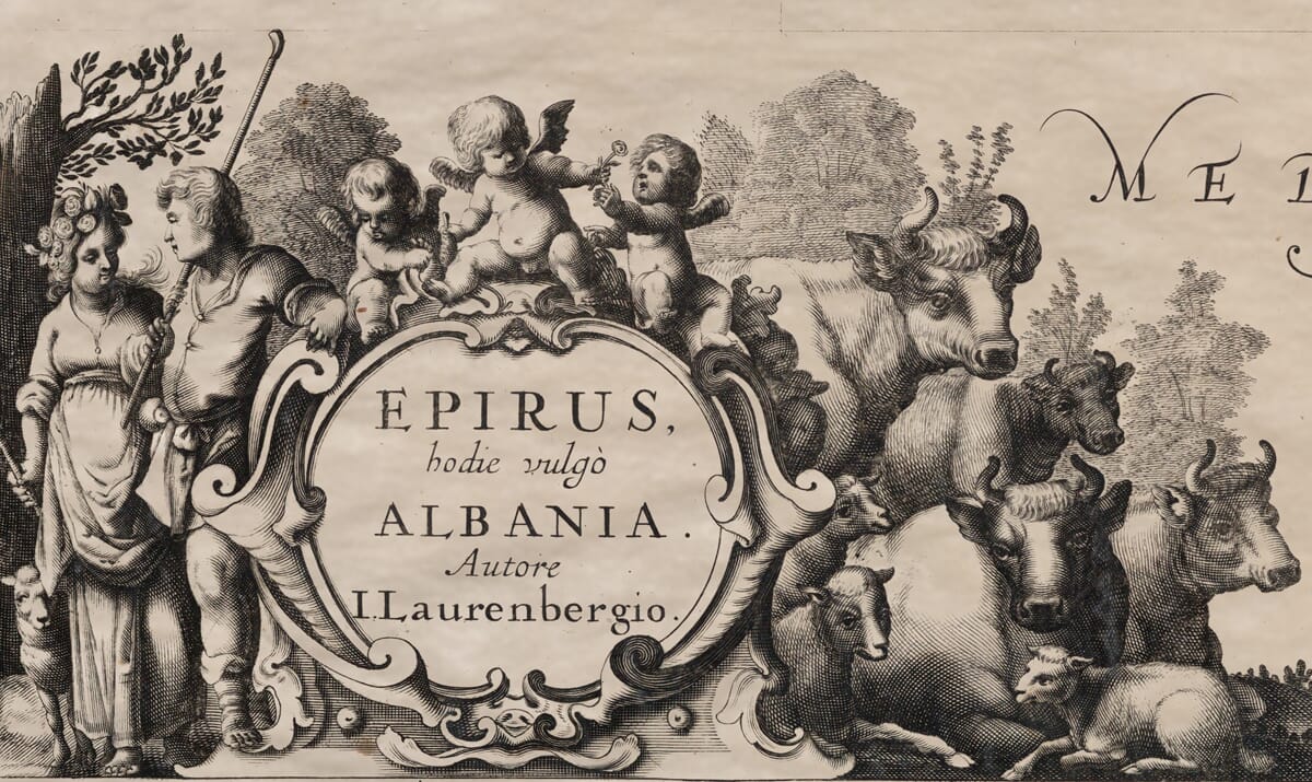
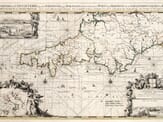
The original measured 40 cm by 51 cm so our Medium size option will be your closest option to the original and was printed at a scale of 1:1,100,000. The map combines classical geography with early modern cartographic artistry. It originally formed part of the Atlas Antiquus, the second section of Jansson’s Atlas Maritimus, recognised and celebrated as the first true sea atlas. The detailed engravings and Latin inscriptions reflect both the scholarly rigor and most pleasing aesthetics typically found within the Golden Age Dutch mapmaking.
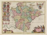
Ideal for collectors, historians, or anyone passionate about Albanian heritage, this rare piece is a striking representation of the region’s historical landscape during a transformative period in European cartography.