Additional information
| Dimensions | N/A |
|---|---|
| Size |

Price range: £35.55 through £59.95
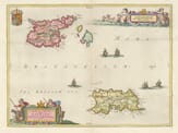
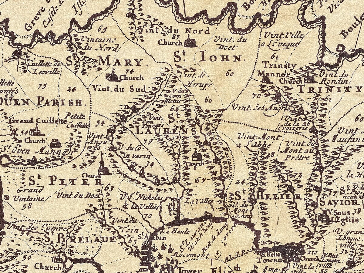
Jersey engraved by John Cary c.1806
Produced from a survey by Philip Dumaresq, Esq., Seigneur of Samaries, by one Tho: Lempriere Philomat. A nicely executed map with particularly interesting detail of the sand banks surrounding the island. Interesting extensions to the points on the two compasses featured extend over the full area of this delightful old map.
Available in three sizes: Large: 24″ x 31″ (61 x 78.7cms) Medium: 18″ x 24″ (45.5 x 61cms) Small: 19.5″ x 14″ (49.5 x 35.5cms)
| Dimensions | N/A |
|---|---|
| Size |