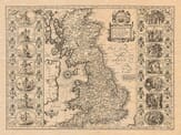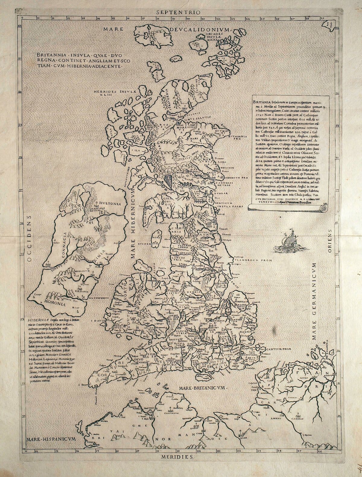
Description
In a large cartouche lower right there is a panel of descriptive text in Latin which we have done our best to translate into modern day English.
BRITAIN
Of the islands that belong to Europe, Britain is the largest. It stretches from south to north and is shaped like a triangle. From the southern cape that faces the Isle of Wight, up to Caithness—the farthest part of Scotland, which is separated from the Orkney Islands by a not very wide strait—it measures 600 miles. From Dover, the farthest point of Kent, which is no more than 30 miles from France, to the farthest tip of Cornwall, which faces Brittany (Armorica), it is 320 miles. From there, moving north again through the Irish Sea to Caithness, the northernmost part of the whole island, it is 800 miles.
The total circumference of the island is about 1,720 miles—somewhat less than what Caesar estimated, which was 2,000 miles.
The island is divided into two kingdoms. The southern part, which is more fertile, more densely populated with towns, and more civilized in its customs, is called England. The northern part, which is harsher in its ways and less fertile due to extreme cold, is called Scotland.
England is separated from Scotland by the rivers Tweed (to the east) and Solway (to the west), and in the interior by the Cheviot Hills.
To the west of Scotland, in the Irish Sea, lie 43 islands called the Hebrides (or Eboniae). The most prominent of these—both for its bishop’s seat and for its ancient association with the Druids—was Mona (now Anglesey), which today belongs to England.
To the north are the Orkney Islands, numbering 31. These abound in barley, fish, and rabbits. The most important of them is Pomona, which is the largest, has a bishop’s seat, and a royal castle.
The northernmost land under Scottish control is Thule, where the pole is elevated 63 degrees. When the sun enters Cancer there, the darkness is either non-existent or extremely brief.
The languages spoken by the island’s inhabitants are five:
-
Cornish, spoken in Cornwall
-
Welsh, spoken in Wales
-
English, spoken by the English and much of southern Scotland
-
Irish, spoken in the Hebrides and the northern part of Scotland
-
Gothic (Norse), spoken only in the Orkney Islands
England has 22 bishoprics, 18 of which are under the Archbishop of Canterbury, and 2 under the Archbishop of York. It also has two renowned universities: Oxford and Cambridge.
England is divided into 22 counties, and it is rich in tin, lead, iron, excellent wool, livestock, and grain. Scotland is rich in fish, livestock, and wool. England has no wolves, but Scotland has many.
England is divided by three great rivers: the Thames, Severn, and Humber. Scotland likewise has three: the Clyde, Forth, and Tay.
The capital of England is London; the capital of Scotland is Edinburgh.
The English use only their own local laws; the Scots use civil law. Both peoples are equally fierce in war: the English excel with bows, the Scots with long spears in hand-to-hand combat.
There is rarely peace between them, since the English seek to expand their empire, while the Scots aim to preserve theirs.
Written in Rome, through the effort and diligence of the English, in the year 1546.