Old map of Derbyshire
Old map of Derbyshire Detail from an old map of Derbyshire 1645 Detail from an old map of Derbyshire 1645

Derbyshire – 1645

Price range: £35.55 through £59.95

Old Map of Derbyshire 1645 engraved and published by William Blaeu Circa 1645

Whilst other counties in the 1645 series can boast great sieges or battles, Derbyshire in comparison is a relatively quiet county. Nevertheless, it was pivotal for both the Royalist and Parliamentarian armies as its central location meant garrisons placed here were often used for the resupplying of men and weapons. Garrisons were placed at key strategic locations such as Bolsover Castle, Winfield, Chatsworth and Tissington. Following his defeat at Naseby King Charles retreat took him through Derbyshire, engaging in small skirmishes on his way to Doncaster.   By purchasing this map of Derbyshire at such a fascinating time in the county’s history you can track the movements of the opposing factions as they battle and siege their way into the history books. This map is also one of a series of maps created by the Dutch Blaeu firm of Amsterdam. Other maps in the series, available to purchase include Cheshire 1645 and East Anglia 1645.
  • Stunning giclée fine art print on authentically aged heavy textured paper
  • 12 Colour printing technology  •  Guaranteed to pass or exceed museum quality standards
  • Bespoke framing service   •  Free UK Courier Delivery with tracking
Available in two sizes: Large: 24″ x 31″ (61 x 78.7cms)   Medium: 18″ x 24″ (45.5 x 61cms) 
+ read more

A stunning certified FINE ART PRINT on heavy textured art paper — not a poster

  • Direct from the publisher — no middlemen
  • Printed in-house in Cornwall
  • Free UK delivery — international shipping available
  • Produced to meet — and often exceed — museum-quality standards
Inspecting Vintage Map Reproduction

Fine Art Map Reproductions – Museum-Quality Printing

Unlike most online offerings, our maps are produced entirely in-house, not outsourced to print-on-demand or drop-shipping services. This allows complete control over quality while offering better value. Each map begins with a high-resolution original, carefully enhanced and printed to order using archival papers and pigment inks for exceptional clarity, depth, and longevity. Every piece is personally overseen — no map leaves our workshop unless it is of a quality we would be proud to display ourselves.

Hand hold a magnifying glass over West Cornwall Map

Authentic Old Map Paper & Accurate Colour Reproduction

Paper choice is essential to the authenticity of our maps. We use specially sourced 190gsm paper made in the UK from pure materials and traditionally pressed with natural woollen felts. This process creates a subtle, randomly textured surface that closely resembles an original antique document. Likewise the use of premium quality ink fully saturates the paper, producing remarkable clarity, depth, and historical character. Colour fastness and sharpness will remain good for in excess of 100 years!

Map in Postal Tube
Buy Old Maps Online in the UK Today Trading online since 1999

The Old Map Company of Great Britain offers a vast and carefully curated collection of the very finest expertly reproduced vintage maps. Our range includes works by renowned cartographers such as John Speed and Willem Blaeu, covering Scotland, England, and beyond. Free UK courier delivery is included, with EU, USA, and worldwide shipping available at cost and calculated at checkout. If you need assistance, our team is always happy to help you choose the perfect map.

RECENT REVIEWS

M.F. Leicestershire
M.F. Leicestershire
Very impressed . . . exceeded my expectations. My son would now like one for Christmas!
Julia Ballester
Julia Ballester
Very pleased with the quality of the map and it even arrived before it was supposed too.
Nikki
Nikki
Amazed to find the church where we married on a 400 year old map. Bought as a 1st anniversary gift.
K.H. Middlewhich
K.H. Middlewhich
I am absolutely delighted with the my antique map. It is so interesting. I would now like to purchase another Map for my sister as a Christmas present.
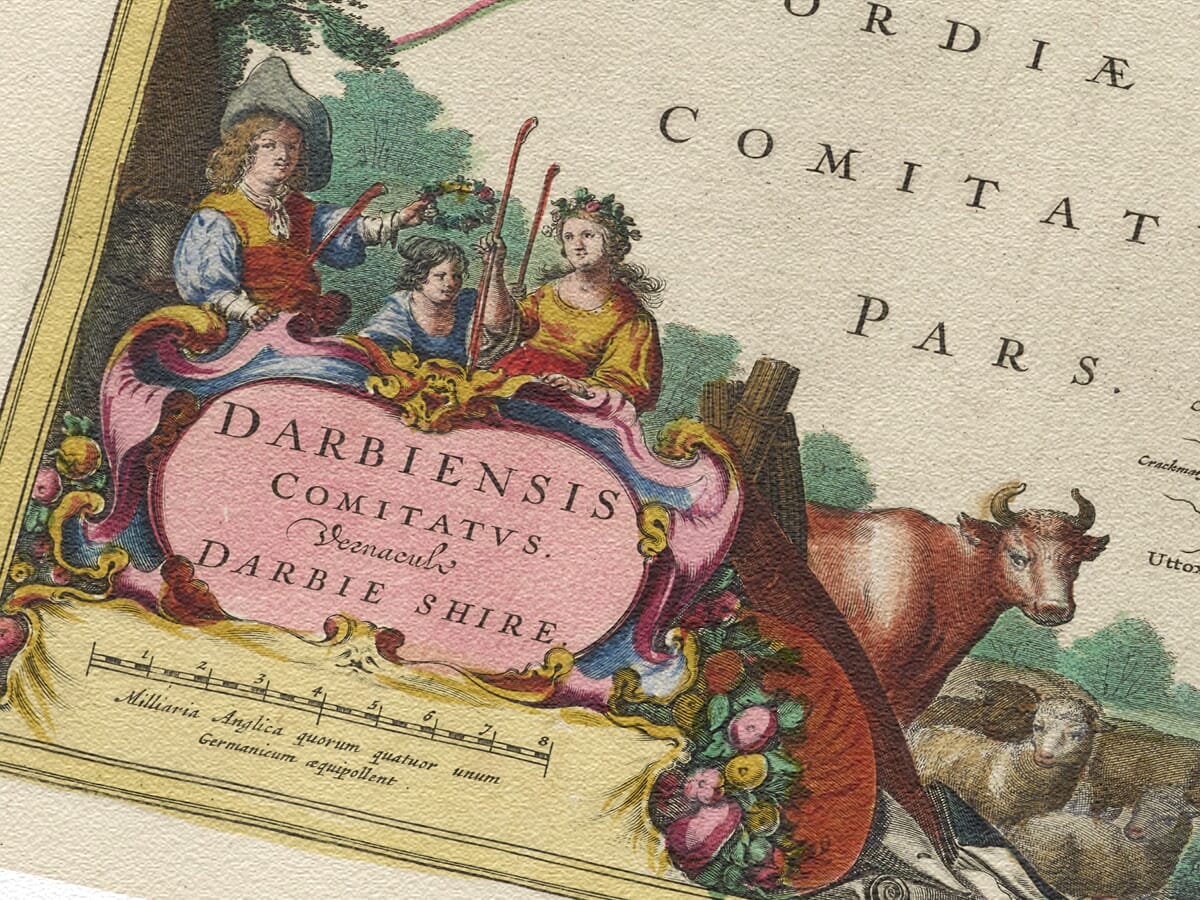
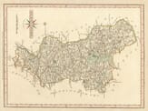
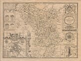
Willem Blau was a Dutch cartographer, atlas maker and publisher. Born in Alkmaar, North Holland, Blaeu was the son of a fisherman who was supposed to continue the family trade, but instead, having a better head for mathematics and astronomy began a very successful cartography business which was then handed over to his sons Johannes and Cornelius upon his death in 1638. The sons continued to develop the business, publishing atlases and maps for numerous clients. This map of 1645 would most likely have been produced by Johannes the eldest son who died in 1673, a year after the Great Fire of Amsterdam which destroyed the building and printing plates.

You may also like…

×
Product added to cart
No products in the cart.