Cyprus has always been an important island because of where it is located, and this early map shows that clearly. Sitting in the eastern Mediterranean, Cyprus lies between Europe, Asia, and the Middle East. The map reflects this by placing the island at the centre of busy sea routes, showing why so many different powers were interested in controlling it throughout history.
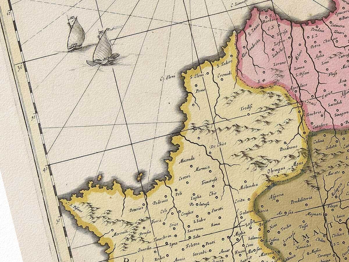
The map labels Cyprus as Insula Cypri, reminding us that it was well known to European mapmakers. Across the island, many towns are named, including Nicosia, Famagusta, Paphos, and Salamis. These places were important at different times in Cypriot history. For example, Salamis was a major city in ancient times, while Famagusta became a key port during the medieval and early modern periods. By including all of these names, the map shows Cyprus as an island with a long and continuous history, rather than a new or temporary settlement.
The way the island is filled with place names suggests that Cyprus was already settled and organised. There are no large blank areas, which makes it look controlled and inhabited. This reflects Cyprus’s history under different rulers, such as the Byzantines, Venetians, and Ottomans. The map seems to support the idea that Cyprus was a valuable possession, not an empty land waiting to be claimed.
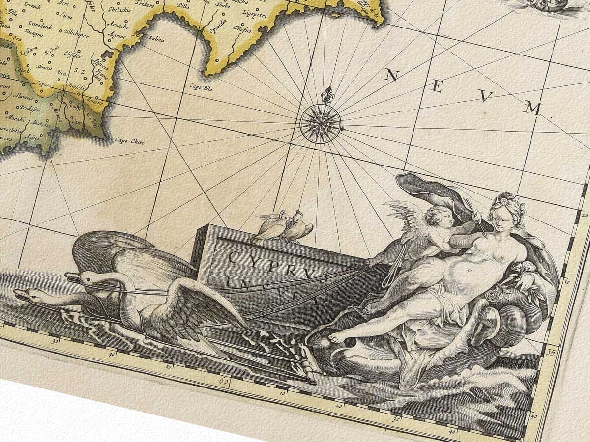
The surrounding sea also tells an important part of Cyprus’s story. The map clearly labels the Mare Mediterraneum and includes compass lines and ships. This highlights how important the sea was to Cyprus’s history. Trade, travel, and warfare all depended on sea routes, and Cyprus was perfectly placed along them. Because of this, the island became a key naval and trading centre, which explains why it was often fought over.
The decorative elements of the map also connect to Cyprus’s past. The classical female figure in the corner is likely a reference to Aphrodite, who, according to myth, was born near Cyprus. This reminds the viewer that Cyprus was famous in ancient Greek culture. Including mythology alongside geography shows how the island’s ancient reputation was still important when the map was made.
The coats of arms on the map suggest political control and power. They reflect the fact that Cyprus was ruled by foreign powers for much of its history. Maps like this were often used to show ownership, so their presence supports the idea that Cyprus was seen as a strategic and valuable territory worth claiming.
Overall, this map reflects the historical importance of Cyprus very clearly. Through its detailed place names, busy sea routes, and symbolic imagery, it shows an island shaped by trade, culture, and conflict. The map does not just show Cyprus’s location; it helps explain why Cyprus played such an important role in Mediterranean history.