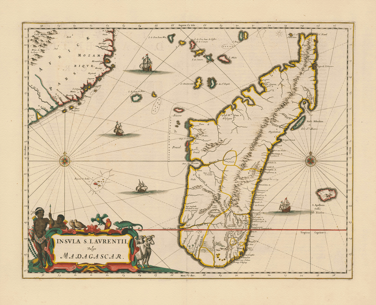
A Description of the Island of St. Laurence, Commonly Called Madagascar, With the Adjacent Seas and Isles
Having for some years applied myself to the examination of the charts and journals of those who have sailed the Eastern Seas, I here present a description of the great Island of St. Laurence, vulgarly called Madagascar, together with the neighbouring coasts and islands that lie within the Channel of Mozambique. This work is not offered as a perfect account, for Nature has not yet yielded all her secrets in these parts, but rather as a faithful representation of what is at present known, observed, and judged most useful for navigation.
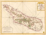
The island itself is of vast extent, stretching far from the north toward the south, and is readily distinguished by its singular form. Its coasts, especially on the eastern side, are tolerably well known, having been frequented by Portuguese, Dutch, English, and French vessels since the last century. The interior, by contrast, remains imperfectly discovered, being mountainous, thickly wooded, and little visited by Europeans. For this reason, I have marked the principal chains of hills and the courses of the rivers as they are reported, without presuming to define the inner regions beyond what credible relations allow.
The northern extremity, called Diego Suarez, is well known to mariners, offering a commodious bay and serving as a notable landmark at the entrance of the Channel. Along the western shore are many rivers, bays, and points, which I have carefully set down, for these are the parts most often approached by ships sailing between the Cape of Good Hope and the Indies. The eastern coast, though less frequented, is traced with sufficient regularity to guide those who are compelled by winds or currents to make it.
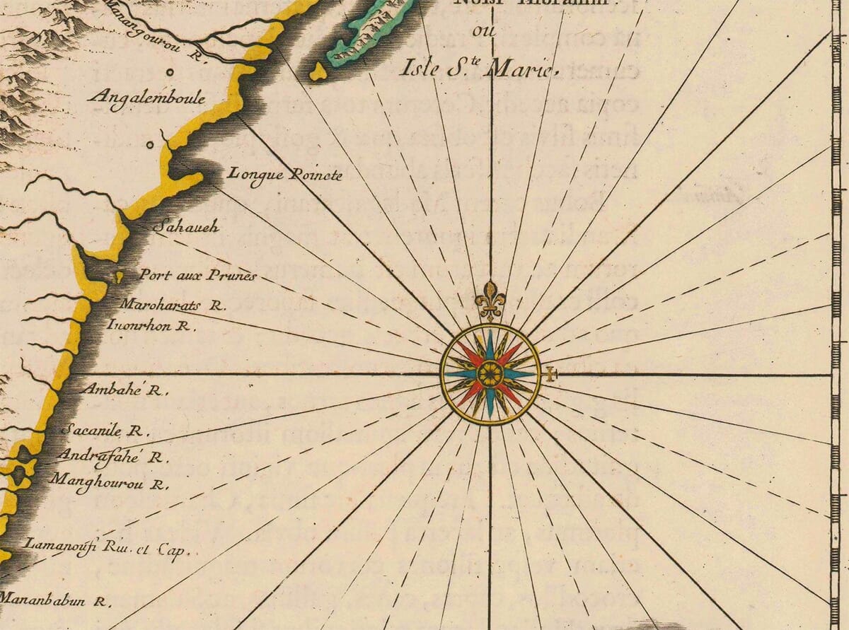
Opposite Madagascar lies the coast of Africa, particularly that part known as Mozambique. This shore, though nearer to us than the interior of the great island, is drawn with less particularity, for it is the sea between these lands that chiefly concerns the navigator. I have therefore filled this space not with ornament only, but with the lines of direction by which courses are steered, issuing from the compass roses placed for that purpose. By these lines, the mariner may judge his route across the Channel, which is at times swift in its currents and treacherous in its winds.
Within this Channel are dispersed several islands of great consequence, though small in compass. Among them are the Isles of Comoro, Ailoa, and others known by the names of Don Juan de Nova, St. Christovam, and the Isles of the Holy Spirit. These serve as marks of position and, in some cases, as places of refreshment. Others, such as the shoal called Bassas da India, are of a more dangerous nature and have been the ruin of many vessels. For this reason, I have taken care to mark such hazards distinctly, with signs long understood by seamen.
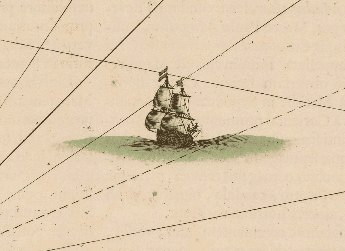
The ships represented upon the sea are not inserted merely for ornament, but to signify the established routes of commerce and discovery. For these waters are seldom empty. They are traversed continually by vessels passing between Europe, Africa, Arabia, and the Indies, carrying goods, men, and intelligence from one quarter of the world to another. The Island of Madagascar, lying as it does along these paths, has long been regarded as a place of great importance, though not yet fully possessed or improved by any European power.
At the lower part of the chart is marked the Tropic of Capricorn, by which the latitude of these regions may be readily apprehended. The degrees are carefully noted, though I freely confess that longitude, in these seas, cannot yet be determined with the same certainty. Where doubt remains, I have preferred caution to false exactness.
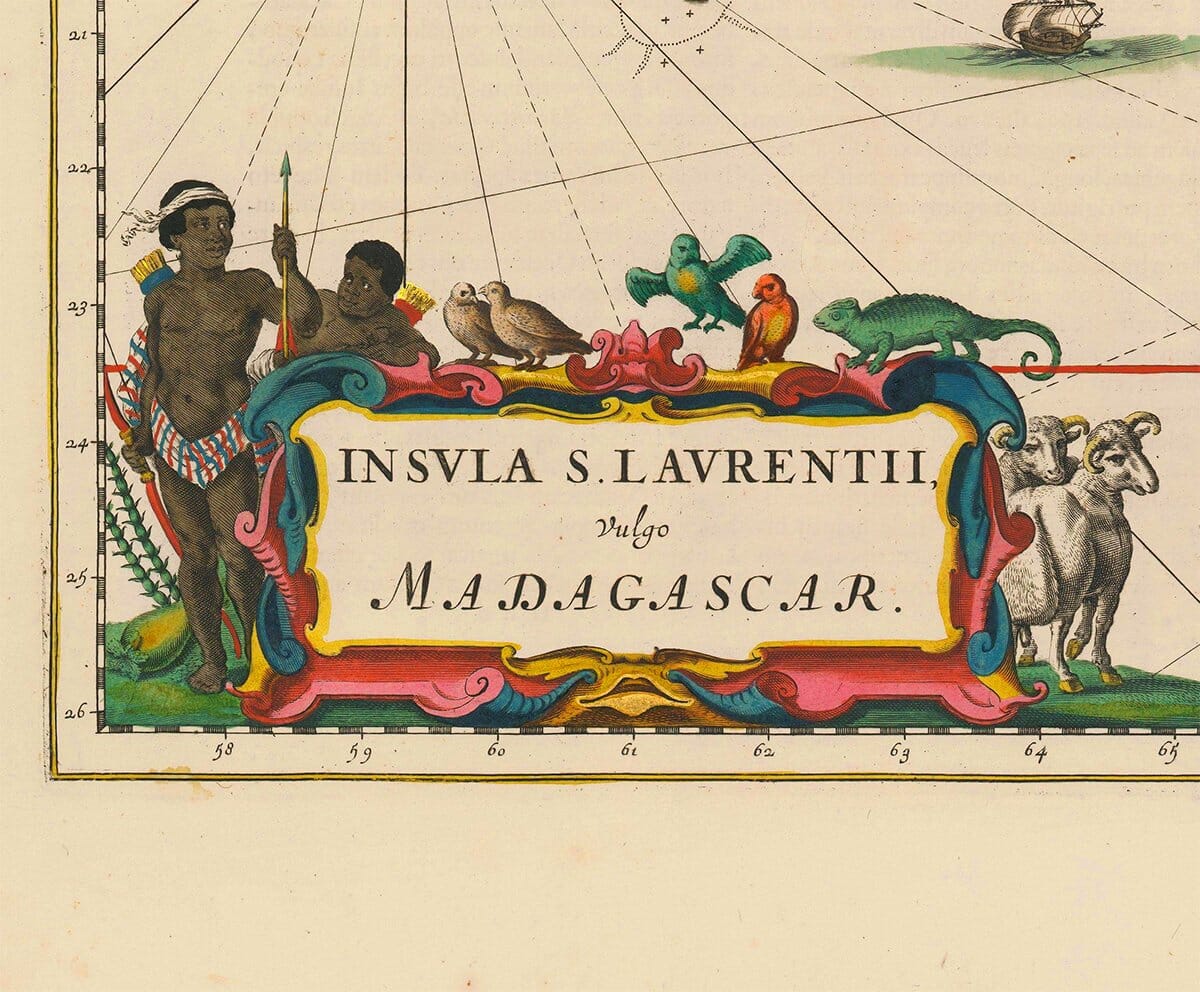
In the cartouche, I have followed the custom of our art, adorning the title with figures and animals suited to the country, according to the accounts of travellers and the received manner of geographical embellishment. Such ornaments, though not essential to navigation, serve to instruct the eye and fix the memory.
Thus, this map is to be understood not as a final authority, but as a faithful summary of what the present age has learned concerning Madagascar and its surrounding seas. It is my hope that those who come after us, furnished with better instruments and longer experience, will correct what is here uncertain and complete what is yet unknown.