Old London Railway Map
Old London Railway Map london railway map old london railway 1900 old london railway map

Very Large Old London Railway Map

£189.95

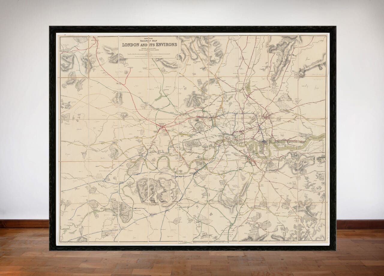
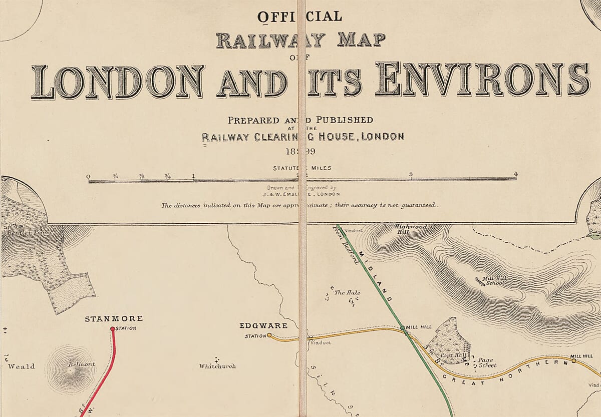
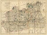
Dated 1899 and prepared and published at the Railway Clearing House. Drawn and engraved by J. & W. Emslie

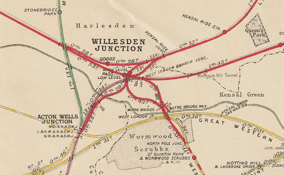
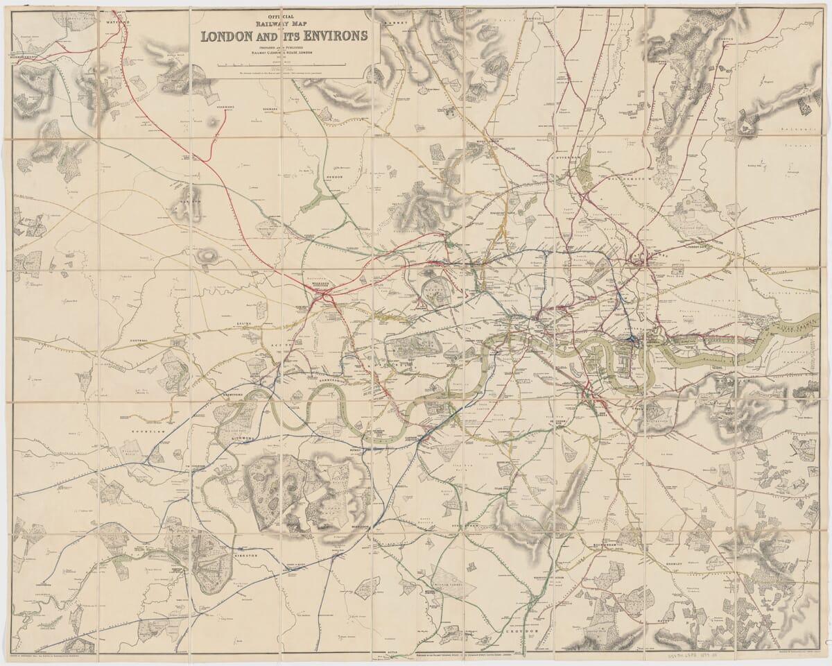
A fascinating number of old lines are detailed including the London and North Western line, the Metropolitan line, the Great Northern, North London and the London and South Western. The old lines around the London Docks are particularly well described with many interesting stations listed.

Numerous railway stations are featured from Rickmansworth and Watford to the north east, Sheperton and Weybridge to the south west, Chingford and Loughton to the north east and Hayes and Orpington to the south east.

Produced on canvas it’s original size was 102 x 127 cm. We are able to re-produce it close to that size at 40″ x 32″ (81.26 x 101.6cms) as a fine art print on canvas (as per the original)

You may also like…

  • Detail from old map of Great BritainOld Map of Great BritainSelect options This product has multiple variants. The options may be chosen on the product page

    Old Map of Great Britain

    Price range: £35.55 through £59.95
  • Anglo Scots detailAnglo Scots ParchmentSelect options This product has multiple variants. The options may be chosen on the product page

    Anglo Scots

    Price range: £35.55 through £59.95
  • Surrey Detail from old railway MapSurrey Railway MapSelect options This product has multiple variants. The options may be chosen on the product page

    Surrey by J. & C. Walker

    Price range: £35.55 through £59.95
×
Product added to cart

No products in the cart.