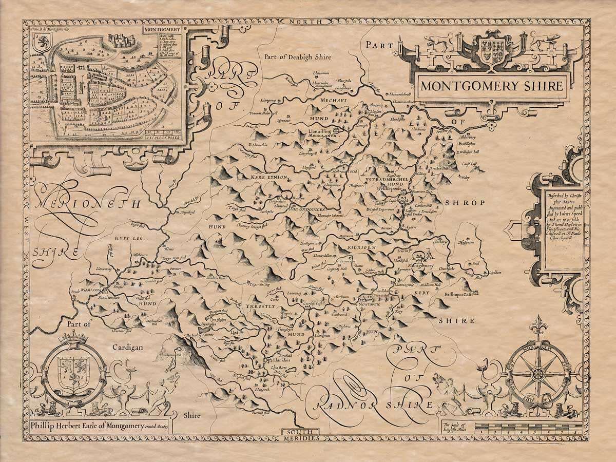
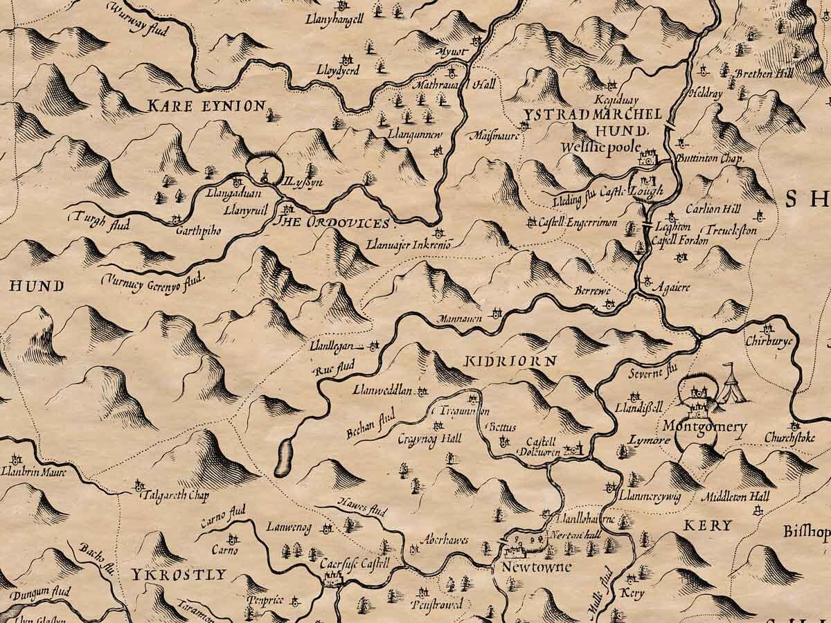
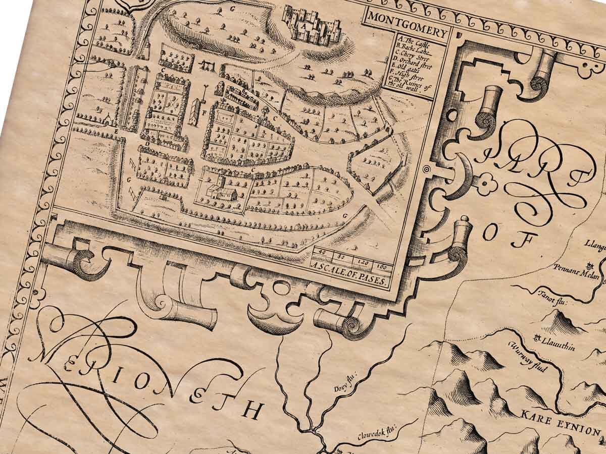
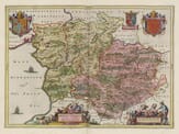
Montgomeryshire was predominantly a pastoral county extending from the fertile Shropshire plain in the East to the mountain regions in the West. The ancient oak forests and good pastures of cattle, horses and sheep, together with lush grasslands justified the counties reputation as the paradise of Wales. However, during the sixteenth century, Montgomery suffered the same problems of deforestation and enclosure as the rest of the country. The county had deposits of iron ore, which helped supplement the earnings of the farming economy. A fascinating document that brings Montgomery history to life.
Authentically aged heavy textured paper
12 Colour printing technology • Guaranteed to pass or exceed museum quality standards
Bespoke framing service • Free UK Courier Delivery with tracking
Available in three sizes: Large: 24″ x 31″(78.7 x 61cms) Medium: 18″ x 24″(45.5 x 61cms) Small: 19.5″ x 14″ (49.5 x 35.5cms)
Very impressed . . . exceeded my expectations. My son would now like one for Christmas!
Julia Ballester
Very pleased with the quality of the map and it even arrived before it was supposed too.
Nikki
Amazed to find the church where we married on a 400 year old map. Bought as a 1st anniversary gift.
K.H. Middlewhich
I am absolutely delighted with the my antique map. It is so interesting. I would now like to purchase another Map for my sister as a Christmas present.