Old French Road Map
Old French Road Map Old French Road Map detail Historical French Road Map detail

France – an old road map

Price range: £35.55 through £59.95

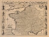
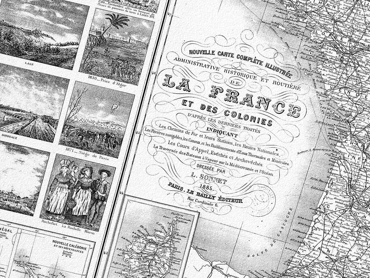
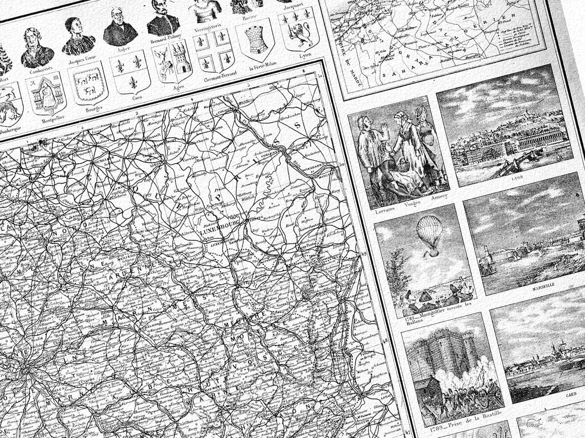
French Road Map from 1885

An extraordinary work depicting the historic administrative areas and roads of France and its colonies including Senegal, Martinque and Algeria. The detail in the piece of art is remarkable and make it sure to be a focal point of any room. Click below to see the framing options we have available for this map.

  • Stunning giclée fine art print on authentically aged heavy textured paper
  • Latest  printing technology  •  Guaranteed to pass or exceed museum quality standards
  • Bespoke framing service   •  Free UK Courier Delivery with tracking

Available in two sizes: Large: 24″ x 31″ (61 x 78.7cms)   Medium: 18″ x 24″ (45.5 x 61cms) 

SKU: N/A Categories: , Tag:

Additional information

Dimensions N/A
Size

, ,

You may also like…

  • Detail from an old map of FranceOld Map of FranceSelect options This product has multiple variants. The options may be chosen on the product page

    France – an old map by John Speed

    Price range: £35.55 through £59.95
  • Old Plan de_ParisParis 1615Select options This product has multiple variants. The options may be chosen on the product page

    Paris 1615

    Price range: £35.55 through £59.95
  • Old Paris MapParis MapSelect options This product has multiple variants. The options may be chosen on the product page

    Paris 3

    Price range: £35.55 through £59.95
  • Paris MapParis MapSelect options This product has multiple variants. The options may be chosen on the product page

    Paris

    Price range: £35.55 through £59.95
×
Product added to cart

No products in the cart.