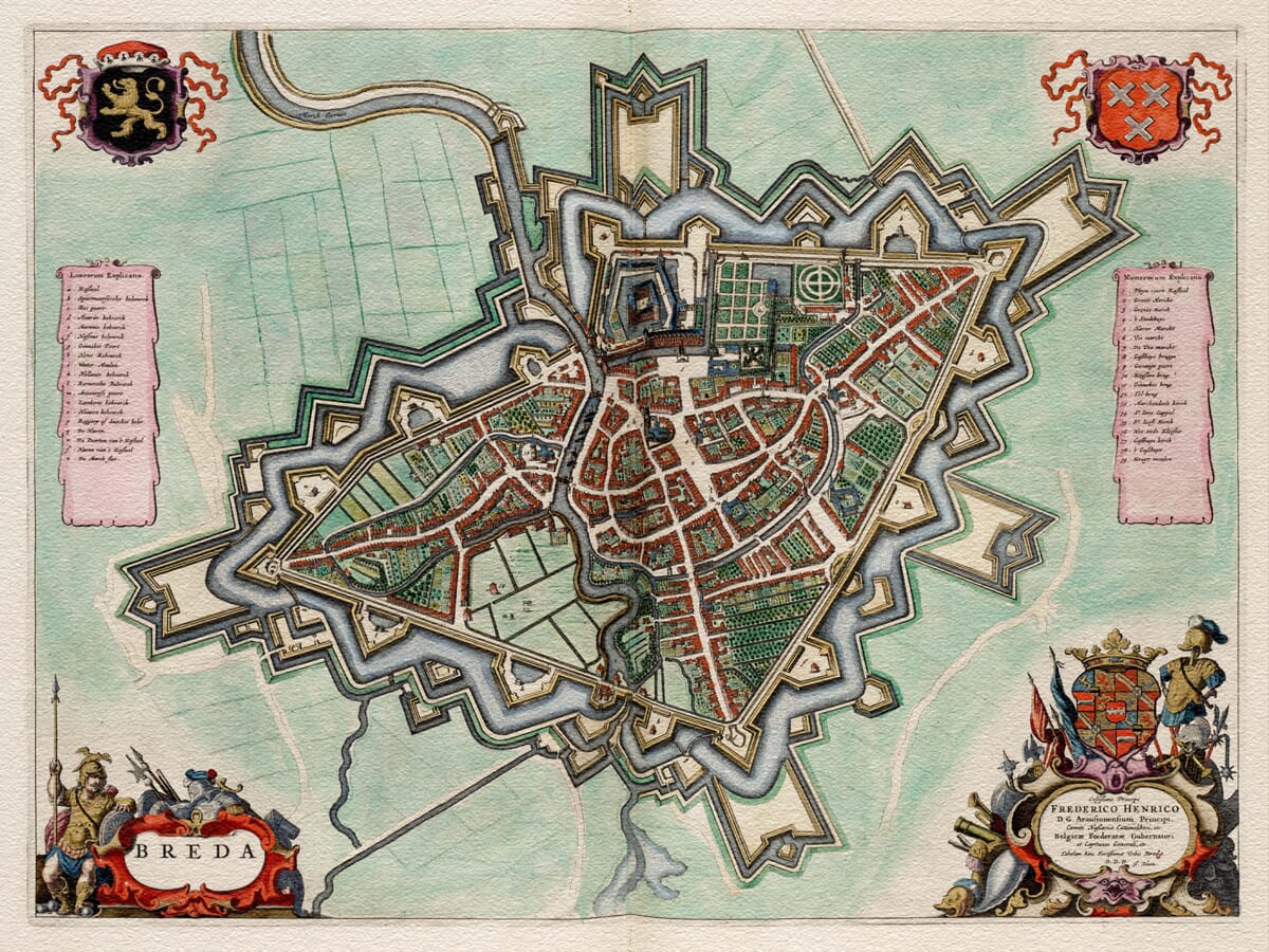
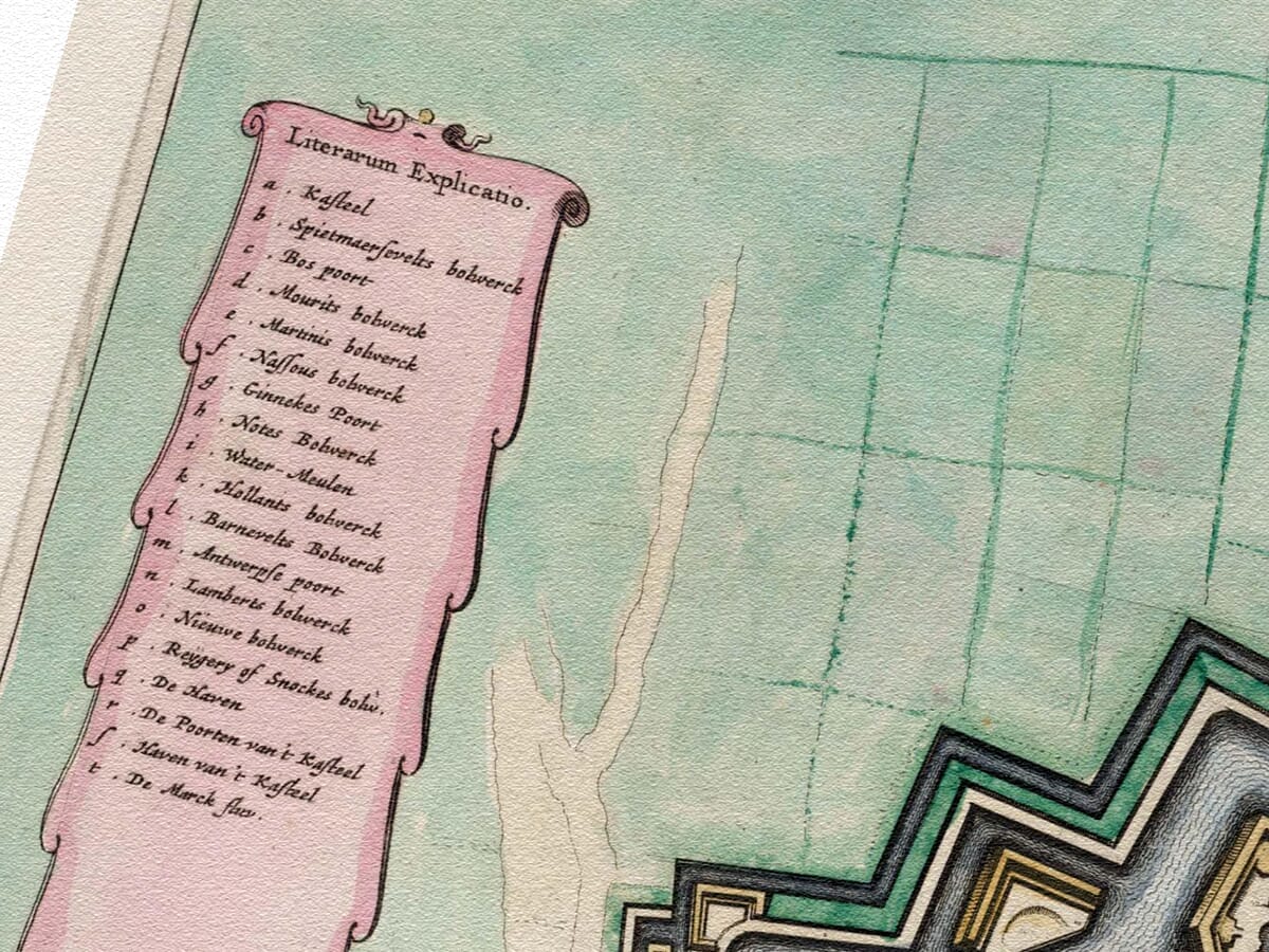
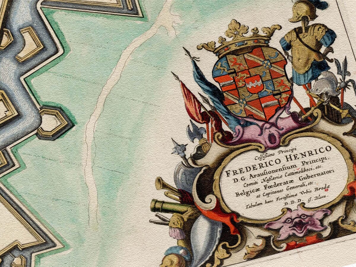
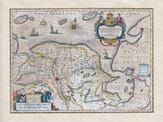
A unique bird’s eye view of this fortified city as it stood in the middle of the 17th century. The city of Breda is located in the North Brabant province of The Netherlands and lies at the meeting of River Mark (Dintel) and River AA. At the time of the drawing, the city was considered to be of significant strategic importance. Each corner of the map is beautifully decorated with a different feature, including the coat of arms in the top right hand corner. This map was originally published in ‘Toonneel der steden van de Vereenighde Nederlanden’ (1652), an atlas of maps of the cities and towns of the United Provinces of the Netherlands, published by Dutch cartographer Joan Blau (1596-1673).
Authentically aged heavy textured paper • 12 Colour printing technology • Guaranteed to pass or exceed museum quality standards • Bespoke framing service • Free UK Courier Delivery with tracking
Available in three sizes: Large: 24″ x 31″(78.7 x 61cms) Medium: 18″ x 24″(45.5 x 61cms) Small: 19.5″ x 14″ (49.5 x 35.5cms)
Very impressed . . . exceeded my expectations. My son would now like one for Christmas!
Julia Ballester
Very pleased with the quality of the map and it even arrived before it was supposed too.
Nikki
Amazed to find the church where we married on a 400 year old map. Bought as a 1st anniversary gift.
K.H. Middlewhich
I am absolutely delighted with the my antique map. It is so interesting. I would now like to purchase another Map for my sister as a Christmas present.